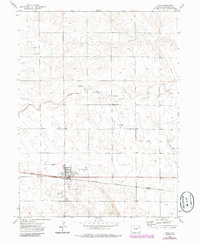
1972 Map of Otis
USGS Topo · Published 1985About this map
The town of Otis serves as the focal point of this Eastern Colorado landscape in the early 1970s, situated at the intersection of the Burlington Northern railroad and the regional highway system. This portion of Washington County is characterized by a balance of transportation infrastructure and rural resource extraction, evidenced by the presence of a Landing Strip and Stansfield Airport alongside several Oil Wells and Gas Wells. The topography is defined by the winding path of Surveyor Creek, which meanders across the northern half of the survey area. Local landmarks such as the Cem on the edge of town and Haverland Pond to the south offer specific points of interest for genealogists and local historians. To the east, the settlement of Calhoun appears along the rail line, marking a secondary point of activity in this agricultural and industrial corridor.
Find a feature on this map
15 named features on this map. Tap any name to fly to it.
Don’t see what you’re looking for? This feature index may not catch every label — zoom into the map to look around manually.
Map Details
Editions of this 1972 Otis Map
3 editions found
Other maps of this area

1954 · Sterling
USGS Topo · 1:250,000

1958 · Sterling
USGS Topo · 1:250,000

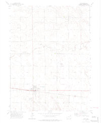
1972 · Otis
USGS Topo · 1:24,000

1972 · Hyde
USGS Topo · 1:24,000

1972 · Lone Star
USGS Topo · 1:24,000

1972 · Snyder Lake
USGS Topo · 1:24,000

1972 · Otis SE
USGS Topo · 1:24,000

1972 · Burdett
USGS Topo · 1:24,000

1973 · Platner
USGS Topo · 1:24,000

1973 · Buffalo Springs Ranch SE
USGS Topo · 1:24,000