Old Maps of Idalia, Colorado for Academic Research
Study the evolution of Idalia with 10 high-resolution historic maps. Whether you're teaching, researching, or modeling changes in land use, these maps provide essential visual documentation of urban, environmental, and geographic change.
- Analyze long-term change: Track patterns in development, transportation, and natural features.
- Ideal for environmental or urban studies: Support academic projects with primary historical map data.
- Use in the classroom or lab: Educators and researchers rely on these maps to bring historical context to life.
These maps are a powerful tool for teaching, research, and visualizing how Idalia has changed over the decades.
Idalia, CO maps
(10)- 1954 Map of Limon
 1954 Limon1954 Print · USGSThe Eastern Colorado plains and the Kansas borderlands come alive in the mid-fifties, showing the vital rail-and-road corridor through Limon. Genealogists and historians can trace the Chicago Rock Island & Pacific line through Burlington and find remote outposts like Arickaree and Anton.4 unique versions available
 - 1957 Map of Limon
 1957 Limon1957 Print · USGSThe High Plains of Eastern Colorado and Western Kansas come alive in the mid-1950s, showing the vital rail-and-road connections of the era. You can trace the path of the Chicago Rock Island and Pacific through towns like Limon, Stratton, and Burlington or find the early footprint of Bonny Reservoir.
 - 1958 Map of Limon
 1958 Limon1958 Print · USGSEastern Colorado and the Kansas border meet in this late-fifties study of High Plains rail and river systems. Researchers can trace the path of the Chicago Rock Island and Pacific through Limon and Burlington, or locate the Bonny Dam and Bonny Reservoir.
 - 1968 Map of Idalia, 1971 Print
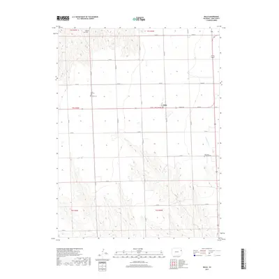
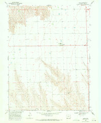 1968 Idalia1971 Print · USGSThe High Plains of Yuma County are documented here in the late sixties, centered on the community of Idalia. Genealogists and local historians can trace family roots at Lucas Memorial Cem and St John Ch or locate the old High Sch.
 - 1983 Map of Bonny Reservoir, 1984 Print
 1983 Bonny Reservoir1984 Print · USGSThe high plains of eastern Colorado and western Kansas appear here in the early eighties, centered on the vital waters of Bonny Reservoir. Genealogists and local historians can trace small prairie settlements like Idalia, Kirk, and the historic site of Beecher Island.
 - 2010 Map of Idalia, 2010 Print
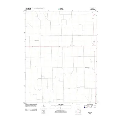 2010 Idalia2010 Print · USGSCovers Idalia, including Yuma County, United States, and other nearby areas
 - 2013 Map of Idalia, 2013 Print
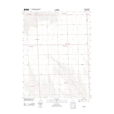 2013 Idalia2013 Print · USGSCovers Idalia, including Yuma County, United States, and other nearby areas
 - 2016 Map of Idalia, 2016 Print
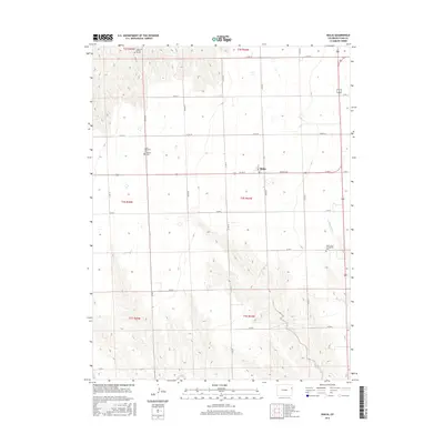 2016 Idalia2016 Print · USGSCovers Idalia, including Yuma County, United States, and other nearby areas
 - 2019 Map of Idalia, 2019 Print
 2019 Idalia2019 Print · USGSCovers Idalia, including Yuma County, United States, and other nearby areas
 - 2022 Map of Idalia, 2022 Print
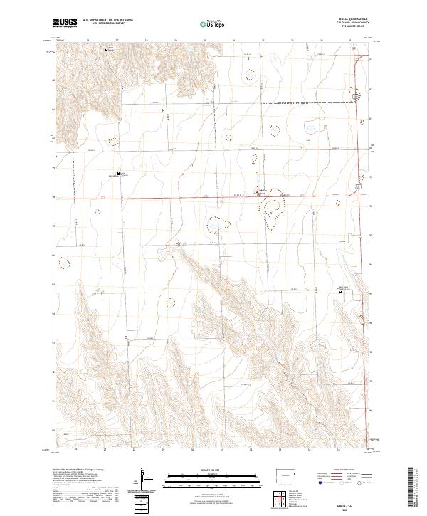 2022 Idalia2022 Print · USGSEastern Colorado plains life is centered around the small community of Idalia in this recent survey. Genealogists and local historians can locate the Mildred Cem, Saint Johns Evangelical Cem, and the unique Grave of Buffalo Hunter landmark.
End of results
Showing maps 1-10 of 10
Frequently asked questions
- What are the different types of historical maps available for Idalia?
- What is the oldest map of Idalia?
- Where can I purchase historical maps of Idalia for my home or office?
- Where can I download high-res historical maps of Idalia?
- Are there historical topographic maps available for Idalia?
- Is there historical aerial imagery available for Idalia?
- Where are historical maps of Idalia sourced from?