Old Maps of Vernon, Connecticut for Metal Detecting
Plan your next treasure hunt with 28 historic maps of Vernon. Find old homesites, ghost towns, trails, and gathering spots that may be lost to time — perfect for identifying promising metal detecting locations.
- Locate forgotten sites: Uncover places like long-lost settlements, abandoned rail lines, or gathering spots.
- Plan better hunts: Use map overlays combined with LiDAR or satellite views to narrow in on historically rich areas.
- Made for detectorists: Thousands of hobbyists use these maps to discover relics, coins, and hidden history.
Use these historic maps to boost your research and find new opportunities beneath the surface of Vernon.
Vernon, CT maps
(28)- 1892 Map of Hartford
 1892 Hartford1892 Print · USGSGreater Hartford in the early 1890s is captured here as a bustling corridor of river commerce and expanding rail lines. Researchers can trace the ancestral locations of Warehouse Point, locate the historic Bissel Ferry, and follow the old Hartford Division tracks.8 unique versions available
 - 1892 Map of Tolland
 1892 Tolland1892 Print · USGSTolland and Coventry are shown here in the 1890s during a period of industrial growth along the region's river valleys. Genealogists and historians can trace the early rail networks and industrial centers like Rockville, Stafford Springs, and Talcottville.7 unique versions available
 - 1906 Map of Farmington
 1906 Farmington1906 Print · USGSCentral Connecticut at the turn of the century is a landscape of river-powered industry and rail-connected towns. Researchers can trace historic river crossings like Bissell Ferry and explore early village centers including Collinsville, Satans Kingdom, and Pine Meadow.2 unique versions available
 - 1921 Map of Tolland
 1921 Tolland1921 Print · USGSTolland County at the start of the twenties reveals a complex network of electric rail lines and industrial waterpower. Genealogists can locate family homes and centers of trade like Stafford Springs, Talcottville, and the Conn. Epileptic Colony.
 - 1928 Map of Manchester
 1928 Manchester1928 Print · USGSHartford County's industrial and rural landscape is captured here in the late twenties, during a period of significant regional growth. Researchers can trace the path of the New York New Haven and Hartford railroad through local hubs like Buckland and Manchester Green.
 - 1944 Map of Manchester
 1944 Manchester1944 Print · USGSManchester and its surrounding townships are shown in detail during the mid-forties as industrial centers and rural villages expanded alongside the rail lines. Researchers can trace local lineage through Jonathan Edwards Cem, locate historic schools like Ellsworth High Sch, or follow the Hockanum River through Hillardville.3 unique versions available
 - 1944 Map of Rockville
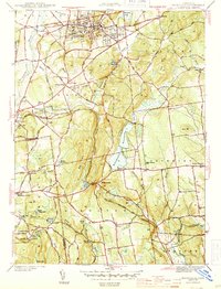 1944 Rockville1944 Print · USGSTolland County during the mid-forties shows a landscape of busy mill towns and high ridge farms connected by the New York New Haven and Hartford Railroad. Genealogists can trace family landmarks and rural schoolhouses like Silver St Sch, Maple St Sch, and the Old Vernon Cem.4 unique versions available
 - 1947 Map of Hartford, 1955 Print
 1947 Hartford1955 Print · USGSSouthern New England and the Hudson Valley are shown in detail during the post-war expansion era. Genealogists and researchers can trace local landmarks from the State Capitol and Yale University to the Stratford Lighthouse and Woodlawn Cem.2 unique versions available
 - 1948 Map of Hartford
 1948 Hartford1948 Print · USGSSouthern New England is captured here in the late 1940s, showcasing a landscape of thriving industrial cities and developing parkways. Genealogists and historians can trace the rail networks of the New York New Haven and Hartford RR or locate coastal defense sites like Fort Terry and Camp Shanks.2 unique versions available
 - 1952 Map of Manchester, 1954 Print
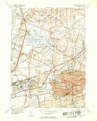 1952 Manchester1954 Print · USGSManchester and the surrounding river valleys are captured here during the post-war growth of the early fifties. Genealogists and local historians can locate several family landmarks including Rye Street Cem, Talcottville, and the Nathan Hale Sch.3 unique versions available
 - 1953 Map of Rockville, 1955 Print
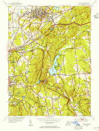 1953 Rockville1955 Print · USGSTolland and Hartford Counties show a blend of industrial centers and rural farmsteads in the early fifties as the highway system begins to expand. Researchers can locate family landmarks like the Old Vernon Cem, the County Home, and the Grant Hill Sch among the rolling ridges.3 unique versions available
 - 1961 Map of Hartford
 1961 Hartford1961 Print · USGSSouthern New England and the Hudson Valley are shown here in the mid-fifties, capturing a landscape of booming coastal cities and interior hill towns. Researchers can trace the legacy of the New York New Haven and Hartford rail corridor and find strategic sites like Camp Shanks and Fort Michie.
 - 1962 Map of Hartford, 1971 Print
 1962 Hartford1971 Print · USGSSouthern New England and the Hudson Valley are shown in the early sixties, as suburban growth reached into the foothills. Trace the path of the New York New Haven & Hartford RR and find landmarks like Camp Nathan Hale and Gillette Castle State Park.3 unique versions available
 - 1963 Map of Manchester, 1965 Print
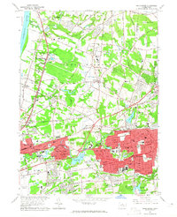 1963 Manchester1965 Print · USGSHartford County's eastern suburbs were in a period of rapid growth during the early sixties, as seen in this survey of Manchester and South Windsor. Researchers can locate family landmarks such as St James Cemetery, Mayberry Village, and Wapping Sch.5 unique versions available
 - 1965 Map of Hartford
 1965 Hartford1965 Print · USGSSouthern New England and the Hudson Valley are shown here during the mid-sixties expansion of the Interstate era. Trace the path of the New York New Haven & Hartford RR or locate historic landmarks like West Point Military Reservation and the Merritt Parkway.2 unique versions available
 - 1967 Map of Rockville, 1969 Print
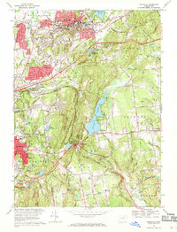 1967 Rockville1969 Print · USGSTolland and Hartford Counties are captured during a period of transition in the late sixties as suburban development meets historic mill towns. Researchers can trace ancestral roots at St Bernards Cem or follow the old rail lines through Bolton Notch and past Paper Mill Pond.5 unique versions available
 - 1986 Map of Hartford
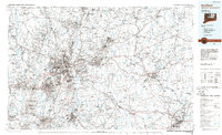 1986 Hartford1986 Print · USGSCentral Connecticut and the surrounding highlands were undergoing significant suburban growth and industrial transition during the mid-eighties. Researchers can trace the layout of regional landmarks including Bradley International Airport, the University of Connecticut, and the historic State Capitol.
 - 1994 Map of Hartford, 1995 Print
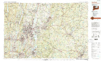 1994 Hartford1995 Print · USGSGreater Hartford and the Connecticut River Valley are captured here in the mid-nineties, showing the dense intersection of industry and academia. Trace the urban footprint of the State Capitol and Trinity College or locate the sprawling grounds of the University of Connecticut.2 unique versions available
 - 2012 Map of Rockville, 2012 Print
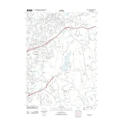 2012 Rockville2012 Print · USGSThe Tolland County hills reveal a landscape of river-powered mill towns and historic burial grounds during the early twenty-first century. Genealogists can trace family names at South Street Cem and Elmwood Cem while mapping the waters of the Hockanum River.
 - 2012 Map of Manchester, 2012 Print
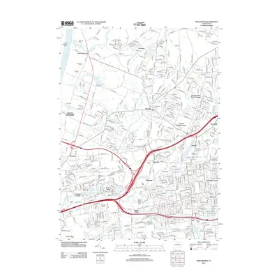 2012 Manchester2012 Print · USGSManchester and South Windsor are shown here in the early 21st century as a complex landscape of historical industrial sites and growing residential communities. Researchers can trace local heritage through the Cheney Mill Complex, numerous parish cemeteries like Saint Johns Cem, and local landmarks like Mount Nebo.
 - 2015 Map of Manchester, 2015 Print
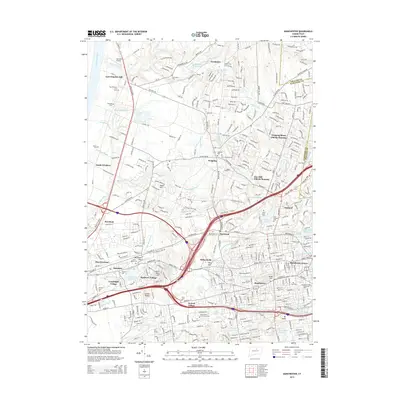 2015 Manchester2015 Print · USGSManchester and South Windsor appear here in a period of significant suburban density and academic growth. Researchers can trace family sites near Saint Johns Cemetery, locate Bancroft Airport, or study the industrial waters of Union Pond and Wetherell Pond.
 - 2015 Map of Rockville, 2015 Print
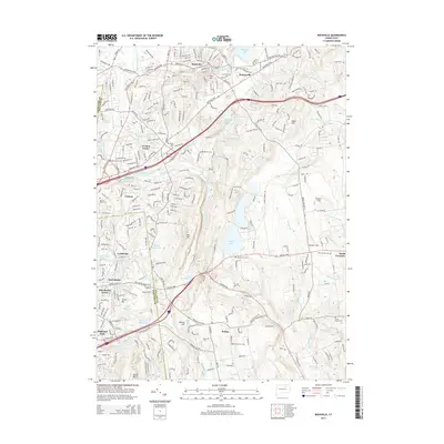 2015 Rockville2015 Print · USGSThe Tolland County hills and industrial valleys of north-central Connecticut are mapped here in the mid-2010s. Researchers can trace family history through numerous burial sites like Grove Hill Cem or explore the hydrography of Shenipsit Lake and Railroad Brook.
 - 2018 Map of Rockville, 2018 Print
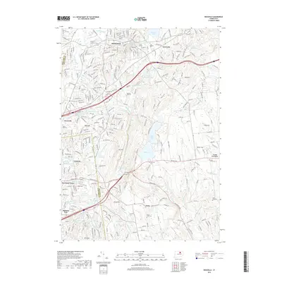 2018 Rockville2018 Print · USGSRockville and the surrounding Tolland County hills appear in detail during this modern survey. Genealogists and historians can trace family plots at Grove Hill Cem and South Street Cem or locate local landmarks like Heckler Field and Talcottville.
 - 2018 Map of Manchester, 2018 Print
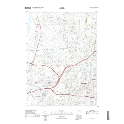 2018 Manchester2018 Print · USGSManchester and East Hartford are shown in great detail during the late twenty-tens, capturing the region's dense suburban and industrial evolution. Researchers can trace local heritage through numerous sites including Manchester Community College, Old Wapping Cem, and the Bancroft Airport.
 - 2021 Map of Rockville, 2021 Print
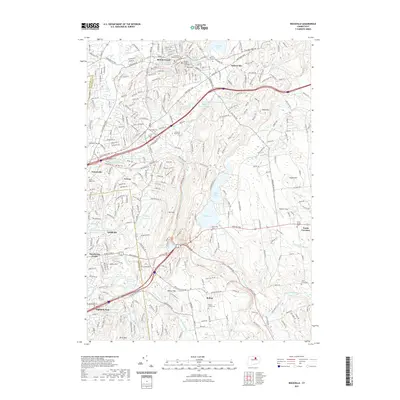 2021 Rockville2021 Print · USGSThe industrial and judicial hub of Rockville is shown here alongside its neighboring mill towns in the twenty-first century. Researchers can trace local lineage through numerous sites like Grove Hill Cem and the Tolland County Courthouse.
Showing maps 1-25 of 28
Top cities near Vernon
- Hartford historical maps
- Manchester historical maps
- East Hartford historical maps
- Enfield historical maps
- Glastonbury historical maps
- Windsor historical maps
See more
Top neighborhoods of Vernon
Frequently asked questions
- What are the different types of historical maps available for Vernon?
- What is the oldest map of Vernon?
- Where can I purchase historical maps of Vernon for my home or office?
- Where can I download high-res historical maps of Vernon?
- Are there historical topographic maps available for Vernon?
- Is there historical aerial imagery available for Vernon?
- Where are historical maps of Vernon sourced from?