2000s (21st Century) Maps of Windsor, Connecticut
Explore 20 historic maps of Windsor from the 2000s (21st Century). These maps offer a rare glimpse into what life looked like during the 2000s — showing old roads, neighborhoods, homes, and landmarks that have changed or disappeared over time.
Whether you're researching your family's past, planning a metal detecting trip, or studying how Windsor's landscape evolved across the 2000s, these high-resolution maps are a powerful tool for exploring the history of this region.
- Focus on a specific era: All maps on this page are from the 2000s, giving you a focused view of this time period.
- See what’s changed: Compare century-old streets, trails, and buildings to today's modern landscape using overlays and satellite layers.
- Research with precision: Use these maps for genealogy, historical research, land use analysis, or educational projects.
- View, download, or print: Maps are fully viewable online in high resolution, and can be downloaded or printed for your own records.
Start exploring Windsor's history through authentic maps from the 2000s. This is your window into the past.
Windsor, CT maps
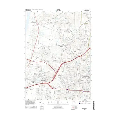
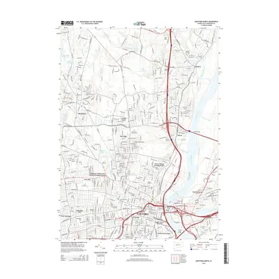
(20)- 2012 Map of Hartford North, 2012 Print
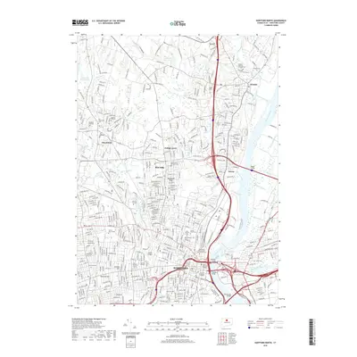
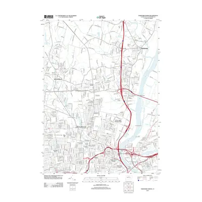 2012 Hartford North2012 Print · USGSCovers Windsor, including Hartford, West Hartford, and other nearby areas
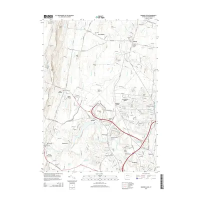
 - 2012 Map of Windsor Locks, 2012 Print
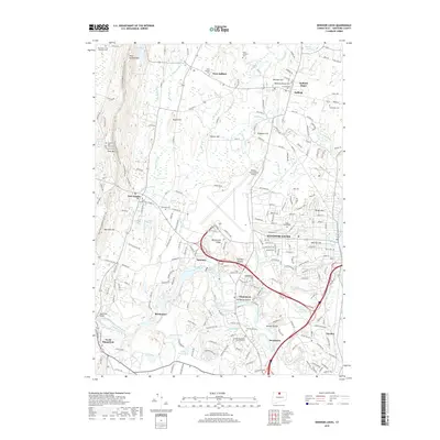
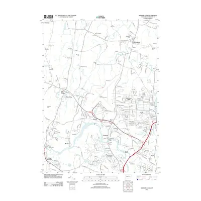 2012 Windsor Locks2012 Print · USGSCovers Windsor, including Bloomfield, Suffield, and other nearby areas
 - 2012 Map of Manchester, 2012 Print
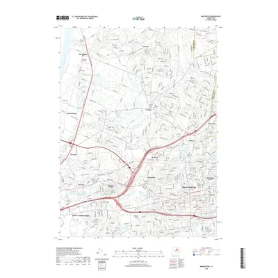
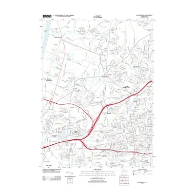 2012 Manchester2012 Print · USGSCovers Windsor, including Manchester, East Hartford, and other nearby areas
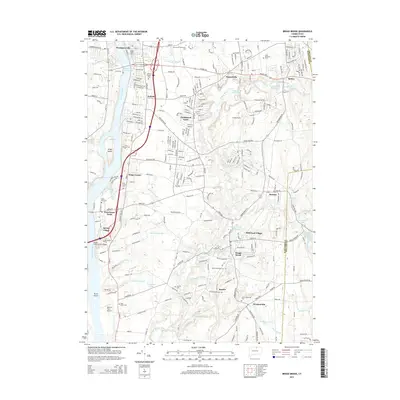
 - 2012 Map of Broad Brook, 2012 Print
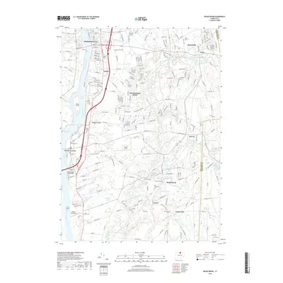
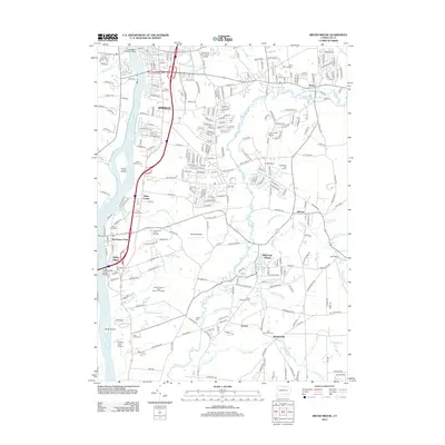 2012 Broad Brook2012 Print · USGSCovers Windsor, including Enfield, Suffield, and other nearby areas
 - 2015 Map of Manchester, 2015 Print
 2015 Manchester2015 Print · USGSCovers Windsor, including Manchester, East Hartford, and other nearby areas
 - 2015 Map of Hartford North, 2015 Print
 2015 Hartford North2015 Print · USGSCovers Windsor, including Hartford, West Hartford, and other nearby areas
 - 2015 Map of Windsor Locks, 2015 Print
 2015 Windsor Locks2015 Print · USGSCovers Windsor, including Bloomfield, Suffield, and other nearby areas
 - 2015 Map of Broad Brook, 2015 Print
 2015 Broad Brook2015 Print · USGSCovers Windsor, including Enfield, Suffield, and other nearby areas
 - 2018 Map of Manchester, 2018 Print
 2018 Manchester2018 Print · USGSCovers Windsor, including Manchester, East Hartford, and other nearby areas
 - 2018 Map of Hartford North, 2018 Print
 2018 Hartford North2018 Print · USGSCovers Windsor, including Hartford, West Hartford, and other nearby areas
 - 2018 Map of Windsor Locks, 2018 Print
 2018 Windsor Locks2018 Print · USGSCovers Windsor, including Bloomfield, Suffield, and other nearby areas
 - 2018 Map of Broad Brook, 2018 Print
 2018 Broad Brook2018 Print · USGSCovers Windsor, including Enfield, Suffield, and other nearby areas
 - 2021 Map of Windsor Locks, 2021 Print
 2021 Windsor Locks2021 Print · USGSCovers Windsor, including Bloomfield, Suffield, and other nearby areas
 - 2021 Map of Manchester, 2021 Print
 2021 Manchester2021 Print · USGSCovers Windsor, including Manchester, East Hartford, and other nearby areas
 - 2021 Map of Hartford North, 2021 Print
 2021 Hartford North2021 Print · USGSCovers Windsor, including Hartford, West Hartford, and other nearby areas
 - 2021 Map of Broad Brook, 2021 Print
 2021 Broad Brook2021 Print · USGSCovers Windsor, including Enfield, Suffield, and other nearby areas
 - 2024 Map of Broad Brook, 2024 Print
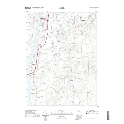
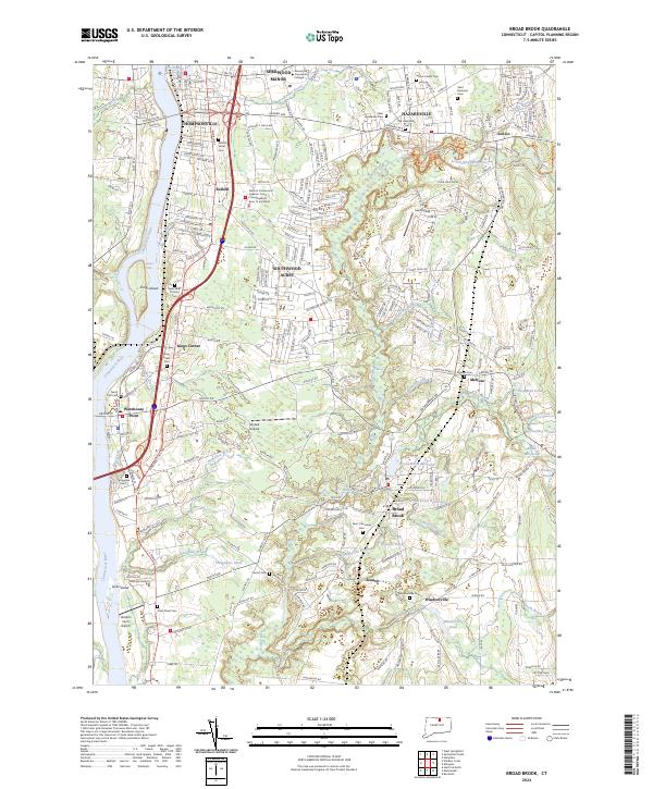 2024 Broad Brook2024 Print · USGSThe Hartford area of the mid-2020s shows a landscape of river-driven industry and growing residential suburbs. Genealogists can trace family names through numerous burial grounds like Scantic Cem and King Street Cem or explore the milling roots of Broad Brook.
 - 2024 Map of Hartford North, 2024 Print
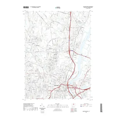
 2024 Hartford North2024 Print · USGSThe Hartford area is shown here in its modern complexity, centered on the historic river valley and the state's seat of power. Researchers can find numerous legacy sites, from the Connecticut State Capitol to historic burial grounds like Palisado Cem and Zion Hill Cem.
 - 2024 Map of Manchester, 2024 Print
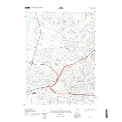
 2024 Manchester2024 Print · USGSGreater Manchester and East Hartford are shown at their modern peak of development and suburban connectivity. Genealogists and local historians can locate several burial grounds like Hillstown Cem and Saint James Cem while tracing the winding paths of Folly Brook and Dry Brook.
 - 2024 Map of Windsor Locks, 2024 Print
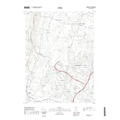
 2024 Windsor Locks2024 Print · USGSNorth-central Connecticut in the early 2020s reflects a landscape where colonial-era roots meet modern transit hubs. Researchers can trace family history at the Old Poquonock Burying Ground or explore the geography of Metacomet Ridge and Rainbow.
End of results
Showing maps 1-20 of 20
Top cities near Windsor
- Springfield historical maps
- Hartford historical maps
- New Britain historical maps
- West Hartford historical maps
- Bristol historical maps
- Manchester historical maps
See more
Top neighborhoods of Windsor
- Birchwood historical maps
- Hayden historical maps
- Wilson historical maps
- Breakneck historical maps
- Rainbow historical maps
- Poquonock historical maps
See more
Frequently asked questions
- What are the different types of historical maps available for Windsor?
- What is the oldest map of Windsor?
- Where can I purchase historical maps of Windsor for my home or office?
- Where can I download high-res historical maps of Windsor?
- Are there historical topographic maps available for Windsor?
- Is there historical aerial imagery available for Windsor?
- Where are historical maps of Windsor sourced from?