Old Maps of Chester, Connecticut for Academic Research
Study the evolution of Chester with 23 high-resolution historic maps. Whether you're teaching, researching, or modeling changes in land use, these maps provide essential visual documentation of urban, environmental, and geographic change.
- Analyze long-term change: Track patterns in development, transportation, and natural features.
- Ideal for environmental or urban studies: Support academic projects with primary historical map data.
- Use in the classroom or lab: Educators and researchers rely on these maps to bring historical context to life.
These maps are a powerful tool for teaching, research, and visualizing how Chester has changed over the decades.
Chester, CT maps
(23)- 1893 Map of Guilford
 1893 Guilford1893 Print · USGSCoastal Middlesex County comes to life in the late nineteenth century, showing the early rail-connected growth of shoreline and interior villages. Genealogists can trace family landmarks and forgotten stops like Sachems Head Station, Nut Plains, and Nineveh Falls.8 unique versions available
 - 1893 Map of Saybrook, 1898 Print
 1893 Saybrook1898 Print · USGSThe Lower Connecticut River valley in the 1890s was a bustling corridor of maritime landings and burgeoning rail junctions. Genealogists and historians can trace the foundations of Old Saybrook, the industrial roots of Ivoryton, and river landings like Goodspeed Landing.8 unique versions available
 - 1944 Map of Deep River
 1944 Deep River1944 Print · USGSMid-century Middlesex County life is centered on the Connecticut River as the region's primary artery for transport and industry. Researchers can trace the paths of the New York New Haven and Hartford Railroad and locate ancestral burial sites like Old Cove Burying Ground or the Mt Parnassus Burying Ground.2 unique versions available
 - 1947 Map of Hartford, 1955 Print
 1947 Hartford1955 Print · USGSSouthern New England and the Hudson Valley are shown in detail during the post-war expansion era. Genealogists and researchers can trace local landmarks from the State Capitol and Yale University to the Stratford Lighthouse and Woodlawn Cem.2 unique versions available
 - 1948 Map of Hartford
 1948 Hartford1948 Print · USGSSouthern New England is captured here in the late 1940s, showcasing a landscape of thriving industrial cities and developing parkways. Genealogists and historians can trace the rail networks of the New York New Haven and Hartford RR or locate coastal defense sites like Fort Terry and Camp Shanks.2 unique versions available
 - 1952 Map of Deep River, 1953 Print
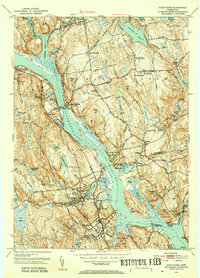 1952 Deep River1953 Print · USGSMiddlesex County life in the early fifties is centered on the river and rail lines between Moodus and Deep River. Genealogists and historians can trace family roots through numerous local landmarks like Hearse Hill Cem, Parker Cem, and Johnson Mill.3 unique versions available
 - 1952 Map of Haddam, 1954 Print
 1952 Haddam1954 Print · USGSMiddlesex County's river-and-rail landscape is captured in the early fifties before modern development reshaped these historic Connecticut valley towns. Genealogists can trace family roots through dozen of neighborhood burial grounds like Stone House Cem and Burr District Cem or locate the Haddam Neck Sch.3 unique versions available
 - 1961 Map of Hartford
 1961 Hartford1961 Print · USGSSouthern New England and the Hudson Valley are shown here in the mid-fifties, capturing a landscape of booming coastal cities and interior hill towns. Researchers can trace the legacy of the New York New Haven and Hartford rail corridor and find strategic sites like Camp Shanks and Fort Michie.
 - 1961 Map of Haddam, 1964 Print
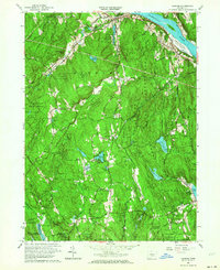 1961 Haddam1964 Print · USGSThe Lower Connecticut River Valley is shown here in the early sixties as a landscape of dense state forests and riverside hamlets. Genealogists and local historians can trace old family sites and burial grounds like Old Ponset Cem, Parker Hill Cem, and Emmanuel Ch.3 unique versions available
 - 1961 Map of Deep River, 1964 Print
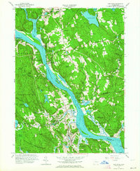 1961 Deep River1964 Print · USGSThe Connecticut River valley and its historic landings are captured here in the early sixties, showing the vital rail and river corridor. Researchers can locate numerous family burial grounds like Hearse Hill Cem and landmarks such as Gillette Castle State Park and Brockway Landing.4 unique versions available
 - 1962 Map of Hartford, 1971 Print
 1962 Hartford1971 Print · USGSSouthern New England and the Hudson Valley are shown in the early sixties, as suburban growth reached into the foothills. Trace the path of the New York New Haven & Hartford RR and find landmarks like Camp Nathan Hale and Gillette Castle State Park.3 unique versions available
 - 1965 Map of Hartford
 1965 Hartford1965 Print · USGSSouthern New England and the Hudson Valley are shown here during the mid-sixties expansion of the Interstate era. Trace the path of the New York New Haven & Hartford RR or locate historic landmarks like West Point Military Reservation and the Merritt Parkway.2 unique versions available
 - 1983 Map of New Haven, 1985 Print
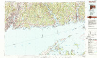 1983 New Haven1985 Print · USGSThe Connecticut shoreline and eastern Long Island are documented here in the early eighties, from the streets of New Haven to the piers of New London. Genealogists and historians can trace the geography of maritime heritage and academia at Yale University and the U.S. Coast Guard Academy.2 unique versions available
 - 2012 Map of Deep River, 2012 Print
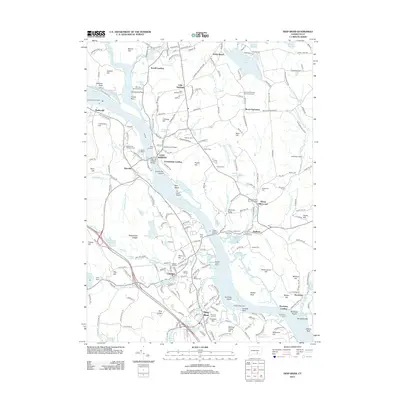 2012 Deep River2012 Print · USGSThe Lower Connecticut River Valley is captured here in the early twenty-first century, showcasing its historic riverfront settlements and deep-rooted cemeteries. Genealogists and local historians can trace family sites at Old Cove Burying Ground, Little Haddam Cem, and the river crossings at Goodspeeds Landing.
 - 2012 Map of Haddam, 2012 Print
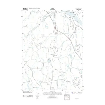 2012 Haddam2012 Print · USGSHaddam and the Connecticut River valley are shown here just after the first decade of the new millennium. Genealogists and local historians can locate several historic burial grounds like Old Rock Landing Cem and Stone House Cem, or trace the old riverfront at Warners Quarry Dock.
 - 2015 Map of Haddam, 2015 Print
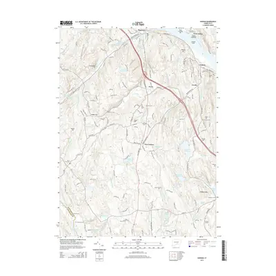 2015 Haddam2015 Print · USGSThe lower Connecticut River valley is shown here in the mid-2010s, where traditional riverfront villages meet extensive state forest lands. Genealogists and hikers can trace connections between Haddam Island and numerous local burying grounds like Old Rock Landing Cem and Parker Hill Cem.
 - 2015 Map of Deep River, 2015 Print
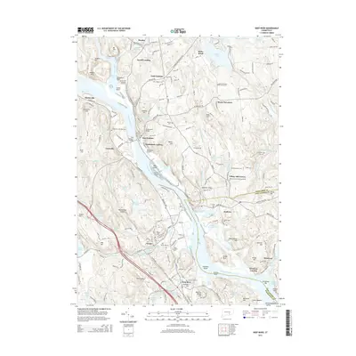 2015 Deep River2015 Print · USGSThe Lower Connecticut River Valley is captured here in the mid-2010s, showing a river-defined landscape of historic landings and burying grounds. Researchers can trace ancestral sites at Little Haddam Cem or follow the path of the Valley RR past Goodspeeds Landing.
 - 2018 Map of Deep River, 2018 Print
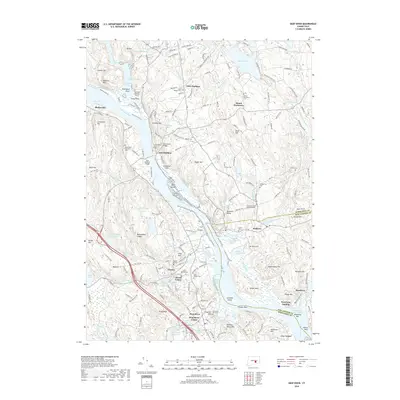 2018 Deep River2018 Print · USGSThe Lower Connecticut River Valley is shown here in the late 2010s, centering on the historic river crossings and hillside estates of the East Haddam area. Genealogists and historians can locate numerous early burial sites like Old Cove Burying Ground and trace the roads leading to Gillette Castle State Park.
 - 2018 Map of Haddam, 2018 Print
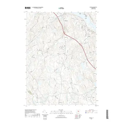 2018 Haddam2018 Print · USGSCoastal Middlesex County comes into focus in this recent survey, showing the deep-rooted settlements along the Connecticut River and its wooded interior. Researchers can trace numerous local burial sites including the Old Rock Landing Cem, Turkey Hill Cem, and Little City Cem.
 - 2021 Map of Deep River, 2021 Print
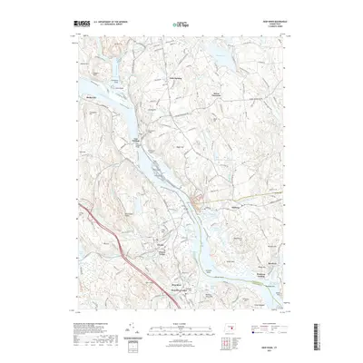 2021 Deep River2021 Print · USGSThe lower Connecticut River valley comes alive in this survey, showcasing the historic river landings and hilltop estates of the 2020s. Researchers can trace the layout of East Haddam and Deep River, or locate landmarks like Gillette Castle and Goodspeed Airport.
 - 2021 Map of Haddam, 2021 Print
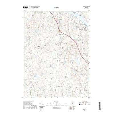 2021 Haddam2021 Print · USGSCoastal Connecticut's interior uplands come into focus in the early 2020s, showing a landscape defined by the Connecticut River and the villages of Higganum and Haddam. Researchers can trace centuries of family history through the Thirty Mile Island Plantation Burial Yard, Stone House Cem, and numerous other local cemeteries.
 - 2024 Map of Haddam, 2024 Print
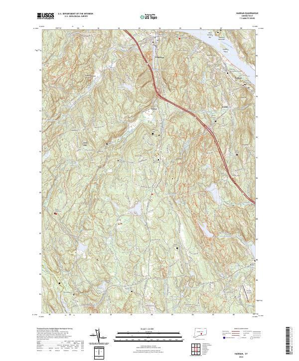 2024 Haddam2024 Print · USGSMiddlesex County's riverfront and upland settlements are documented here in the 2020s. Genealogists can locate numerous burial sites including the Thirty Mile Island Plantation Burial Yard, Stone House Cem, and Haddam Center Cem.
 - 2024 Map of Deep River, 2024 Print
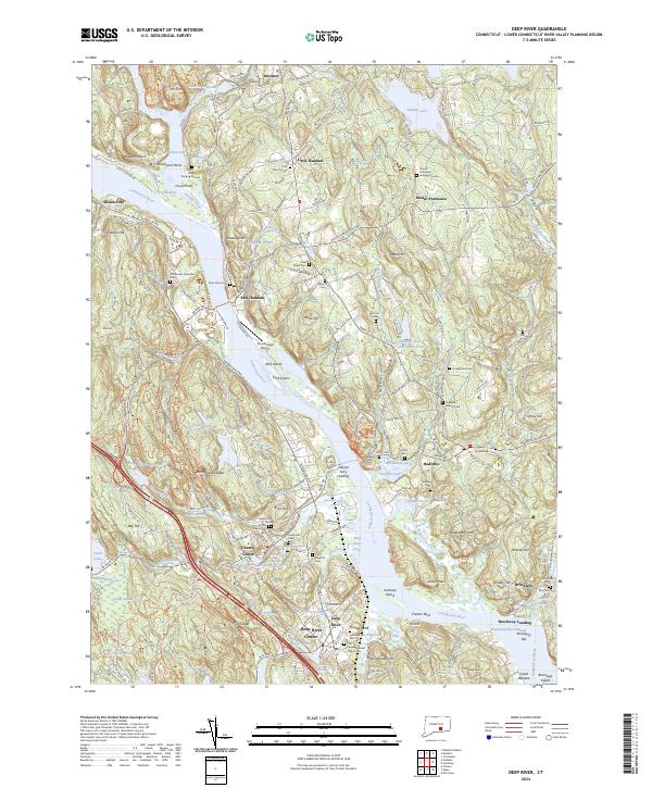 2024 Deep River2024 Print · USGSThe lower Connecticut River Valley at the turn of the millennium shows a landscape shaped by river transport and conservation. Researchers can trace historic family burial sites like Old Cove Burying Ground or locate the Valley Railroad and Chester Ferry Landing.
End of results
Showing maps 1-23 of 23
Top cities near Chester
- Middletown historical maps
- East Hampton historical maps
- Southold historical maps
- Guilford historical maps
- East Lyme historical maps
- Rocky Hill historical maps
See more
Top neighborhoods of Chester
Frequently asked questions
- What are the different types of historical maps available for Chester?
- What is the oldest map of Chester?
- Where can I purchase historical maps of Chester for my home or office?
- Where can I download high-res historical maps of Chester?
- Are there historical topographic maps available for Chester?
- Is there historical aerial imagery available for Chester?
- Where are historical maps of Chester sourced from?