2020s Maps of Northeastern Connecticut Planning Region, Connecticut
Explore 42 historic maps of Northeastern Connecticut Planning Region from the 2020s. These maps offer a rare glimpse into what life looked like during the 2020s — showing old roads, neighborhoods, homes, and landmarks that have changed or disappeared over time.
Whether you're researching your family's past, planning a metal detecting trip, or studying how Northeastern Connecticut Planning Region's landscape evolved across the 2020s, these high-resolution maps are a powerful tool for exploring the history of this region.
- Focus on a specific era: All maps on this page are from the 2020s, giving you a focused view of this time period.
- See what’s changed: Compare century-old streets, trails, and buildings to today's modern landscape using overlays and satellite layers.
- Research with precision: Use these maps for genealogy, historical research, land use analysis, or educational projects.
- View, download, or print: Maps are fully viewable online in high resolution, and can be downloaded or printed for your own records.
Start exploring Northeastern Connecticut Planning Region's history through authentic maps from the 2020s. This is your window into the past.
Northeastern Connecticut Planning Region, CT maps
(42)- 2021 Map of Jewett City, 2021 Print
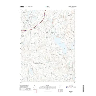 2021 Jewett City2021 Print · USGSCovers Northeastern Connecticut Planning Region, including Griswold, North Stonington, and other nearby areas
 - 2021 Map of East Killingly, 2021 Print
 2021 East Killingly2021 Print · USGSCovers Northeastern Connecticut Planning Region, including Killingly, Plainfield, and other nearby areas
 - 2021 Map of Voluntown, 2021 Print
 2021 Voluntown2021 Print · USGSCovers Northeastern Connecticut Planning Region, including Griswold, Hopkinton, and other nearby areas
 - 2021 Map of Westford, 2021 Print
 2021 Westford2021 Print · USGSCovers Northeastern Connecticut Planning Region, including Stafford, Willington, and other nearby areas
 - 2021 Map of Webster, 2021 Print
 2021 Webster2021 Print · USGSCovers Northeastern Connecticut Planning Region, including Webster, Southbridge, and other nearby areas
 - 2021 Map of Scotland, 2021 Print
 2021 Scotland2021 Print · USGSCovers Northeastern Connecticut Planning Region, including Windham, Canterbury, and other nearby areas
 - 2021 Map of Oxford, 2021 Print
 2021 Oxford2021 Print · USGSCovers Northeastern Connecticut Planning Region, including Webster, Burrillville, and other nearby areas
 - 2021 Map of Plainfield, 2021 Print
 2021 Plainfield2021 Print · USGSCovers Northeastern Connecticut Planning Region, including Plainfield, Griswold, and other nearby areas
 - 2021 Map of Eastford, 2021 Print
 2021 Eastford2021 Print · USGSCovers Northeastern Connecticut Planning Region, including Woodstock, Pomfret, and other nearby areas
 - 2021 Map of Spring Hill, 2021 Print
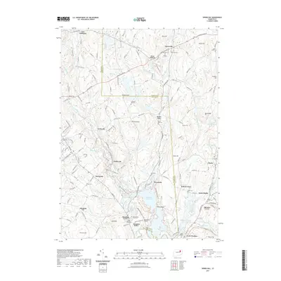 2021 Spring Hill2021 Print · USGSCovers Northeastern Connecticut Planning Region, including Mansfield, Windham, and other nearby areas
 - 2021 Map of Willimantic, 2021 Print
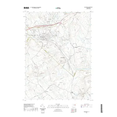 2021 Willimantic2021 Print · USGSCovers Northeastern Connecticut Planning Region, including Mansfield, Windham, and other nearby areas
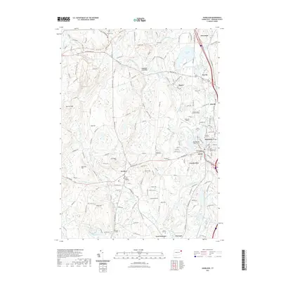
 - 2021 Map of Hampton, 2021 Print
 2021 Hampton2021 Print · USGSCovers Northeastern Connecticut Planning Region, including Brooklyn, Canterbury, and other nearby areas
 - 2021 Map of Putnam, 2021 Print
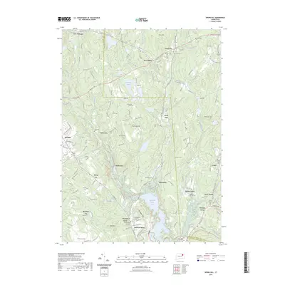
 2021 Putnam2021 Print · USGSCovers Northeastern Connecticut Planning Region, including Killingly, Thompson, and other nearby areas
 - 2021 Map of Oneco, 2021 Print
 2021 Oneco2021 Print · USGSCovers Northeastern Connecticut Planning Region, including Coventry, Plainfield, and other nearby areas
 - 2021 Map of Thompson, 2021 Print
 2021 Thompson2021 Print · USGSCovers Northeastern Connecticut Planning Region, including Killingly, Burrillville, and other nearby areas
 - 2021 Map of Danielson, 2021 Print
 2021 Danielson2021 Print · USGSCovers Northeastern Connecticut Planning Region, including Killingly, Plainfield, and other nearby areas
 - 2021 Map of Southbridge, 2021 Print
 2021 Southbridge2021 Print · USGSCovers Northeastern Connecticut Planning Region, including Southbridge, Charlton, and other nearby areas
 - 2021 Map of Wales, 2021 Print
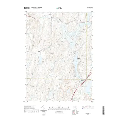 2021 Wales2021 Print · USGSCovers Northeastern Connecticut Planning Region, including Stafford, Sturbridge, and other nearby areas
 - 2023 Map of Danielson, 2023 Print
 2023 Danielson2023 Print · USGSCovers Northeastern Connecticut Planning Region, including Killingly, Plainfield, and other nearby areas
 - 2023 Map of Spring Hill, 2023 Print
 2023 Spring Hill2023 Print · USGSCovers Northeastern Connecticut Planning Region, including Mansfield, Windham, and other nearby areas
 - 2023 Map of East Killingly, 2023 Print
 2023 East Killingly2023 Print · USGSCovers Northeastern Connecticut Planning Region, including Killingly, Plainfield, and other nearby areas
 - 2023 Map of Plainfield, 2023 Print
 2023 Plainfield2023 Print · USGSCovers Northeastern Connecticut Planning Region, including Plainfield, Griswold, and other nearby areas
 - 2023 Map of Westford, 2023 Print
 2023 Westford2023 Print · USGSCovers Northeastern Connecticut Planning Region, including Stafford, Willington, and other nearby areas
 - 2023 Map of Oneco, 2023 Print
 2023 Oneco2023 Print · USGSCovers Northeastern Connecticut Planning Region, including Coventry, Plainfield, and other nearby areas
 - 2024 Map of Danielson, 2024 Print
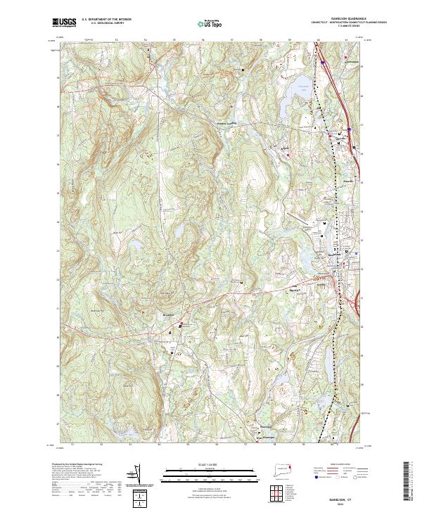 2024 Danielson2024 Print · USGSEastern Connecticut's industrial and civic landscape is charted here, centered on the river-fed villages of Danielson and Wauregan. Trace ancestral sites and local history at Old Trinity Church Cem, the Israel-Putnam Memorial, and Alexander Lake.
Showing maps 1-25 of 42
Top cities of Northeastern Connecticut Planning Region
- Killingly historical maps
- Plainfield historical maps
- Thompson historical maps
- Brooklyn historical maps
- Woodstock historical maps
- Putnam historical maps
See more
Frequently asked questions
- What are the different types of historical maps available for Northeastern Connecticut Planning Region?
- What is the oldest map of Northeastern Connecticut Planning Region?
- Where can I purchase historical maps of Northeastern Connecticut Planning Region for my home or office?
- Where can I download high-res historical maps of Northeastern Connecticut Planning Region?
- Are there historical topographic maps available for Northeastern Connecticut Planning Region?
- Is there historical aerial imagery available for Northeastern Connecticut Planning Region?
- Where are historical maps of Northeastern Connecticut Planning Region sourced from?