2000s (21st Century) Maps of Northwest Hills Planning Region, Connecticut
Explore 127 historic maps of Northwest Hills Planning Region from the 2000s (21st Century). These maps offer a rare glimpse into what life looked like during the 2000s — showing old roads, neighborhoods, homes, and landmarks that have changed or disappeared over time.
Whether you're researching your family's past, planning a metal detecting trip, or studying how Northwest Hills Planning Region's landscape evolved across the 2000s, these high-resolution maps are a powerful tool for exploring the history of this region.
- Focus on a specific era: All maps on this page are from the 2000s, giving you a focused view of this time period.
- See what’s changed: Compare century-old streets, trails, and buildings to today's modern landscape using overlays and satellite layers.
- Research with precision: Use these maps for genealogy, historical research, land use analysis, or educational projects.
- View, download, or print: Maps are fully viewable online in high resolution, and can be downloaded or printed for your own records.
Start exploring Northwest Hills Planning Region's history through authentic maps from the 2000s. This is your window into the past.
Northwest Hills Planning Region, CT maps
(127)- 2010 Map of Amenia, 2010 Print
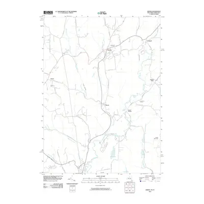 2010 Amenia2010 Print · USGSDutchess County at the start of the twenty-first century remains a landscape of valley hamlets and winding waterways. Genealogists and local historians can trace family locations from Amenia and Wassaic to smaller settlements like Lithgow and Leedsville.
- 2010 Map of Millerton, 2010 Print
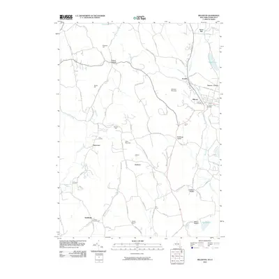 2010 Millerton2010 Print · USGSDutchess County is shown here in the early twenty-first century, capturing a landscape of rural hamlets and upland farms along the Connecticut border. Researchers can trace ancestral sites at the Smithfield Burying Grounds or locate early rail hubs at Sharon Station and Coleman Station.
- 2010 Map of Dover Plains, 2010 Print
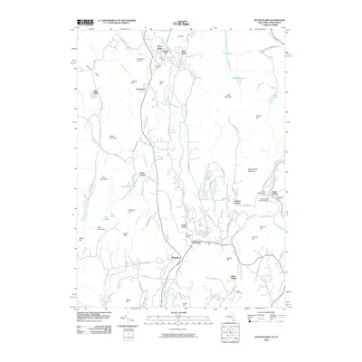 2010 Dover Plains2010 Print · USGSDutchess County and the Connecticut borderlands are captured here at the turn of the millennium, showing a valley landscape of historic hamlets and river crossings. Researchers can trace local heritage at Valley View Cemetery or locate landmarks like Dover Furnace and the Bulls Bridge Covered Bridge.
- 2010 Map of Sharon, 2010 Print
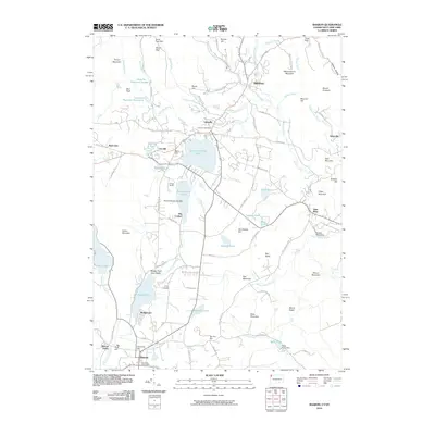 2010 Sharon2010 Print · USGSIn the Litchfield Hills at the turn of the millennium, this map documents the established villages and recreational landscape of the Connecticut border. Trace the community layout around Lakeville, locate the Memorial Clock Tower in Sharon, or explore the shores of Wononskopomuc Lake and Mudge Pond.
- 2012 Map of Torrington, 2012 Print
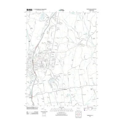 2012 Torrington2012 Print · USGSThe Litchfield Hills transition from industrial river valleys to quiet upland townships in the early twenty-first century. Researchers can locate numerous local cemeteries like Sons of Jacob Cem or trace the rural character of Meetinghouse Hill and Bakersville.
- 2012 Map of South Canaan, 2012 Print
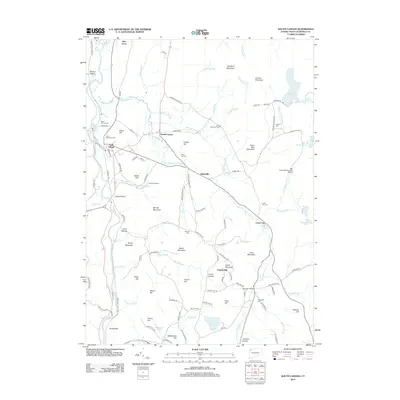 2012 South Canaan2012 Print · USGSLitchfield County's upland valleys and the Housatonic River are captured in the early 21st century. Researchers can locate the Yale University Forestry School, old family plots at Munson Cem, and the community of Falls Village.
- 2012 Map of West Torrington, 2012 Print
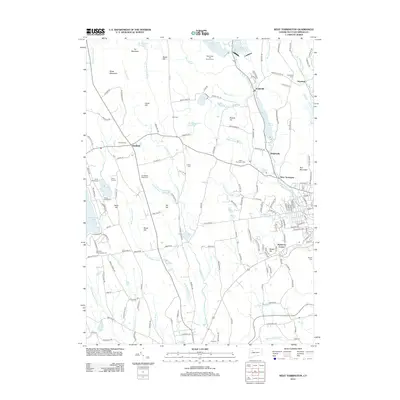 2012 West Torrington2012 Print · USGSNorthwest Connecticut in the early twenty-first century reveals a landscape shaped by high peaks and historic valley settlements. Genealogists and hikers can trace the geography of Goshen, find several family burial sites like Newfield Cem, or explore the shores of Stillwater Pond.
- 2012 Map of Winsted, 2012 Print
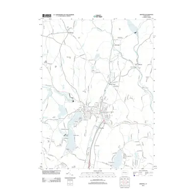 2012 Winsted2012 Print · USGSLitchfield County's varied terrain is captured here in the early twenty-first century, showing the evolved landscape of Winsted and its surrounding hills. Genealogists and hikers can trace old family plots at the Old North Road Burying Ground or locate the overlooks at Chaugham Lookout.
- 2012 Map of Norfolk, 2012 Print
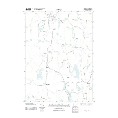 2012 Norfolk2012 Print · USGSLitchfield County's upland terrain is shown here in the early twenty-first century, featuring a landscape of mountain ridges and historic cemeteries. Genealogists can locate family sites like Hurlbut Cem or South Cem and trace old routes such as the Old Waterbury Tpke.
- 2012 Map of Cornwall, 2012 Print
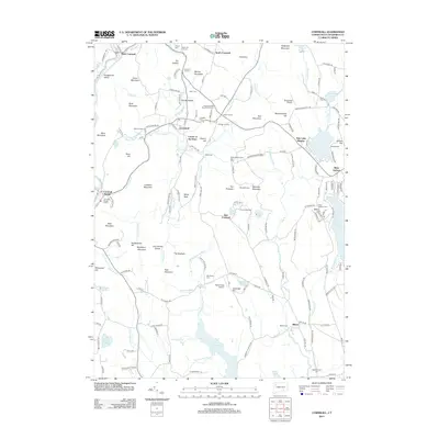 2012 Cornwall2012 Print · USGSLitchfield County's upland terrain is meticulously documented here during the early twenty-first century. Genealogists can locate family burial sites at Wright Cem and Southeast Cem, while tracing historic crossroads like Dean Corners and The Ballyhack.
- 2012 Map of Sharon, 2012 Print
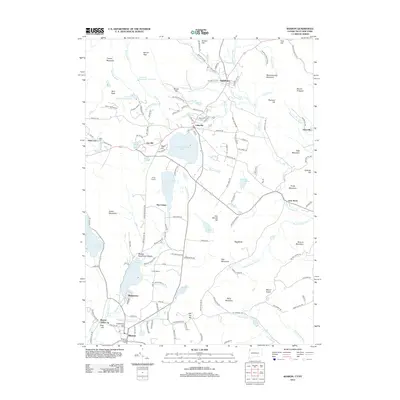 2012 Sharon2012 Print · USGSUpper Litchfield County is documented here at the turn of the decade, showing the historic iron-mining and lakeside communities of Northwest Connecticut. Genealogists and historians can trace family locations near Ore Hill, Mudgetown, and the Memorial Clock Tower in Sharon.
- 2012 Map of New Preston, 2012 Print
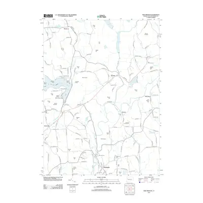 2012 New Preston2012 Print · USGSLitchfield County's upland terrain and river valleys are on display here during the early twenty-first century. Genealogists and local historians can locate Romford Cem, trace the roads around Lake Waramaug, and explore the layout of Washington Depot.
- 2012 Map of Collinsville, 2012 Print
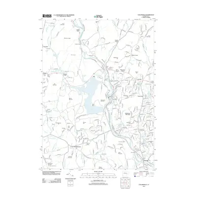 2012 Collinsville2012 Print · USGSThe Farmington River valley and its complex reservoir system appear in high detail at the start of the twenty-first century. Genealogists and historians can trace family roots through sites like Saint Patricks Cem, the old Schwartzmann Mill, and Puddle Town.
- 2012 Map of Bristol, 2012 Print
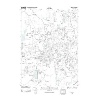 2012 Bristol2012 Print · USGSBristol and the surrounding valley appear here in the early 2010s, showing a complex landscape of industrial heritage and modern growth. Researchers can trace historic cemeteries like Saint Josephs Cem or follow the route of the New Haven and Northampton Canal.
- 2012 Map of New Hartford, 2012 Print
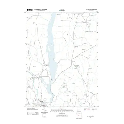 2012 New Hartford2012 Print · USGSThe northern Connecticut hills are captured here in the early twenty-first century, centered on the massive Barkhamsted Reservoir and its surrounding villages. Genealogists can trace family roots through numerous sites like Riverside Cem, Barkhamsted Center, and North Canton.
- 2012 Map of Roxbury, 2012 Print
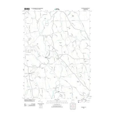 2012 Roxbury2012 Print · USGSRoxbury and the Shepaug River valley are captured here just after the turn of the millennium. Researchers can trace local genealogy and land use through features like Old Leavonworth Cem, the industrial history of Mine Hill, and the small community at Paquabaug.
- 2012 Map of Litchfield, 2012 Print
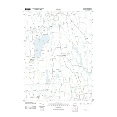 2012 Litchfield2012 Print · USGSLitchfield County's lake-centered community and agricultural roots are on display in the early twenty-first century. Family historians and local researchers can locate landmarks like the Bethlehem Fairgrounds, Haight Vineyard, and historic cemeteries such as Old Bethlehem Cem.
- 2012 Map of Kent, 2012 Print
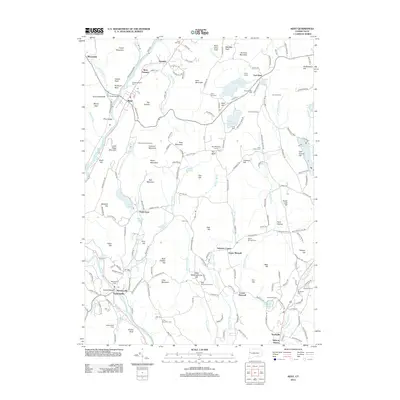 2012 Kent2012 Print · USGSWestern Connecticut's river valleys and upland ridges are captured here during the early twenty-first century as the region balanced its rural character with growing residential pockets. Genealogists can trace family names through sites like Gaylordsville Cem and Morningside Cem or locate old industrial centers like Kent Furnace.
- 2012 Map of Thomaston, 2012 Print
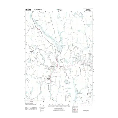 2012 Thomaston2012 Print · USGSThe Naugatuck River valley is shown here in the early twenty-first century, featuring the manufacturing centers of Thomaston and Plymouth. Researchers can trace local lineage at Hillside Cem or locate aviation landmarks like the Waterbury Airport.
- 2012 Map of Tolland Center, 2012 Print
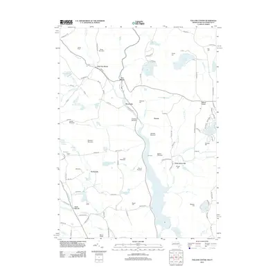 2012 Tolland Center2012 Print · USGSThe Massachusetts-Connecticut borderlands are seen here in the early twenty-first century, featuring a high-elevation landscape of reservoirs and small mountain hamlets. Genealogists and hikers can locate quiet landmarks like Roberts Cem, the village of Roosterville, and the peaks of Snow Mountain and Mount Pisgah.
- 2012 Map of Bash Bish Falls, 2012 Print
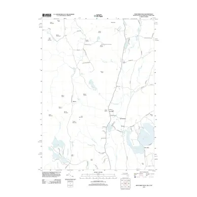 2012 Bash Bish Falls2012 Print · USGSThe tri-state border region of Massachusetts, Connecticut, and New York remains a landscape of high summits and mountain ponds in the early twenty-first century. Researchers can locate family landmarks like Churchill Cem or trace the geography of local settlements including Taconic, Hammertown, and the Twin Lakes area.
- 2012 Map of South Sandisfield, 2012 Print
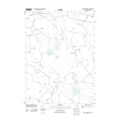 2012 South Sandisfield2012 Print · USGSThe borderlands of Massachusetts and Connecticut come into focus here during the early 2010s, showing a network of high-country villages and watershed reservoirs. Researchers can trace family sites at Palmer Cem or locate historic hubs like Southfield and Konkapot.
- 2012 Map of Southwick, 2012 Print
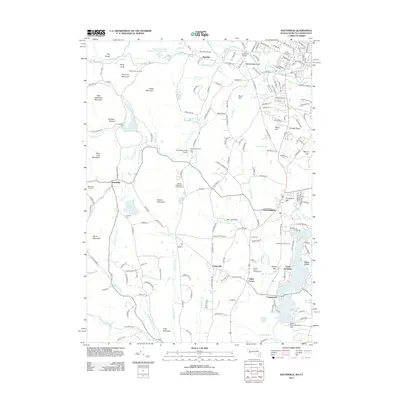 2012 Southwick2012 Print · USGSSouthwick and the surrounding Hampden County landscape are captured here just after the turn of the twenty-first century. Researchers can trace local burial sites at Northeast Cem and New Cem, or locate landmarks like Camp Berkshire and the South Pond Seaplane Base.
- 2012 Map of Ashley Falls, 2012 Print
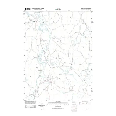 2012 Ashley Falls2012 Print · USGSThe Berkshires meet the Litchfield Hills in the early twenty-first century, showing a landscape shaped by the Housatonic River and its tributaries. Researchers can trace ancestral sites from Mill River Cemetery to the Old Covered Bridge and the village of Ashley Falls.
- 2012 Map of Ellsworth, 2012 Print
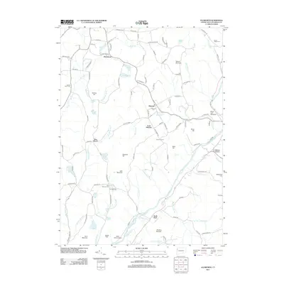 2012 Ellsworth2012 Print · USGSLitchfield County's upland farms and river valleys are captured here in the early twenty-first century. Researchers can trace historic family names and burial sites at Ellsworth Cem, Bolland District Cem, and along the ridge at Skiff Mountain.
Showing maps 1-25 of 127
Top cities of Northwest Hills Planning Region
- Torrington historical maps
- Burlington historical maps
- Litchfield historical maps
- New Hartford historical maps
- Harwinton historical maps
- Salisbury historical maps
See more
Frequently asked questions
- What are the different types of historical maps available for Northwest Hills Planning Region?
- What is the oldest map of Northwest Hills Planning Region?
- Where can I purchase historical maps of Northwest Hills Planning Region for my home or office?
- Where can I download high-res historical maps of Northwest Hills Planning Region?
- Are there historical topographic maps available for Northwest Hills Planning Region?
- Is there historical aerial imagery available for Northwest Hills Planning Region?
- Where are historical maps of Northwest Hills Planning Region sourced from?