Old Maps of Dempsey Landing, Litchfield for Metal Detecting
Plan your next treasure hunt with 17 historic maps of Dempsey Landing. Find old homesites, ghost towns, trails, and gathering spots that may be lost to time — perfect for identifying promising metal detecting locations.
- Locate forgotten sites: Uncover places like long-lost settlements, abandoned rail lines, or gathering spots.
- Plan better hunts: Use map overlays combined with LiDAR or satellite views to narrow in on historically rich areas.
- Made for detectorists: Thousands of hobbyists use these maps to discover relics, coins, and hidden history.
Use these historic maps to boost your research and find new opportunities beneath the surface of Dempsey Landing.
Dempsey Landing, Litchfield maps
(17)- 1893 Map of Waterbury
 1893 Waterbury1893 Print · USGSWestern Connecticut in the late nineteenth century was defined by the industrial pulse of the Naugatuck valley and the quiet hills to its west. Genealogists and historians can trace the early rail alignments of the Northern R. R. and locate family landmarks like White Deer Rocks or the village of Hotchkissville.2 unique versions available
 - 1904 Map of Waterbury
 1904 Waterbury1904 Print · USGSThe Naugatuck River valley's industrial peak and the surrounding Litchfield Hills are captured here at the start of the twentieth century. Researchers can trace the early rail networks of the Naugatuck Division and find old local landmarks like Reynolds Bridge, Quassapaug Pond, and Hotchkissville.8 unique versions available
 - 1904 Map of Litchfield
 1904 Litchfield1904 Print · USGSThe Litchfield Hills at the turn of the century are shown here as a landscape of iron heritage and river-powered industry. Genealogists and historians can locate old industrial sites like Kent Furnace, ancestral homes near Sharon Valley, and early rail stops at Limerock Sta..3 unique versions available
 - 1947 Map of Hartford, 1955 Print
 1947 Hartford1955 Print · USGSSouthern New England and the Hudson Valley are shown in detail during the post-war expansion era. Genealogists and researchers can trace local landmarks from the State Capitol and Yale University to the Stratford Lighthouse and Woodlawn Cem.2 unique versions available
 - 1948 Map of Hartford
 1948 Hartford1948 Print · USGSSouthern New England is captured here in the late 1940s, showcasing a landscape of thriving industrial cities and developing parkways. Genealogists and historians can trace the rail networks of the New York New Haven and Hartford RR or locate coastal defense sites like Fort Terry and Camp Shanks.2 unique versions available
 - 1950 Map of Litchfield
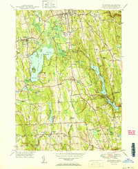 1950 Litchfield1950 Print · USGSLitchfield County's lake-and-reservoir landscape is meticulously captured here mid-century, showing the early infrastructure of the southern Berkshires. Trace the shores of Bantam Lake or locate ancestral sites like Old Bethlehem Cem and the village of East Morris.2 unique versions available
 - 1956 Map of Litchfield, 1957 Print
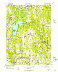 1956 Litchfield1957 Print · USGSMid-century Litchfield County is captured here during a period of steady residential and institutional growth. Researchers can trace the development of lakeside communities near Lakeside or locate ancestral sites like West Cem and Wamogo High Sch.7 unique versions available
 - 1961 Map of Hartford
 1961 Hartford1961 Print · USGSSouthern New England and the Hudson Valley are shown here in the mid-fifties, capturing a landscape of booming coastal cities and interior hill towns. Researchers can trace the legacy of the New York New Haven and Hartford rail corridor and find strategic sites like Camp Shanks and Fort Michie.
 - 1962 Map of Hartford, 1971 Print
 1962 Hartford1971 Print · USGSSouthern New England and the Hudson Valley are shown in the early sixties, as suburban growth reached into the foothills. Trace the path of the New York New Haven & Hartford RR and find landmarks like Camp Nathan Hale and Gillette Castle State Park.3 unique versions available
 - 1965 Map of Hartford
 1965 Hartford1965 Print · USGSSouthern New England and the Hudson Valley are shown here during the mid-sixties expansion of the Interstate era. Trace the path of the New York New Haven & Hartford RR or locate historic landmarks like West Point Military Reservation and the Merritt Parkway.2 unique versions available
 - 1985 Map of Waterbury, 1986 Print
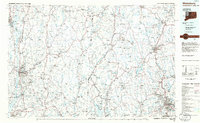 1985 Waterbury1986 Print · USGSThe Western Connecticut highlands and the Hudson Valley are captured in the mid-1980s, showing a landscape of deep forests and industrial river towns. Genealogists can trace family connections from Waterbury up through Litchfield and Torrington, while exploring the vast Barkhamsted Reservoir and Candlewood Lake basins.
 - 1993 Map of Waterbury
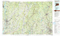 1993 Waterbury1993 Print · USGSWestern Connecticut and the Hudson Valley appear in the early nineties as a landscape of established industrial cities and deep forest preserves. Researchers can trace the rail corridors of the Metro-North Railroad or locate family sites near the Taft School and Riverside Cemetery.
 - 2012 Map of Litchfield, 2012 Print
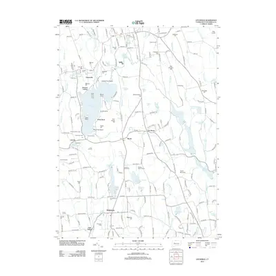 2012 Litchfield2012 Print · USGSLitchfield County's lake-centered community and agricultural roots are on display in the early twenty-first century. Family historians and local researchers can locate landmarks like the Bethlehem Fairgrounds, Haight Vineyard, and historic cemeteries such as Old Bethlehem Cem.
 - 2015 Map of Litchfield, 2015 Print
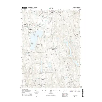 2015 Litchfield2015 Print · USGSLitchfield and Bethlehem are shown here during a period of modern conservation and quiet residential growth in the Connecticut highlands. Researchers can trace ancestral sites at Old Bethlehem Cemetery and West Cemetery or locate landmarks like Dempsey Landing and Whelan Farms Airport.
 - 2018 Map of Litchfield, 2018 Print
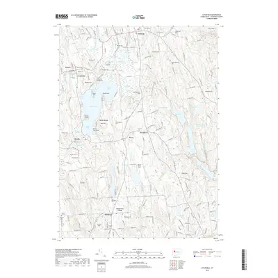 2018 Litchfield2018 Print · USGSLitchfield County's rolling highlands and prominent glacial lakes are captured here during the late 2010s. Researchers can locate family heritage sites at Old Bethlehem Cem or Bantam Cem, and trace the development around Bantam Lake and Bethlehem Village.
 - 2021 Map of Litchfield, 2021 Print
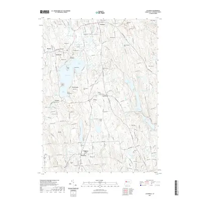 2021 Litchfield2021 Print · USGSLitchfield County's rolling landscape is captured here in the early twenty-first century, centered on the waters of Bantam Lake. Genealogists and local historians can trace family plots at Old Bethlehem Cem or Bantam Cem and locate landmarks like Deer Island and Thomson Field.
 - 2024 Map of Litchfield, 2024 Print
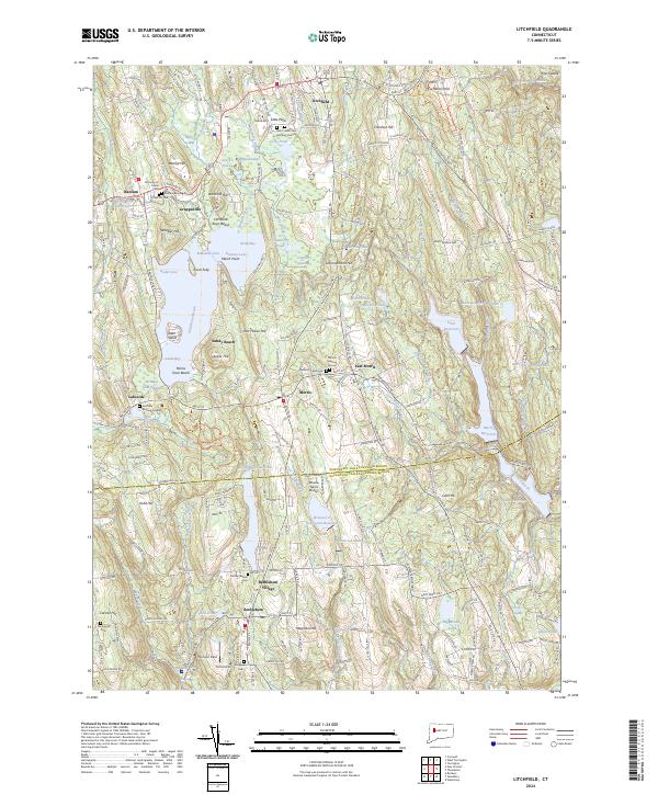 2024 Litchfield2024 Print · USGSLitchfield and Bethlehem anchor this Connecticut landscape in the mid-2020s, showing a region defined by its historic villages and glacial lakes. Local historians can trace ancestral sites at Bantam Burying Ground and Footville Burying Ground, or locate small landmarks like Whelan Farms Airport.
End of results
Showing maps 1-17 of 17
Top cities near Dempsey Landing
- Waterbury historical maps
- Torrington historical maps
- Naugatuck historical maps
- Watertown historical maps
- Southbury historical maps
- Brookfield historical maps
See more
Frequently asked questions
- What are the different types of historical maps available for Dempsey Landing?
- What is the oldest map of Dempsey Landing?
- Where can I purchase historical maps of Dempsey Landing for my home or office?
- Where can I download high-res historical maps of Dempsey Landing?
- Are there historical topographic maps available for Dempsey Landing?
- Is there historical aerial imagery available for Dempsey Landing?
- Where are historical maps of Dempsey Landing sourced from?