2020s Maps of Meriden, Connecticut
Explore 8 historic maps of Meriden from the 2020s. These maps offer a rare glimpse into what life looked like during the 2020s — showing old roads, neighborhoods, homes, and landmarks that have changed or disappeared over time.
Whether you're researching your family's past, planning a metal detecting trip, or studying how Meriden's landscape evolved across the 2020s, these high-resolution maps are a powerful tool for exploring the history of this region.
- Focus on a specific era: All maps on this page are from the 2020s, giving you a focused view of this time period.
- See what’s changed: Compare century-old streets, trails, and buildings to today's modern landscape using overlays and satellite layers.
- Research with precision: Use these maps for genealogy, historical research, land use analysis, or educational projects.
- View, download, or print: Maps are fully viewable online in high resolution, and can be downloaded or printed for your own records.
Start exploring Meriden's history through authentic maps from the 2020s. This is your window into the past.
Meriden, CT maps
(8)- 2021 Map of Wallingford, 2021 Print
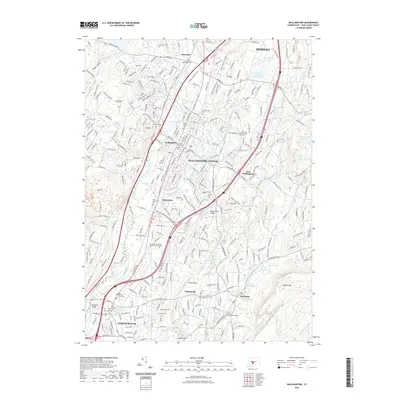 2021 Wallingford2021 Print · USGSCovers Meriden, including Hamden, Wallingford, and other nearby areas
 - 2021 Map of Durham, 2021 Print
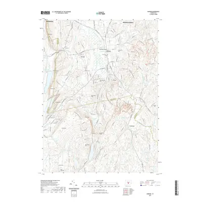 2021 Durham2021 Print · USGSCovers Meriden, including Middletown, Wallingford, and other nearby areas
 - 2021 Map of Middletown, 2021 Print
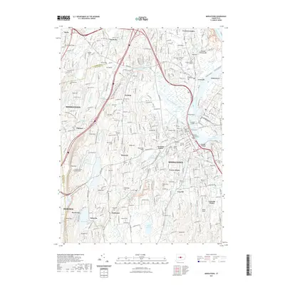 2021 Middletown2021 Print · USGSCovers Meriden, including Middletown, Berlin, and other nearby areas
 - 2021 Map of Meriden, 2021 Print
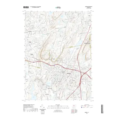 2021 Meriden2021 Print · USGSCovers Meriden, including Middletown, Wallingford, and other nearby areas
 - 2024 Map of Meriden, 2024 Print
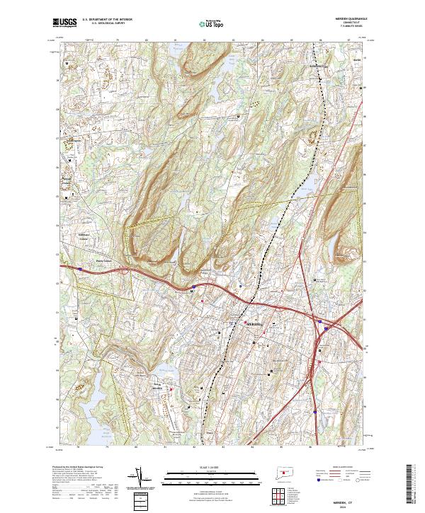 2024 Meriden2024 Print · USGSThe industrial heart of central Connecticut and its iconic traprock ridges are captured here in meticulous detail. Researchers can trace ancestral sites at Walnut Grove Cem, follow the Amtrak corridor, or explore the peaks of West Peak and Chauncey Peak.
 - 2024 Map of Wallingford, 2024 Print
 2024 Wallingford2024 Print · USGSNew Haven County at the start of the 2020s shows a landscape where industrial river valleys meet high ridges. Researchers can trace historic burial sites like the Northford Old Cem or locate the Quinnipiac University North Haven Campus and Metacomet Ridge.
 - 2024 Map of Middletown, 2024 Print
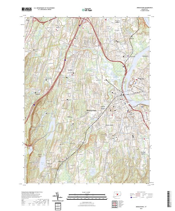 2024 Middletown2024 Print · USGSMiddletown and the Connecticut River valley are documented here in the early twenty-first century, showing the integration of historic centers with modern institutions. Researchers can trace local lineage through several sites including Indian Hill Cem, the Industrial School For Girls, and Old South Hill.
 - 2024 Map of Durham, 2024 Print
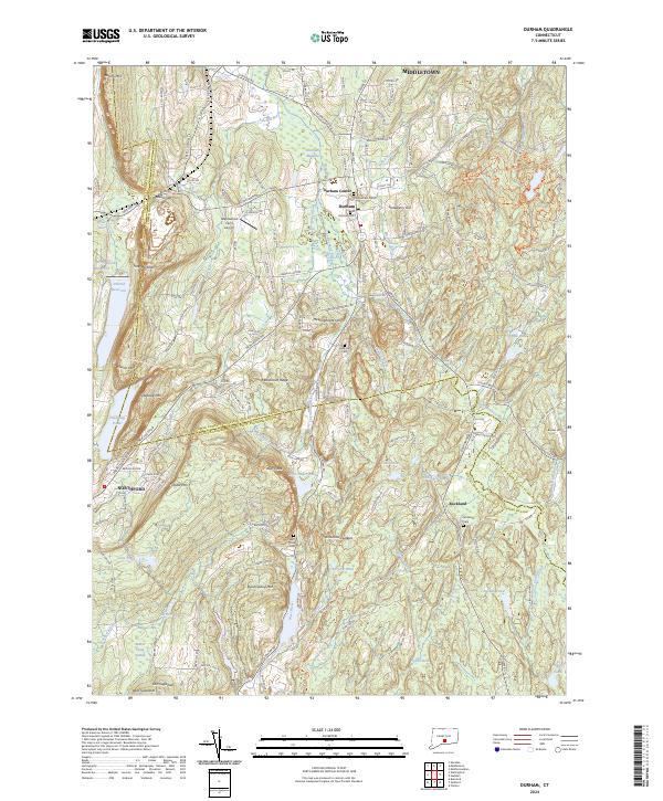 2024 Durham2024 Print · USGSMiddlesex County's highland ridges and river valleys are captured here as they appeared in 2024. Genealogists and local historians can trace family ties through several burial grounds, including Old Durham Cem, or locate landmarks like Maplewood Farm Airport and Bluff Head.
End of results
Showing maps 1-8 of 8
Top cities near Meriden
- Hartford historical maps
- New Haven historical maps
- Waterbury historical maps
- New Britain historical maps
- West Hartford historical maps
- Bristol historical maps
See more
Top neighborhoods of Meriden
Frequently asked questions
- What are the different types of historical maps available for Meriden?
- What is the oldest map of Meriden?
- Where can I purchase historical maps of Meriden for my home or office?
- Where can I download high-res historical maps of Meriden?
- Are there historical topographic maps available for Meriden?
- Is there historical aerial imagery available for Meriden?
- Where are historical maps of Meriden sourced from?