2000s (21st Century) Maps of Milford, Connecticut
Explore 15 historic maps of Milford from the 2000s (21st Century). These maps offer a rare glimpse into what life looked like during the 2000s — showing old roads, neighborhoods, homes, and landmarks that have changed or disappeared over time.
Whether you're researching your family's past, planning a metal detecting trip, or studying how Milford's landscape evolved across the 2000s, these high-resolution maps are a powerful tool for exploring the history of this region.
- Focus on a specific era: All maps on this page are from the 2000s, giving you a focused view of this time period.
- See what’s changed: Compare century-old streets, trails, and buildings to today's modern landscape using overlays and satellite layers.
- Research with precision: Use these maps for genealogy, historical research, land use analysis, or educational projects.
- View, download, or print: Maps are fully viewable online in high resolution, and can be downloaded or printed for your own records.
Start exploring Milford's history through authentic maps from the 2000s. This is your window into the past.
Milford, CT maps
(15)- 2012 Map of Milford, 2012 Print
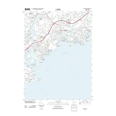 2012 Milford2012 Print · USGSCovers Milford, including Stratford, Orange, and other nearby areas
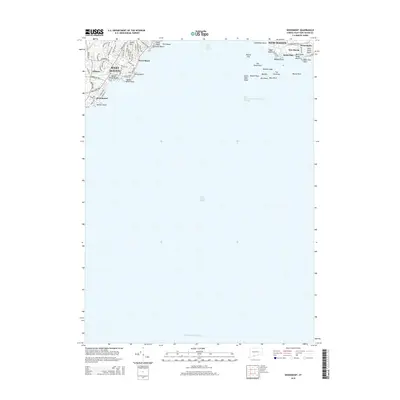
 - 2012 Map of Woodmont, 2012 Print
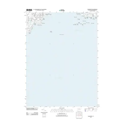 2012 Woodmont2012 Print · USGSCovers Milford, including New Haven, West Haven, and other nearby areas
 - 2012 Map of Ansonia, 2012 Print
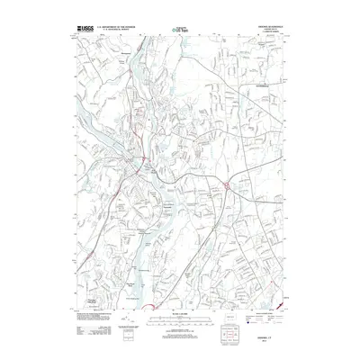 2012 Ansonia2012 Print · USGSCovers Milford, including Stratford, Shelton, and other nearby areas
 - 2015 Map of Woodmont, 2015 Print
 2015 Woodmont2015 Print · USGSCovers Milford, including New Haven, West Haven, and other nearby areas
 - 2015 Map of Milford, 2015 Print
 2015 Milford2015 Print · USGSCovers Milford, including Stratford, Orange, and other nearby areas
 - 2015 Map of Ansonia, 2015 Print
 2015 Ansonia2015 Print · USGSCovers Milford, including Stratford, Shelton, and other nearby areas
 - 2018 Map of Ansonia, 2018 Print
 2018 Ansonia2018 Print · USGSCovers Milford, including Stratford, Shelton, and other nearby areas
 - 2018 Map of Milford, 2018 Print
 2018 Milford2018 Print · USGSCovers Milford, including Stratford, Orange, and other nearby areas
 - 2018 Map of Woodmont, 2018 Print
 2018 Woodmont2018 Print · USGSCovers Milford, including New Haven, West Haven, and other nearby areas
 - 2021 Map of Milford, 2021 Print
 2021 Milford2021 Print · USGSCovers Milford, including Stratford, Orange, and other nearby areas
 - 2021 Map of Ansonia, 2021 Print
 2021 Ansonia2021 Print · USGSCovers Milford, including Stratford, Shelton, and other nearby areas
 - 2021 Map of Woodmont, 2021 Print
 2021 Woodmont2021 Print · USGSCovers Milford, including New Haven, West Haven, and other nearby areas
 - 2024 Map of Ansonia, 2024 Print
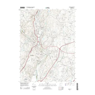
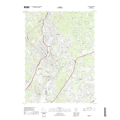
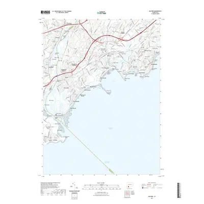
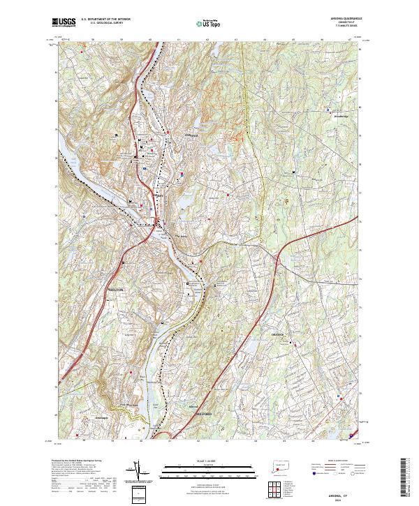 2024 Ansonia2024 Print · USGSThe industrial river valleys of New Haven County are shown in detail as they appear today, centered on the historic confluence at Derby and Ansonia. Genealogists can trace deep local roots at the Old Derby Uptown Burying Ground and the Three Saints Russian Orthodox Cem.
 - 2024 Map of Milford, 2024 Print
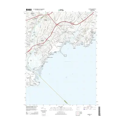
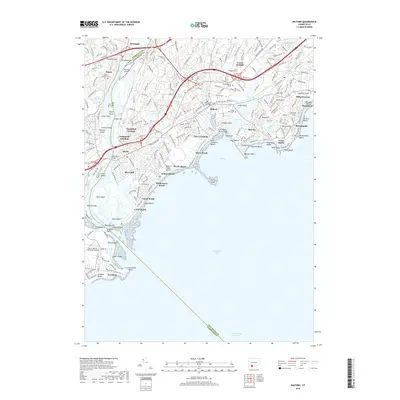
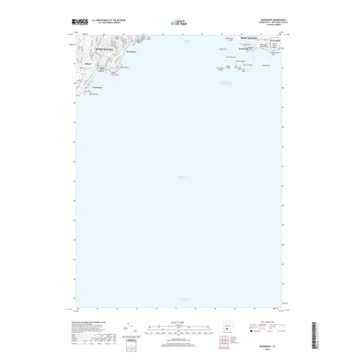
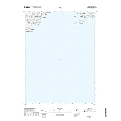
 2024 Milford2024 Print · USGSModern-day Milford and Stratford sit at the mouth of the Housatonic River in this contemporary survey of the Connecticut coast. Genealogists and historians can trace shoreline developments and family markers at Milford Cem, Fort Trumbull, and Lordship.
 - 2024 Map of Woodmont, 2024 Print
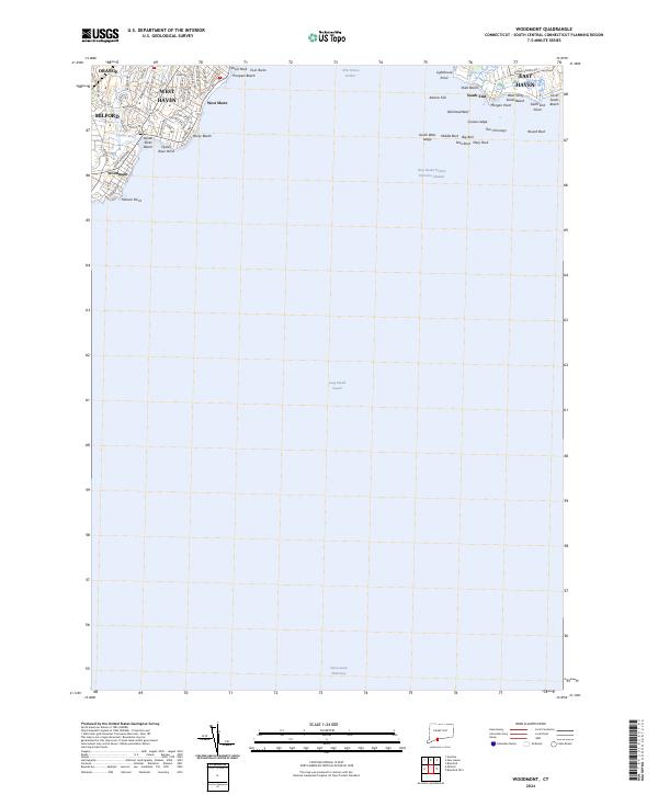 2024 Woodmont2024 Print · USGSThe Connecticut shoreline at the mouth of New Haven Harbor comes alive on this modern survey of established coastal communities. Trace the residential growth and seaside landmarks from Woodmont and West Shore to the rocky outcrops of Morgan Point and Lighthouse Point.
End of results
Showing maps 1-15 of 15
Top cities near Milford
- Brookhaven historical maps
- Bridgeport historical maps
- New Haven historical maps
- Smithtown historical maps
- Hamden historical maps
- Fairfield historical maps
See more
Top neighborhoods of Milford
- Milford Lawns historical maps
- Morningside historical maps
- Myrtle Beach historical maps
- Rivercliff historical maps
- Silver Beach historical maps
- Walnut Beach historical maps
See more
Frequently asked questions
- What are the different types of historical maps available for Milford?
- What is the oldest map of Milford?
- Where can I purchase historical maps of Milford for my home or office?
- Where can I download high-res historical maps of Milford?
- Are there historical topographic maps available for Milford?
- Is there historical aerial imagery available for Milford?
- Where are historical maps of Milford sourced from?