2010s Maps of Woodbridge, Connecticut
Explore 12 historic maps of Woodbridge from the 2010s. These maps offer a rare glimpse into what life looked like during the 2010s — showing old roads, neighborhoods, homes, and landmarks that have changed or disappeared over time.
Whether you're researching your family's past, planning a metal detecting trip, or studying how Woodbridge's landscape evolved across the 2010s, these high-resolution maps are a powerful tool for exploring the history of this region.
- Focus on a specific era: All maps on this page are from the 2010s, giving you a focused view of this time period.
- See what’s changed: Compare century-old streets, trails, and buildings to today's modern landscape using overlays and satellite layers.
- Research with precision: Use these maps for genealogy, historical research, land use analysis, or educational projects.
- View, download, or print: Maps are fully viewable online in high resolution, and can be downloaded or printed for your own records.
Start exploring Woodbridge's history through authentic maps from the 2010s. This is your window into the past.
Woodbridge, CT maps
(12)- 2012 Map of Naugatuck, 2012 Print
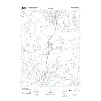 2012 Naugatuck2012 Print · USGSThe industrial Naugatuck Valley is captured here in the early twenty-first century, showing the enduring rail-and-river corridor through Seymour and Beacon Falls. Local historians can trace family locations near numerous burial sites like Salem Bridge Cem or landmarks such as Rock Rimmon and Paynes Corners.
 - 2012 Map of Ansonia, 2012 Print
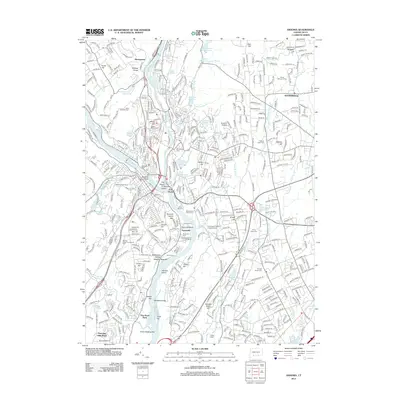 2012 Ansonia2012 Print · USGSThe Naugatuck and Housatonic river valleys are captured here at the start of the 2010s, showing a landscape defined by its industrial roots and modern suburban growth. Genealogists can trace family names across a dozen local burial grounds, including Saint Michaels Cem and the Oak Cliff Cem.
 - 2012 Map of Mount Carmel, 2012 Print
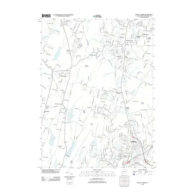 2012 Mount Carmel2012 Print · USGSHamden and Bethany are shown in detail during the early 21st century, where industrial history and university expansion meet the ridge-and-valley landscape. Genealogists can trace early families at the Central Burying Grounds and Old Bethany Cem near West Rock Ridge.
 - 2012 Map of New Haven, 2012 Print
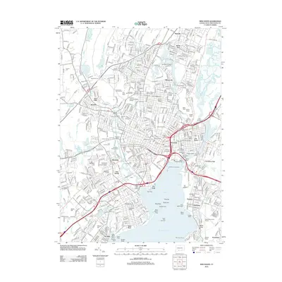 2012 New Haven2012 Print · USGSNew Haven and its harbor appear here in the early 21st century, showing the established urban core alongside its famous geologic ridges. Researchers can trace the layout of Yale University, locate family sites in Evergreen Cem, or study the maritime landmarks of Long Island Sound.
 - 2015 Map of Naugatuck, 2015 Print
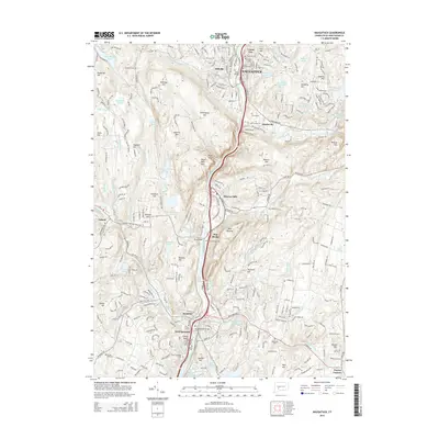 2015 Naugatuck2015 Print · USGSThe Naugatuck Valley in the mid-2010s shows a landscape of river-oriented industry and transit through the hills of New Haven County. Researchers can trace historic burial sites like Hillside Cem and landmarks such as Rock Rimmon and the Salem Bridge.
 - 2015 Map of Mount Carmel, 2015 Print
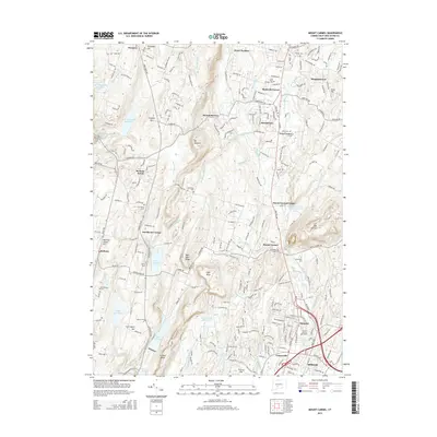 2015 Mount Carmel2015 Print · USGSThe valleys and ridges of South Central Connecticut are shown here in the mid-2010s, centered on the corridor between Bethany and Hamden. Genealogists and local historians can trace legacy sites like the Central Burying Grounds, the Old Mill, and Quinnipiac University.
 - 2015 Map of New Haven, 2015 Print
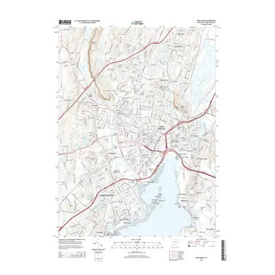 2015 New Haven2015 Print · USGSNew Haven and the surrounding coast are shown in high detail during the mid-2010s, capturing the dense urban grid alongside the waters of Long Island Sound. Researchers can trace institutional boundaries at Yale Univ, locate historic graves at Grove Street Cem, or explore the unique transit corridor of the West Rock Tunnel.
 - 2015 Map of Ansonia, 2015 Print
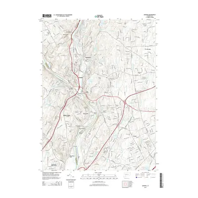 2015 Ansonia2015 Print · USGSThe industrial river valleys of New Haven County come into focus during the mid-2010s, showing the dense cores of Ansonia and Derby. Researchers can trace local history through numerous sites like Saint Marys Cem, Hog Island, and Orange Center Cem.
 - 2018 Map of Naugatuck, 2018 Print
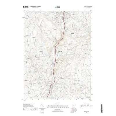 2018 Naugatuck2018 Print · USGSThe Naugatuck Valley at the dawn of the twenty-first century reveals a landscape shaped by its industrial river and steep hillsides. Genealogists and historians can locate numerous burial sites and landmarks like Hillside Cem, Salem Bridge, and the neighborhood of Success Hill.
 - 2018 Map of Ansonia, 2018 Print
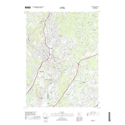 2018 Ansonia2018 Print · USGSSouth central Connecticut's river valleys appear in high detail during the late twenty-teens. Trace local family roots through numerous sites like Pine Grove Cem, Riverside Cem, or the Long Hill Cem near the Housatonic River.
 - 2018 Map of Mount Carmel, 2018 Print
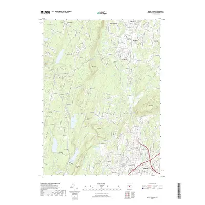 2018 Mount Carmel2018 Print · USGSHamden and Cheshire are captured here in the late 2010s, showcasing a landscape defined by significant ridges and water reservoirs. Genealogists and local historians can locate several major burial sites, including Westwoods Cem and the Central Burying Grounds.
 - 2018 Map of New Haven, 2018 Print
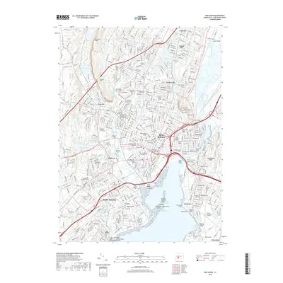 2018 New Haven2018 Print · USGSThe coastal corridor of New Haven and its surrounding harbors appear in this recent survey of Connecticut's southern shore. Researchers can trace the layout of Yale University and identify numerous family plots and historic burials at Evergreen Cemetery and Grove Street Cemetery.
End of results
Showing maps 1-12 of 12
Top cities near Woodbridge
- Bridgeport historical maps
- New Haven historical maps
- Waterbury historical maps
- Meriden historical maps
- Hamden historical maps
- Fairfield historical maps
See more
Frequently asked questions
- What are the different types of historical maps available for Woodbridge?
- What is the oldest map of Woodbridge?
- Where can I purchase historical maps of Woodbridge for my home or office?
- Where can I download high-res historical maps of Woodbridge?
- Are there historical topographic maps available for Woodbridge?
- Is there historical aerial imagery available for Woodbridge?
- Where are historical maps of Woodbridge sourced from?