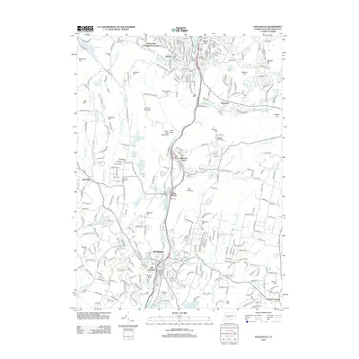
2012 Map of Naugatuck
USGS Topo · Published 2012About this map
The Naugatuck River corridor serves as the industrial and transportation spine of this region, where the Metro-North Railroad parallels the water to connect the manufacturing centers of Union City, Beacon Falls, and Seymour. This landscape is defined by its dramatic elevation changes, where high points like Rock Rimmon and Tobys Rock Mountain overlook the valley floor. The map documents a dense network of local infrastructure, including the Salem Bridge and Broad Street Bridge, which facilitate movement across the river and its numerous tributaries such as Bladens River and Little River.
Find a feature on this map
340 named features on this map. Tap any name to fly to it.
Don’t see what you’re looking for? This feature index may not catch every label — zoom into the map to look around manually.
Map Details
Editions of this 2012 Naugatuck Map
This is the sole edition of this map. No revisions or reprints were ever made.
Other maps of this area

1889 · Derby
USGS Topo · 1:62,500

1891 · Derby
USGS Topo · 1:62,500

1892 · New Haven
USGS Topo · 1:62,500

1892 · Meriden
USGS Topo · 1:62,500

1893 · Waterbury
USGS Topo · 1:62,500

1893 · Meriden
USGS Topo · 1:62,500

1893 · Derby
USGS Topo · 1:62,500

1904 · Waterbury
USGS Topo · 1:62,500

1904 · Litchfield
USGS Topo · 1:125,000

1906 · Farmington
USGS Topo · 1:125,000