Old Maps of Montville, Connecticut for Academic Research
Study the evolution of Montville with 47 high-resolution historic maps. Whether you're teaching, researching, or modeling changes in land use, these maps provide essential visual documentation of urban, environmental, and geographic change.
- Analyze long-term change: Track patterns in development, transportation, and natural features.
- Ideal for environmental or urban studies: Support academic projects with primary historical map data.
- Use in the classroom or lab: Educators and researchers rely on these maps to bring historical context to life.
These maps are a powerful tool for teaching, research, and visualizing how Montville has changed over the decades.
Montville, CT maps
(47)- 1892 Map of New London
 1892 New London1892 Print · USGSCoastal Connecticut at the close of the nineteenth century reveals a landscape defined by its deep-water harbor and expanding rail networks. Genealogists and historians can trace old property lines and neighborhoods near Ft Trumbull, Gale Ferry, and Flanders Village.
 - 1892 Map of Norwich
 1892 Norwich1892 Print · USGSEastern Connecticut's industrial heartland is documented here in the late nineteenth century, showing the critical junction of the Thames, Shetucket, and Yantic rivers. Genealogists and historians can trace the early layouts of manufacturing hubs like Norwich and Willimantic alongside smaller settlements such as Bozrahville and Versailles.8 unique versions available
 - 1893 Map of New London
 1893 New London1893 Print · USGSSoutheastern Connecticut at the height of the Victorian era centers on the busy maritime hub of New London and its strategic harbor. Genealogists can trace family holdings and early industry from Gale Ferry to Poquonoc Bridge, while rail enthusiasts can follow the Shore Line Division across the coast.10 unique versions available
 - 1921 Map of New London
 1921 New London1921 Print · USGSCoastal Connecticut thrived between the world wars as a strategic naval and rail hub. Genealogists and historians can trace the foundations of local life through the Norwich State Hospital, the sprawling US Naval Station, and small hamlets like Gales Ferry or Flanders Village.
 - 1935 Map of Montville
 1935 Montville1935 Print · USGSNew London County in the mid-thirties remains a landscape of tightly clustered villages, family-named hills, and critical water reserves. Local historians can trace early community life through sites like Chesterfield Cem, the Yale Engineering Camp, and schools such as Chapell Hill Sch and West Side Sch.
 - 1939 Map of Montville
 1939 Montville1939 Print · USGSNew London County hills and valleys were a network of small mill ponds and upland farmsteads in the mid-1930s. Genealogists can trace family names at Raymond Hill Cem or locate rural landmarks like Chapel Hill Sch and the Central Vermont RR.3 unique versions available
 - 1941 Map of Uncasville
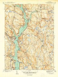 1941 Uncasville1941 Print · USGSThe Thames River corridor is captured here in the late 1930s, showing a vital mix of naval activity, collegiate rowing traditions, and old New England hamlets. Researchers can locate dozens of family cemeteries and landmarks like the Submarine Base, the Yale Boathouse, and The Ledyard Oak.2 unique versions available
 - 1943 Map of Fitchville
 1943 Fitchville1943 Print · USGSNew London County's rural townships and water-powered villages are captured here during the early years of the war. Genealogists and historians can trace family-named sites like Scott Hill Cem, the Central Vermont rail line, and numerous youth camps near Gardner Lake.3 unique versions available
 - 1945 Map of Norwich
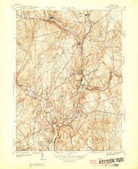 1945 Norwich1945 Print · USGSEastern Connecticut's industrial heart comes into focus during the mid-forties as the rail lines follow the winding river valleys. Genealogists can locate family sites near St Marys Cem, Elizabeth St Sch, and the old neighborhoods of Greenville.
 - 1946 Map of Norwich
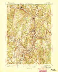 1946 Norwich1946 Print · USGSPost-war Norwich and its neighboring river towns sit at the heart of this industrial landscape during the mid-forties. Genealogists and historians can trace the growth of Taftville, the legacy of the Free Academy, and old burial sites like Yantic Cem.
 - 1947 Map of Hartford, 1955 Print
 1947 Hartford1955 Print · USGSSouthern New England and the Hudson Valley are shown in detail during the post-war expansion era. Genealogists and researchers can trace local landmarks from the State Capitol and Yale University to the Stratford Lighthouse and Woodlawn Cem.2 unique versions available
 - 1948 Map of Hartford
 1948 Hartford1948 Print · USGSSouthern New England is captured here in the late 1940s, showcasing a landscape of thriving industrial cities and developing parkways. Genealogists and historians can trace the rail networks of the New York New Haven and Hartford RR or locate coastal defense sites like Fort Terry and Camp Shanks.2 unique versions available
 - 1952 Map of Uncasville
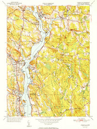 1952 Uncasville1952 Print · USGSThe Thames River corridor in the early fifties shows a fascinating mix of Ivy League rowing traditions and major state institutions. Trace family roots at Poquetanuck and Ledyard Center, or locate landmarks like the Yale Boathouse and the Norwich State Hospital.2 unique versions available
 - 1953 Map of Fitchville, 1955 Print
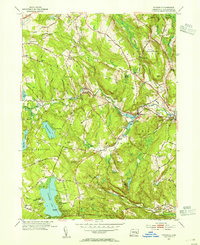 1953 Fitchville1955 Print · USGSNew London County in the early fifties maintains a landscape of river-driven industry and lakeside recreation. Researchers can trace historic turnpikes, the Central Vermont rail line, and family landmarks like Avery Corner and Scott Hill Cem.5 unique versions available
 - 1954 Map of Norwich, 1955 Print
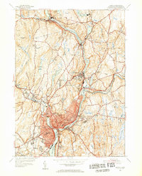 1954 Norwich1955 Print · USGSIn the mid-1950s, the industrial corridors of the Shetucket River and Quinebaug River anchored a landscape of mill towns and neighborhood schools. Trace family sites at St Marys Cem or explore rail history along the New York New Haven and Hartford.5 unique versions available
 - 1958 Map of Montville, 1959 Print
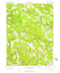 1958 Montville1959 Print · USGSMontville and East Lyme are captured during a period of steady mid-century growth along the Salem Turnpike and rural crossroads. Genealogists and historians can trace family-named landmarks and old burial sites like Whitaker Cem, Oakdale Fox Cem, and Chapel Hill.4 unique versions available
 - 1958 Map of Uncasville, 1960 Print
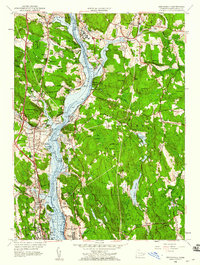 1958 Uncasville1960 Print · USGSNew London County's riverfront is captured here in the late fifties, showcasing the vital military and rail corridor along the Thames. Genealogists and historians can trace families near Uncasville, the Submarine Base, and Mohegan Ch.3 unique versions available
 - 1961 Map of Hartford
 1961 Hartford1961 Print · USGSSouthern New England and the Hudson Valley are shown here in the mid-fifties, capturing a landscape of booming coastal cities and interior hill towns. Researchers can trace the legacy of the New York New Haven and Hartford rail corridor and find strategic sites like Camp Shanks and Fort Michie.
 - 1962 Map of Hartford, 1971 Print
 1962 Hartford1971 Print · USGSSouthern New England and the Hudson Valley are shown in the early sixties, as suburban growth reached into the foothills. Trace the path of the New York New Haven & Hartford RR and find landmarks like Camp Nathan Hale and Gillette Castle State Park.3 unique versions available
 - 1965 Map of Hartford
 1965 Hartford1965 Print · USGSSouthern New England and the Hudson Valley are shown here during the mid-sixties expansion of the Interstate era. Trace the path of the New York New Haven & Hartford RR or locate historic landmarks like West Point Military Reservation and the Merritt Parkway.2 unique versions available
 - 1983 Map of Norwich
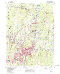 1983 Norwich1983 Print · USGSThe industrial river valleys of New London County are shown here in the early 1980s as modern infrastructure met historic mill towns. Researchers can trace family sites at Long Society Cem, locate schools like Orchard Hill Sch, or study the rail corridors of Conrail.2 unique versions available
 - 1983 Map of Montville, 1984 Print
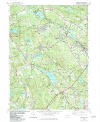 1983 Montville1984 Print · USGSNew London County's interior is captured here in the early eighties, showcasing a mix of suburban growth and traditional water-driven industry. Genealogists can trace family names across Noble Hill or Haines Hill, and locate local landmarks like Macks Mill and the Oakdale Sch.
 - 1983 Map of Fitchville, 1984 Print
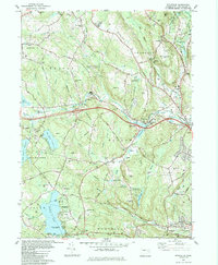 1983 Fitchville1984 Print · USGSThe rural landscapes of Bozrah and Lebanon come alive in this early 1980s survey, showing a network of historic hill settlements and river valleys. Genealogists can trace family lines through New Lebanon Cem and Bozrah Cem or locate old industrial markers like the Central Vermont railroad.
 - 1983 Map of New Haven, 1985 Print
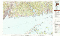 1983 New Haven1985 Print · USGSThe Connecticut shoreline and eastern Long Island are documented here in the early eighties, from the streets of New Haven to the piers of New London. Genealogists and historians can trace the geography of maritime heritage and academia at Yale University and the U.S. Coast Guard Academy.2 unique versions available
 - 1984 Map of Uncasville
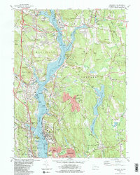 1984 Uncasville1984 Print · USGSThe Thames River valley in the early 1980s was a hub of naval and academic activity, from the USCG Academy to the U S Naval Reservation. Genealogists and historians can trace the foundations of Gales Ferry, locate dozens of burial sites like Hebrew Cem, and find landmarks like the Norwich State Hospital.2 unique versions available
Showing maps 1-25 of 47
Top cities near Montville
- Norwich historical maps
- Groton historical maps
- New London historical maps
- Windham historical maps
- Southold historical maps
- Waterford historical maps
See more
Top neighborhoods of Montville
- Oakdale historical maps
- Palmertown historical maps
- Uncasville historical maps
- Kitemaug historical maps
- Massapeag historical maps
- Chesterfield historical maps
See more
Frequently asked questions
- What are the different types of historical maps available for Montville?
- What is the oldest map of Montville?
- Where can I purchase historical maps of Montville for my home or office?
- Where can I download high-res historical maps of Montville?
- Are there historical topographic maps available for Montville?
- Is there historical aerial imagery available for Montville?
- Where are historical maps of Montville sourced from?