Old Maps of Rutledge, Bear for Hiking & Exploration
Hike through history with 24 historic maps of Rutledge. Explore old trails, ghost towns, and forgotten backroads — perfect for outdoor adventurers and local explorers.
- Rediscover forgotten places: Map out old mining camps, roads, and footpaths that no longer exist on modern maps.
- Layer with modern tools: Combine with LiDAR or satellite views to plan hikes through historical terrain.
- Made for exploration: Popular among hikers, overlanders, and local history lovers.
Use these maps to find adventure and explore the hidden past of Rutledge.
Rutledge, Bear maps
(24)- 1904 Map of Wilmington, 1961 Print
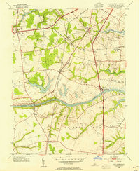
 1904 Wilmington1961 Print · USGSDelaware’s coastal industrial corridor and river defenses are captured here at the turn of the century. Genealogists and historians can trace old transit lines like the Maryland and Delaware Electric RR or locate landmarks such as Fort Delaware and Coochs Bridge.
 - 1906 Map of Wilmington
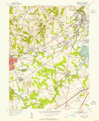
 1906 Wilmington1906 Print · USGSThe industrial waterfronts and rail hubs of northern Delaware thrive in the early twentieth century. Researchers can trace the path of the Chesapeake and Delaware Canal, find the strategic Fort Delaware, and locate old settlements like Coochs Bridge and St Georges.7 unique versions available
 - 1919 Map of Wilmington
 1919 Wilmington1919 Print · USGSNorthern Delaware and the river corridor are mapped at the close of the Great War, highlighting strategic coastal defenses and rail hubs. Genealogists can trace early landmarks like Coochs Bridge, Corner Ketch, and the defensive works at Fort Delaware.2 unique versions available
 - 1946 Map of Wilmington, 1948 Print
 1946 Wilmington1948 Print · USGSThe Delaware Valley and Jersey Shore emerge in this mid-century portrait of a region defined by river commerce and seaside growth. Genealogists and historians can trace the rail networks of the Pennsylvania Railroad, locate early airfields like Dover Airpark, and find river defenses at Fort Delaware.2 unique versions available
 - 1953 Map of Saint Georges, 1954 Print
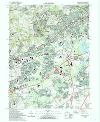
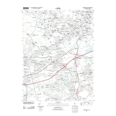
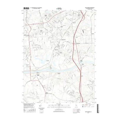
 1953 Saint Georges1954 Print · USGSMid-century New Castle County is defined here by the engineering of the Chesapeake and Delaware Canal and the primary transit corridor of the Dupont Parkway. Genealogists and local historians can trace the foundations of Saint Georges, identify family burial sites at Hickory Grove Cem, and locate former institutions like Kings College.5 unique versions available
 - 1953 Map of Newark East, 1955 Print
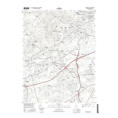
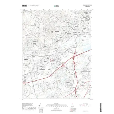
 1953 Newark East1955 Print · USGSMid-century New Castle County shows a landscape of burgeoning suburbs and deep-rooted industrial corridors. Researchers can locate family landmarks at Coochs Bridge, St James Ch, and the Delaware Park Race Track.4 unique versions available
 - 1955 Map of Wilmington
 1955 Wilmington1955 Print · USGSThe Delaware Valley and Jersey Shore are seen here during the mid-fifties era of rapid suburban expansion and highway development. You can trace the path of the New Jersey Turnpike, locate the Fort Dix Military Reservation, or explore the rail networks of the Pennsylvania Railroad.
 - 1957 Map of Wilmington
 1957 Wilmington1957 Print · USGSThe mid-Atlantic coastal plain comes alive in the mid-fifties as the New Jersey Turnpike and Garden State Parkway redefine travel. Researchers can trace the rail-to-road transition and find landmarks like Ship John Shoal Light and the Fort Dix Military Reservation.2 unique versions available
 - 1959 Map of Wilmington
 1959 Wilmington1959 Print · USGSThe Delaware Valley and Jersey Shore are seen here in the late fifties, during a period of massive suburban and highway expansion. Researchers can trace mid-century infrastructure like the N J Turnpike or locate coastal landmarks from Barnegat Bay to the Maurice River.3 unique versions available
 - 1966 Map of Wilmington, 1968 Print
 1966 Wilmington1968 Print · USGSThe Delaware Valley and Jersey Shore are seen here in the mid-1960s, documenting a landscape of dense industrial cities and emerging coastal resorts. Researchers can trace the sprawling rail networks of the Pennsylvania Railroad or locate landmarks like Fort Dix Military Reservation and Elk Neck State Park.4 unique versions available
 - 1972 Map of Wilmington, 1976 Print
 1972 Wilmington1976 Print · USGSThe Delaware Valley and Jersey Shore are seen here in the 1970s, showcasing the region's dense transport networks and vast state forests. Trace early coastal development near Atlantic City or locate rural landmarks like Mount Holly and Dover Air Force Base.2 unique versions available
 - 1984 Map of Wilmington, 1986 Print
 1984 Wilmington1986 Print · USGSThe Delaware Valley in the mid-eighties was a powerhouse of transit and industry where Delaware, New Jersey, Pennsylvania, and Maryland meet. Researchers can trace the sprawling rail networks of SEPTA and PATCO or locate historic sites like Fort Delaware State Park and Valley Forge State Forest.2 unique versions available
 - 1993 Map of Newark East
 1993 Newark East1993 Print · USGSNewark and the surrounding Delaware suburbs are captured here in the early nineties as modern residential life integrates with historic transport corridors. Researchers can locate community anchors like Delaware Park, All Saints Cemetery, and Goldey Beacom College.2 unique versions available
 - 1993 Map of Saint Georges
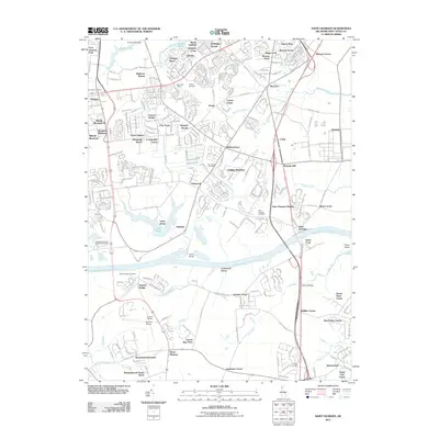
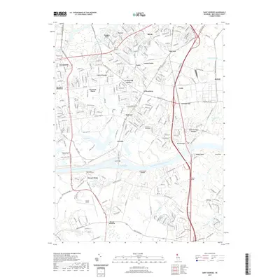
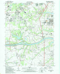 1993 Saint Georges1993 Print · USGSNew Castle County in the early nineties shows the widening contrast between its maritime industrial corridors and expanding residential suburbs. Researchers can trace historic family landmarks and rural infrastructure from Summit Bridge to the quiet Hickory Grove Cemetery and Saint Georges.
 - 2011 Map of Newark East, 2011 Print
 2011 Newark East2011 Print · USGSCovers Rutledge, including Newark, Elmwood, and other nearby areas
 - 2011 Map of Saint Georges, 2011 Print
 2011 Saint Georges2011 Print · USGSCovers Rutledge, including Dragon Run Terrace Mobile Home Park, Hickory Woods, and other nearby areas
 - 2014 Map of Saint Georges, 2014 Print
 2014 Saint Georges2014 Print · USGSCovers Rutledge, including Dragon Run Terrace Mobile Home Park, Hickory Woods, and other nearby areas
 - 2014 Map of Newark East, 2014 Print
 2014 Newark East2014 Print · USGSCovers Rutledge, including Newark, Elmwood, and other nearby areas
 - 2016 Map of Newark East, 2016 Print
 2016 Newark East2016 Print · USGSCovers Rutledge, including Newark, Elmwood, and other nearby areas
 - 2016 Map of Saint Georges, 2016 Print
 2016 Saint Georges2016 Print · USGSCovers Rutledge, including Dragon Run Terrace Mobile Home Park, Hickory Woods, and other nearby areas
 - 2019 Map of Saint Georges, 2019 Print
 2019 Saint Georges2019 Print · USGSCovers Rutledge, including Dragon Run Terrace Mobile Home Park, Hickory Woods, and other nearby areas
 - 2019 Map of Newark East, 2019 Print
 2019 Newark East2019 Print · USGSCovers Rutledge, including Newark, Elmwood, and other nearby areas
 - 2023 Map of Newark East, 2023 Print
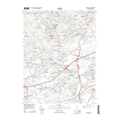
 2023 Newark East2023 Print · USGSNew Castle County at the start of the 2020s shows a mature suburban landscape defined by its historic churchyards and winding waterways. Genealogists and local researchers can locate numerous sites like the Saint James Cem, Newark Cem, and the unique Bread and Cheese Island.
 - 2023 Map of Saint Georges, 2023 Print
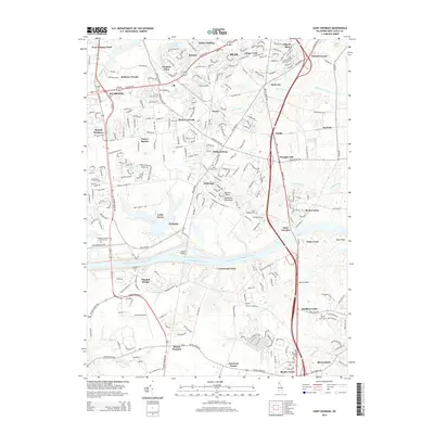
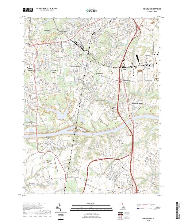 2023 Saint Georges2023 Print · USGSNew Castle County at the start of the 2020s shows the industrial legacy of the Chesapeake and Delaware Canal alongside modern suburban growth. Researchers can trace local history through the many burial sites like Hickory Grove Cem and Saint Georges Cem or explore the trails around Lums Pond.
End of results
Showing maps 1-24 of 24
Frequently asked questions
- What are the different types of historical maps available for Rutledge?
- What is the oldest map of Rutledge?
- Where can I purchase historical maps of Rutledge for my home or office?
- Where can I download high-res historical maps of Rutledge?
- Are there historical topographic maps available for Rutledge?
- Is there historical aerial imagery available for Rutledge?
- Where are historical maps of Rutledge sourced from?