Old Maps of Newark, Delaware for Metal Detecting
Plan your next treasure hunt with 28 historic maps of Newark. Find old homesites, ghost towns, trails, and gathering spots that may be lost to time — perfect for identifying promising metal detecting locations.
- Locate forgotten sites: Uncover places like long-lost settlements, abandoned rail lines, or gathering spots.
- Plan better hunts: Use map overlays combined with LiDAR or satellite views to narrow in on historically rich areas.
- Made for detectorists: Thousands of hobbyists use these maps to discover relics, coins, and hidden history.
Use these historic maps to boost your research and find new opportunities beneath the surface of Newark.
Newark, DE maps
(28)- 1898 Map of Elkton
 1898 Elkton1898 Print · USGSMaryland's Upper Chesapeake shoreline and the Pennsylvania borderlands come alive in this survey of late-Victorian Cecil County. Genealogists and historians can trace the early waterfront at Elkton Landing, find the Pivot Bridge on the canal, and locate vanished rail stops at Singerly and Bacon Hill.
 - 1900 Map of Elkton
 1900 Elkton1900 Print · USGSMaryland's tidewater and rail corridors meet at the turn of the century in this detailed survey of Cecil County. Genealogists can trace family roots through old settlements like McClellandville and Singerly or locate ancestors near the Pivot Bridge.7 unique versions available
 - 1904 Map of Wilmington, 1961 Print
 1904 Wilmington1961 Print · USGSDelaware’s coastal industrial corridor and river defenses are captured here at the turn of the century. Genealogists and historians can trace old transit lines like the Maryland and Delaware Electric RR or locate landmarks such as Fort Delaware and Coochs Bridge.
 - 1906 Map of Wilmington
 1906 Wilmington1906 Print · USGSThe industrial waterfronts and rail hubs of northern Delaware thrive in the early twentieth century. Researchers can trace the path of the Chesapeake and Delaware Canal, find the strategic Fort Delaware, and locate old settlements like Coochs Bridge and St Georges.7 unique versions available
 - 1917 Map of Elkton
 1917 Elkton1917 Print · USGSNorthern Cecil County and the Delaware borderlands appear here in the era of rail and canal dominance. Genealogists can trace family names across Back Creek Neck or locate early settlements like Lewisville and Mechanic Valley.
 - 1919 Map of Wilmington
 1919 Wilmington1919 Print · USGSNorthern Delaware and the river corridor are mapped at the close of the Great War, highlighting strategic coastal defenses and rail hubs. Genealogists can trace early landmarks like Coochs Bridge, Corner Ketch, and the defensive works at Fort Delaware.2 unique versions available
 - 1942 Map of Elkton
 1942 Elkton1942 Print · USGSElkton and the tristate borderlands of Maryland, Delaware, and Pennsylvania are captured here just before the mid-century expansion. Genealogists can trace family names and landmarks like Old Frenchtown Wharf, St Johns Ch, and the historic Tangent Stone.4 unique versions available
 - 1946 Map of Wilmington, 1948 Print
 1946 Wilmington1948 Print · USGSThe Delaware Valley and Jersey Shore emerge in this mid-century portrait of a region defined by river commerce and seaside growth. Genealogists and historians can trace the rail networks of the Pennsylvania Railroad, locate early airfields like Dover Airpark, and find river defenses at Fort Delaware.2 unique versions available
 - 1953 Map of Newark West, 1954 Print
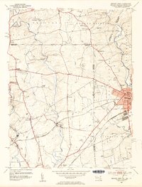 1953 Newark West1954 Print · USGSThe tristate borderlands of Maryland, Pennsylvania, and Delaware appear here in the early fifties as the University of Delaware and Newark began their modern expansion. Local historians can trace the Mason and Dixon Line across the landscape, past historic sites like Welsh Tract Ch Cem and Elk Mills.6 unique versions available
 - 1953 Map of Newark East, 1955 Print
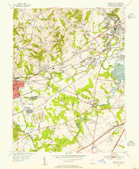 1953 Newark East1955 Print · USGSMid-century New Castle County shows a landscape of burgeoning suburbs and deep-rooted industrial corridors. Researchers can locate family landmarks at Coochs Bridge, St James Ch, and the Delaware Park Race Track.4 unique versions available
 - 1955 Map of Wilmington
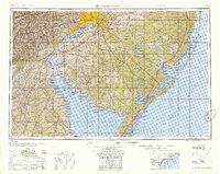 1955 Wilmington1955 Print · USGSThe Delaware Valley and Jersey Shore are seen here during the mid-fifties era of rapid suburban expansion and highway development. You can trace the path of the New Jersey Turnpike, locate the Fort Dix Military Reservation, or explore the rail networks of the Pennsylvania Railroad.
 - 1957 Map of Wilmington
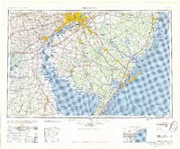 1957 Wilmington1957 Print · USGSThe mid-Atlantic coastal plain comes alive in the mid-fifties as the New Jersey Turnpike and Garden State Parkway redefine travel. Researchers can trace the rail-to-road transition and find landmarks like Ship John Shoal Light and the Fort Dix Military Reservation.2 unique versions available
 - 1959 Map of Wilmington
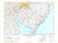 1959 Wilmington1959 Print · USGSThe Delaware Valley and Jersey Shore are seen here in the late fifties, during a period of massive suburban and highway expansion. Researchers can trace mid-century infrastructure like the N J Turnpike or locate coastal landmarks from Barnegat Bay to the Maurice River.3 unique versions available
 - 1966 Map of Wilmington, 1968 Print
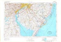 1966 Wilmington1968 Print · USGSThe Delaware Valley and Jersey Shore are seen here in the mid-1960s, documenting a landscape of dense industrial cities and emerging coastal resorts. Researchers can trace the sprawling rail networks of the Pennsylvania Railroad or locate landmarks like Fort Dix Military Reservation and Elk Neck State Park.4 unique versions available
 - 1972 Map of Wilmington, 1976 Print
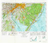 1972 Wilmington1976 Print · USGSThe Delaware Valley and Jersey Shore are seen here in the 1970s, showcasing the region's dense transport networks and vast state forests. Trace early coastal development near Atlantic City or locate rural landmarks like Mount Holly and Dover Air Force Base.2 unique versions available
 - 1984 Map of Wilmington, 1986 Print
 1984 Wilmington1986 Print · USGSThe Delaware Valley in the mid-eighties was a powerhouse of transit and industry where Delaware, New Jersey, Pennsylvania, and Maryland meet. Researchers can trace the sprawling rail networks of SEPTA and PATCO or locate historic sites like Fort Delaware State Park and Valley Forge State Forest.2 unique versions available
 - 1992 Map of Newark West, 1993 Print
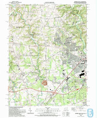 1992 Newark West1993 Print · USGSThe borderlands of Maryland, Delaware, and Pennsylvania are shown in the early nineties, centered on the equestrian landscapes of Fair Hill. Trace family roots at the Welsh Tract Ch or locate the Fair Hill Training Center and Elk Mills.3 unique versions available
 - 1993 Map of Newark East
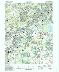 1993 Newark East1993 Print · USGSNewark and the surrounding Delaware suburbs are captured here in the early nineties as modern residential life integrates with historic transport corridors. Researchers can locate community anchors like Delaware Park, All Saints Cemetery, and Goldey Beacom College.2 unique versions available
 - 2011 Map of Newark East, 2011 Print
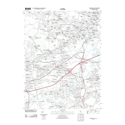 2011 Newark East2011 Print · USGSNew Castle County's transition from rural farmland to dense suburban communities is captured here in the early twenty-first century. Genealogists and local historians can locate long-standing landmarks like Ebenezer Cemetery, Brandywine Springs, and the University of Delaware Bob Carpenter Center.
 - 2011 Map of Newark West, 2011 Print
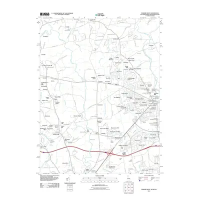 2011 Newark West2011 Print · USGSThe borderlands of Delaware, Maryland, and Pennsylvania come together in the early twenty-first century, showing a mix of collegiate expansion and rural heritage. Researchers can locate family landmarks like Mount Olivet Cemetery, the Elk Mills Quarry, and the Fair Hill Race Track.
 - 2014 Map of Newark West, 2014 Print
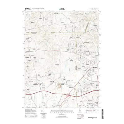 2014 Newark West2014 Print · USGSNewark and the surrounding tri-state borderlands are captured in this modern survey during a period of significant suburban development. Researchers can locate several historic burial sites like Mt Olivet Cem and landmarks such as the Childs Pony Truss Bridge.
 - 2014 Map of Newark East, 2014 Print
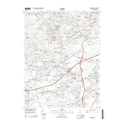 2014 Newark East2014 Print · USGSNew Castle County in the mid-2010s shows a landscape of established suburban neighborhoods and historic crossroads. Researchers can trace the development of communities like Pike Creek Valley and find old burial grounds such as Ebenezer Cem and All Saints Cem.
 - 2016 Map of Newark West, 2016 Print
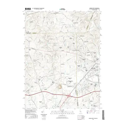 2016 Newark West2016 Print · USGSThe borderlands where Delaware, Maryland, and Pennsylvania meet are detailed here during a period of significant academic and residential growth. Genealogists and local historians can trace family landmarks and industrial sites like Elk Mills, Boot Hill Cemetery, and Nonatum Mills.
 - 2016 Map of Newark East, 2016 Print
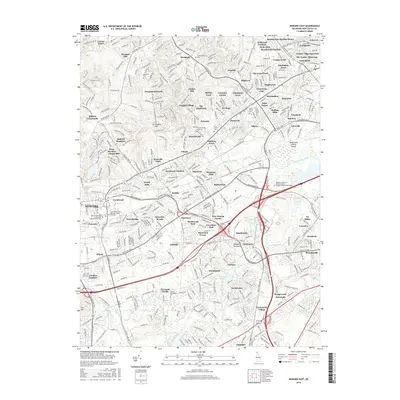 2016 Newark East2016 Print · USGSNew Castle County at the peak of its modern expansion reveals a landscape where historic crossroads meet contemporary infrastructure. Genealogists and historians can trace family locations near Ebenezer Cem, Marshallton, and the waters of White Clay Creek.
 - 2019 Map of Newark West, 2019 Print
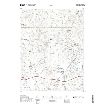 2019 Newark West2019 Print · USGSThe tri-state border region of Delaware, Maryland, and Pennsylvania is mapped here in 2019 as it balances modern growth with its deep colonial roots. Researchers can locate numerous ancestral burial grounds like London-Tract Baptist Cem or trace the early industrial heritage at Nonatum Mills.
Showing maps 1-25 of 28
Top cities near Newark
- Wilmington historical maps
- Elkton historical maps
- Hockessin historical maps
- Pennsville Township historical maps
- New Garden Township historical maps
- Middletown historical maps
See more
Top neighborhoods of Newark
- Studio Green historical maps
- Barksdale Estates historical maps
- Catalina Gardens historical maps
- Cherry Hill historical maps
- Cottage Mill historical maps
- Country Hills historical maps
See more
Frequently asked questions
- What are the different types of historical maps available for Newark?
- What is the oldest map of Newark?
- Where can I purchase historical maps of Newark for my home or office?
- Where can I download high-res historical maps of Newark?
- Are there historical topographic maps available for Newark?
- Is there historical aerial imagery available for Newark?
- Where are historical maps of Newark sourced from?