2000s (21st Century) Maps of Washington, District of Columbia
Explore 20 historic maps of Washington from the 2000s (21st Century). These maps offer a rare glimpse into what life looked like during the 2000s — showing old roads, neighborhoods, homes, and landmarks that have changed or disappeared over time.
Whether you're researching your family's past, planning a metal detecting trip, or studying how Washington's landscape evolved across the 2000s, these high-resolution maps are a powerful tool for exploring the history of this region.
- Focus on a specific era: All maps on this page are from the 2000s, giving you a focused view of this time period.
- See what’s changed: Compare century-old streets, trails, and buildings to today's modern landscape using overlays and satellite layers.
- Research with precision: Use these maps for genealogy, historical research, land use analysis, or educational projects.
- View, download, or print: Maps are fully viewable online in high resolution, and can be downloaded or printed for your own records.
Start exploring Washington's history through authentic maps from the 2000s. This is your window into the past.
Washington, DC maps
(20)- 2011 Map of Anacostia, 2011 Print
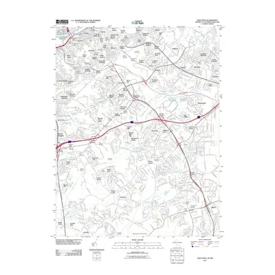 2011 Anacostia2011 Print · USGSCovers Washington, including Clinton, Suitland, and other nearby areas
 - 2011 Map of Washington East, 2011 Print
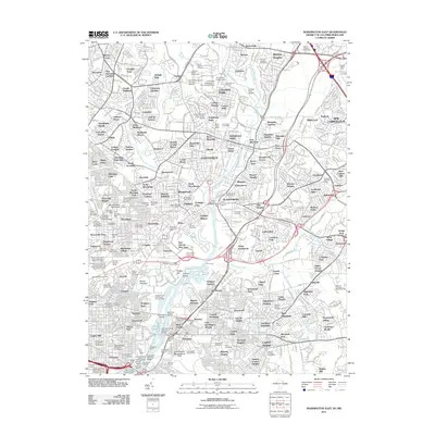 2011 Washington East2011 Print · USGSCovers Washington, including Silver Spring, College Park, and other nearby areas
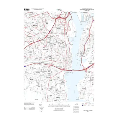
 - 2011 Map of Alexandria, 2011 Print
 2011 Alexandria2011 Print · USGSCovers Washington, including Alexandria, Groveton, and other nearby areas
 - 2011 Map of Washington West, 2011 Print
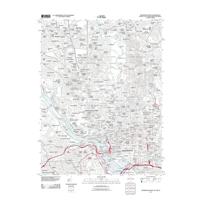 2011 Washington West2011 Print · USGSCovers Washington, including Arlington, Silver Spring, and other nearby areas
 - 2013 Map of Alexandria, 2013 Print
 2013 Alexandria2013 Print · USGSCovers Washington, including Alexandria, Groveton, and other nearby areas
 - 2014 Map of Washington West, 2014 Print
 2014 Washington West2014 Print · USGSCovers Washington, including Arlington, Silver Spring, and other nearby areas
 - 2014 Map of Washington East, 2014 Print
 2014 Washington East2014 Print · USGSCovers Washington, including Silver Spring, College Park, and other nearby areas
 - 2014 Map of Anacostia, 2014 Print
 2014 Anacostia2014 Print · USGSCovers Washington, including Clinton, Suitland, and other nearby areas
 - 2016 Map of Alexandria, 2016 Print
 2016 Alexandria2016 Print · USGSCovers Washington, including Alexandria, Groveton, and other nearby areas
 - 2016 Map of Washington West, 2016 Print
 2016 Washington West2016 Print · USGSCovers Washington, including Arlington, Silver Spring, and other nearby areas
 - 2016 Map of Washington East, 2016 Print
 2016 Washington East2016 Print · USGSCovers Washington, including Silver Spring, College Park, and other nearby areas
 - 2016 Map of Anacostia, 2016 Print
 2016 Anacostia2016 Print · USGSCovers Washington, including Clinton, Suitland, and other nearby areas
 - 2019 Map of Alexandria, 2019 Print
 2019 Alexandria2019 Print · USGSCovers Washington, including Alexandria, Groveton, and other nearby areas
 - 2019 Map of Washington West, 2019 Print
 2019 Washington West2019 Print · USGSCovers Washington, including Arlington, Silver Spring, and other nearby areas
 - 2019 Map of Anacostia, 2019 Print
 2019 Anacostia2019 Print · USGSCovers Washington, including Clinton, Suitland, and other nearby areas
 - 2019 Map of Washington East, 2019 Print
 2019 Washington East2019 Print · USGSCovers Washington, including Silver Spring, College Park, and other nearby areas
 - 2022 Map of Alexandria, 2022 Print
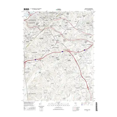
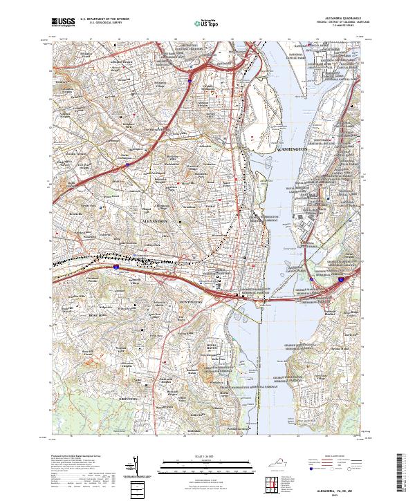 2022 Alexandria2022 Print · USGSThe Potomac River waterfront and Northern Virginia suburbs come alive in this modern survey. Genealogists can locate century-old burial sites such as the Travers Family Graveyard and Christ Church Graveyard near the Pentagon.
 - 2023 Map of Washington East, 2023 Print
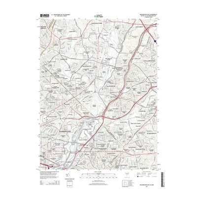
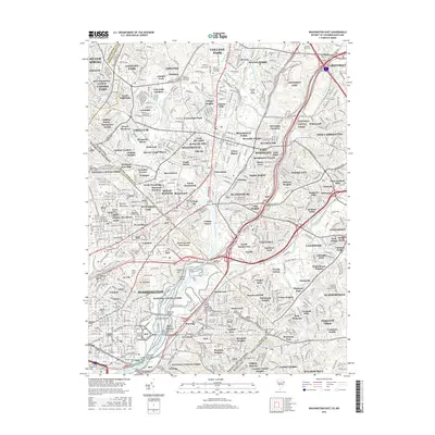
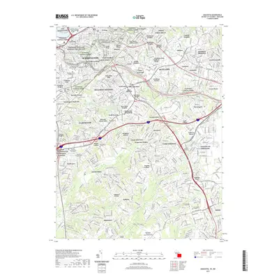
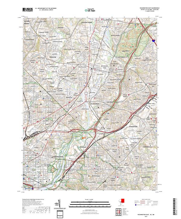 2023 Washington East2023 Print · USGSThe District of Columbia and Prince George's County border comes alive in this contemporary survey of the capital's northeast corridor. Genealogists and researchers can trace dozens of landmarks, from College Park Airport to several major burial grounds like Fort Lincoln Cem and Congressional Cem.
 - 2023 Map of Anacostia, 2023 Print
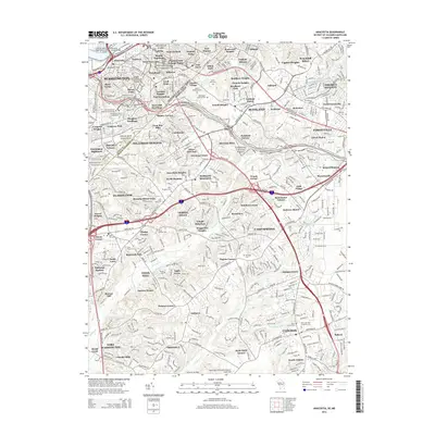
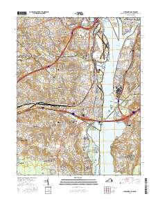
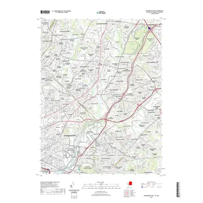
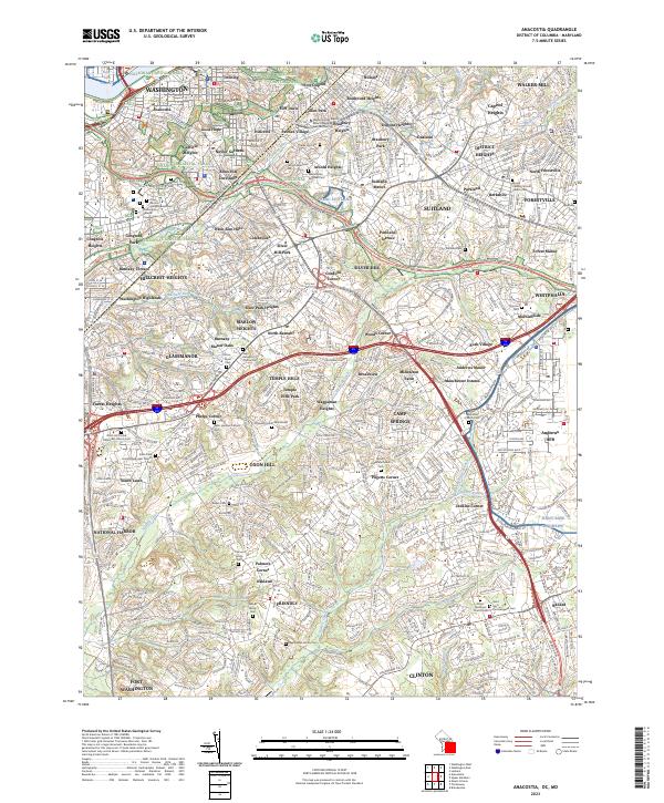 2023 Anacostia2023 Print · USGSSoutheast Washington and Prince George's County are documented here in recent years, showing the expansion of neighborhoods from Anacostia to Clinton. Researchers can trace numerous family and church burial sites, including the Steed Edelen Family Cem, Sellner Family Cem, and Lincoln Memorial Cem.
 - 2023 Map of Washington West, 2023 Print
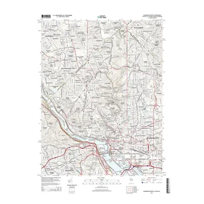
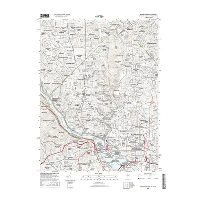
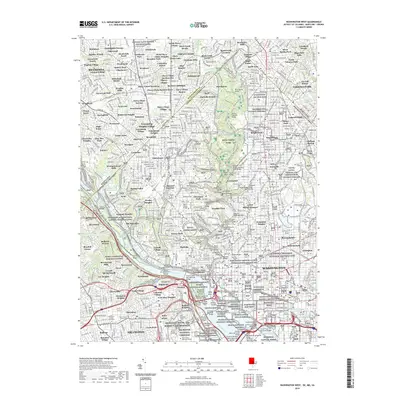
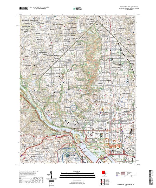 2023 Washington West2023 Print · USGSThe District of Columbia and its Maryland suburbs are shown here in the early twenty-first century, spanning the dense urban core to the edge of Bethesda. Researchers can trace the grounds of Arlington Natl Cem, find sites like Ford's Theatre, and locate historic burial societies at Mount Zion Cem.
End of results
Showing maps 1-20 of 20
Top cities near Washington
- Arlington historical maps
- Alexandria historical maps
- Silver Spring historical maps
- Gaithersburg historical maps
- Bethesda historical maps
- Rockville historical maps
See more
Top neighborhoods of Washington
- Cleveland Park historical maps
- Foggy Bottom historical maps
- Anacostia historical maps
- Langston historical maps
- Fort Totten historical maps
- Dupont Circle historical maps
See more
Frequently asked questions
- What are the different types of historical maps available for Washington?
- What is the oldest map of Washington?
- Where can I purchase historical maps of Washington for my home or office?
- Where can I download high-res historical maps of Washington?
- Are there historical topographic maps available for Washington?
- Is there historical aerial imagery available for Washington?
- Where are historical maps of Washington sourced from?