2020s Maps of Baker County, Florida
Explore 28 historic maps of Baker County from the 2020s. These maps offer a rare glimpse into what life looked like during the 2020s — showing old roads, neighborhoods, homes, and landmarks that have changed or disappeared over time.
Whether you're researching your family's past, planning a metal detecting trip, or studying how Baker County's landscape evolved across the 2020s, these high-resolution maps are a powerful tool for exploring the history of this region.
- Focus on a specific era: All maps on this page are from the 2020s, giving you a focused view of this time period.
- See what’s changed: Compare century-old streets, trails, and buildings to today's modern landscape using overlays and satellite layers.
- Research with precision: Use these maps for genealogy, historical research, land use analysis, or educational projects.
- View, download, or print: Maps are fully viewable online in high resolution, and can be downloaded or printed for your own records.
Start exploring Baker County's history through authentic maps from the 2020s. This is your window into the past.
Baker County, FL maps
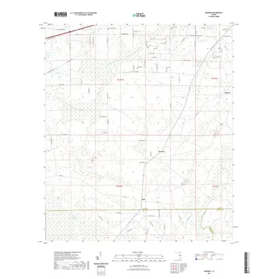
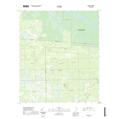
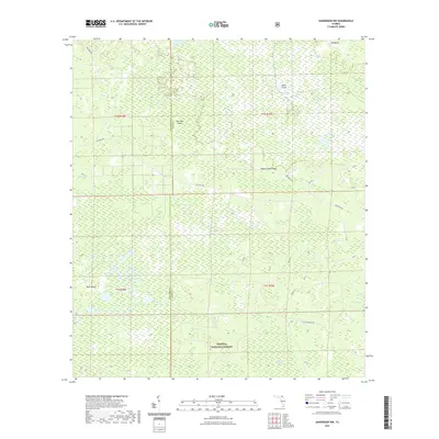
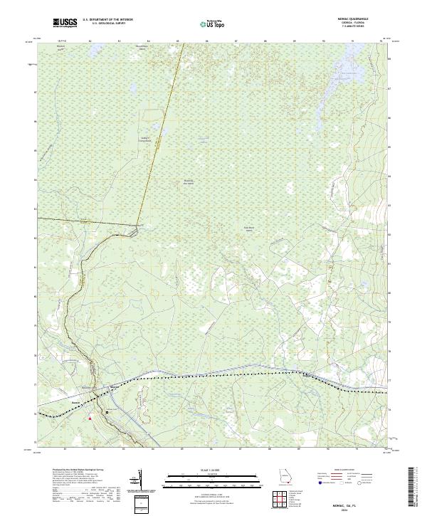
(28)- 2020 Map of Moniac, 2020 Print
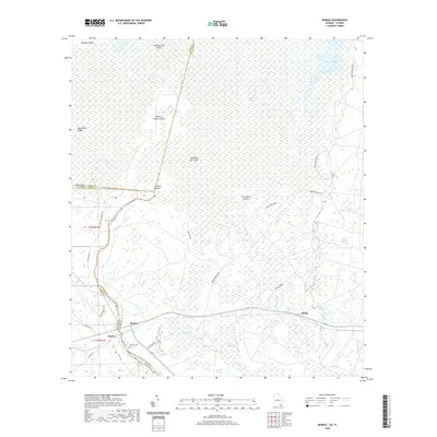 2020 Moniac2020 Print · USGSCovers Baker County, including Baxter, Moniac, and other nearby areas
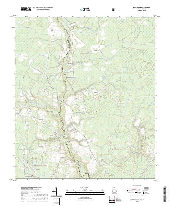
 - 2020 Map of Macclenny NW, 2020 Print
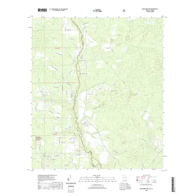 2020 Macclenny NW2020 Print · USGSCovers Baker County, including Charlton County, United States, and other nearby areas
 - 2021 Map of Macclenny East, 2021 Print
 2021 Macclenny East2021 Print · USGSCovers Baker County, including Jacksonville, Macclenny, and other nearby areas
 - 2021 Map of Manning, 2021 Print
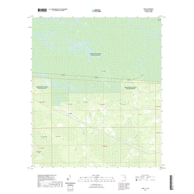
 2021 Manning2021 Print · USGSCovers Baker County, including Macclenny, Manning, and other nearby areas
 - 2021 Map of Sargent, 2021 Print
 2021 Sargent2021 Print · USGSCovers Baker County, including Rockvil, Columbia County, and other nearby areas
 - 2021 Map of Eddy, 2021 Print
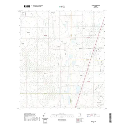
 2021 Eddy2021 Print · USGSCovers Baker County, including Eddy, Ware County, and other nearby areas
 - 2021 Map of Macclenny West, 2021 Print
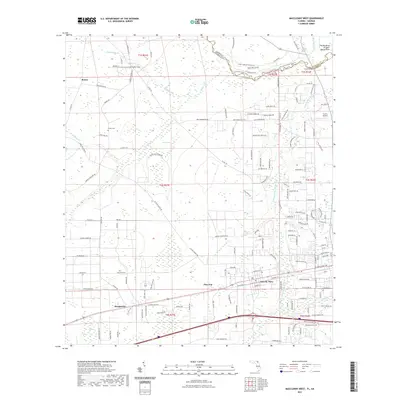 2021 Macclenny West2021 Print · USGSCovers Baker County, including Macclenny, Glen Saint Mary, and other nearby areas
 - 2021 Map of Maxville, 2021 Print
 2021 Maxville2021 Print · USGSCovers Baker County, including Jacksonville, Macclenny, and other nearby areas
 - 2021 Map of Sanderson NW, 2021 Print
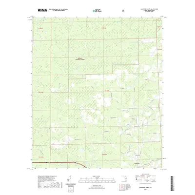
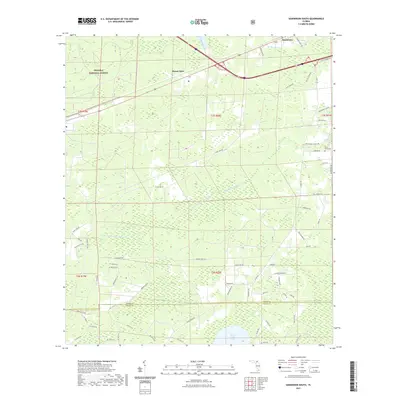
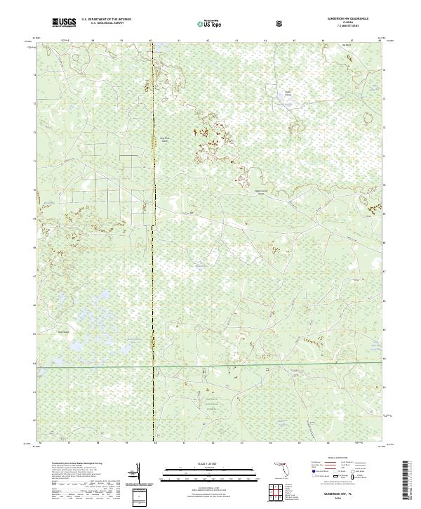
 2021 Sanderson NW2021 Print · USGSCovers Baker County, including Columbia County, United States, and other nearby areas
 - 2021 Map of Sanderson North, 2021 Print
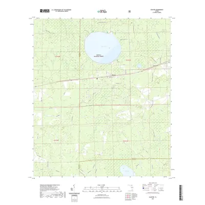
 2021 Sanderson North2021 Print · USGSCovers Baker County, including Sanderson, United States, and other nearby areas
 - 2021 Map of Olustee, 2021 Print
 2021 Olustee2021 Print · USGSCovers Baker County, including Olustee, Columbia County, and other nearby areas
 - 2021 Map of Big Gum Swamp, 2021 Print
 2021 Big Gum Swamp2021 Print · USGSCovers Baker County, including Columbia County, United States, and other nearby areas
 - 2021 Map of Sanderson South, 2021 Print
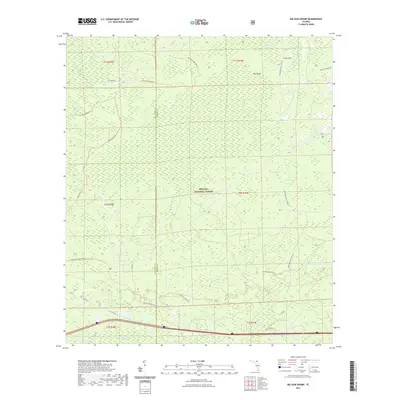
 2021 Sanderson South2021 Print · USGSCovers Baker County, including Manns Spur, Union County, and other nearby areas
 - 2021 Map of Taylor, 2021 Print
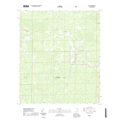 2021 Taylor2021 Print · USGSCovers Baker County, including Taylor, United States, and other nearby areas
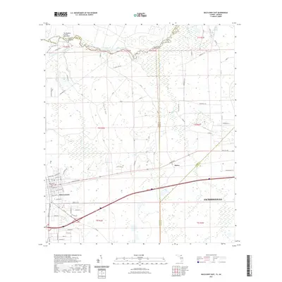
 - 2024 Map of Macclenny West, 2024 Print
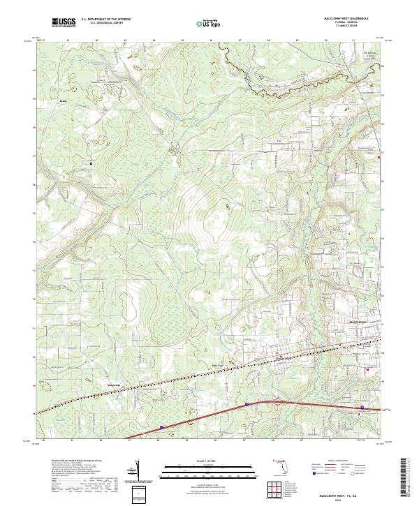 2024 Macclenny West2024 Print · USGSBaker County at the Georgia border is defined by the winding Saint Marys River and the expanding western reaches of Macclenny. Researchers can trace local family landmarks along Claude Harvey Rd, find the historic Woodlawn Cem, or locate the rural settlement of Margaretta.
 - 2024 Map of Sargent, 2024 Print
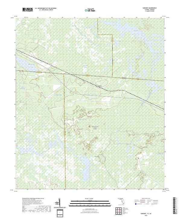 2024 Sargent2024 Print · USGSThe Florida-Georgia state line runs through the heart of the Okefenokee in the 2020s, where county boundaries meet in the deep swamp. Genealogists and historians can locate the settlement of Sargent and trace family-named terrain like Yonn Island and Moorehead Bay.
 - 2024 Map of Sanderson NW, 2024 Print
 2024 Sanderson NW2024 Print · USGSThe Florida backcountry near the Baker and Columbia county line is mapped here in its modern state, showcasing the deep wetlands of the Osceola National Forest. Researchers can trace the drainage of Pinhook Swamp and locate named high ground like Negro Camp Island and Clay Hole Island.
 - 2024 Map of Moniac, 2024 Print
 2024 Moniac2024 Print · USGSTracing the Georgia and Florida border in the 2020s, this map shows where the Okefenokee Swamp meets the Saint Marys River. Genealogists can locate family landmarks like Rollinsons Ferry, Moniac Cem, and the rural community of Boggy.
 - 2024 Map of Macclenny NW, 2024 Print
 2024 Macclenny NW2024 Print · USGSThe Georgia-Florida border comes alive in this contemporary survey of the Charlton and Baker county lines. Researchers can trace family history at the Canaday Cem or explore the wetlands of Whites Flat Bay and the Osceola National Forest.
 - 2024 Map of Sanderson North, 2024 Print
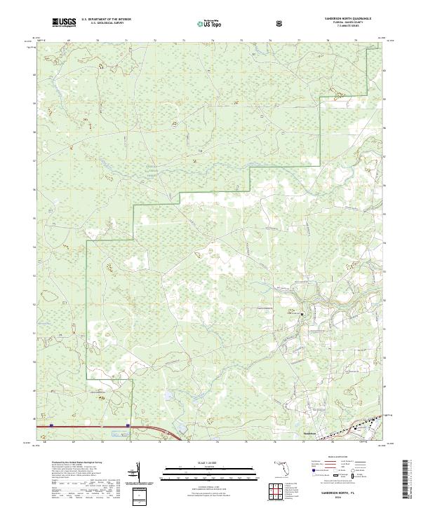 2024 Sanderson North2024 Print · USGSBaker County's rural landscape is captured here in the mid-2020s, dominated by the wetlands and pine stands of the Osceola National Forest. Researchers can trace local family lineages through sites like Sanderson Cem, Cedar Creek Cem, and Dinkins Church.
 - 2024 Map of Big Gum Swamp, 2024 Print
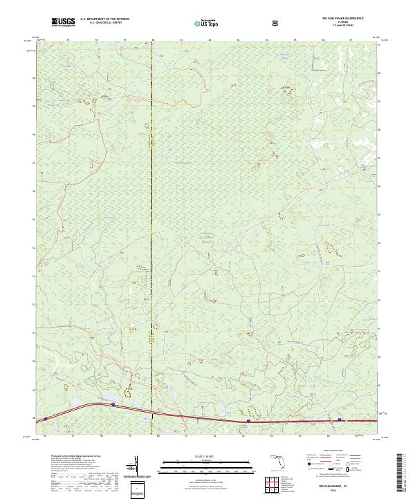 2024 Big Gum Swamp2024 Print · USGSThe Florida backcountry of the Osceola National Forest is captured here in its modern state of conservation. Hikers and researchers can trace the route of the Florida National Scenic Trl past remote features like Impassable Bay and Big Island.
 - 2024 Map of Maxville, 2024 Print
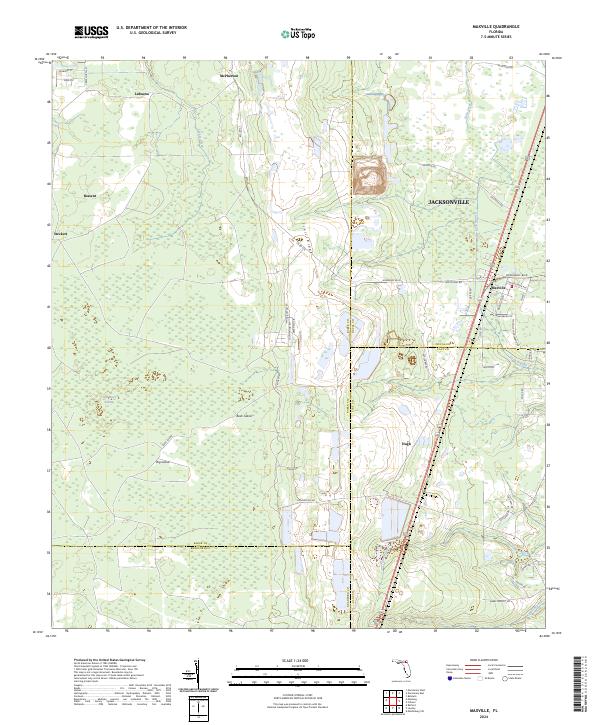 2024 Maxville2024 Print · USGSThe Baker and Duval County borderlands come into focus in the present day, centered on the historic crossroads of Maxville. Researchers can trace the drainage of New River Swamp and locate rural family settlements such as Bessent, Steckert, and LaBuena.
 - 2024 Map of Manning, 2024 Print
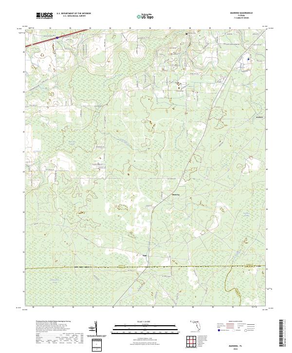 2024 Manning2024 Print · USGSThe rural borderlands where Baker, Union, and Bradford counties meet are documented here during the early twenty-first century. Genealogists and local historians can locate Mantown Cem and trace the small settlements of Manning and Sapp amidst the New River Swamp.
 - 2024 Map of Taylor, 2024 Print
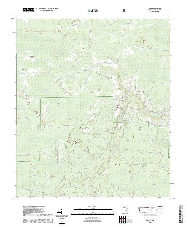 2024 Taylor2024 Print · USGSSettlement and forestry define this northern Florida landscape in the early twenty-first century. Family researchers can trace land use along Morris Dowling Rd or locate rural landmarks like Taylor and the nearby Camp Osceola Rd.
 - 2024 Map of Macclenny East, 2024 Print
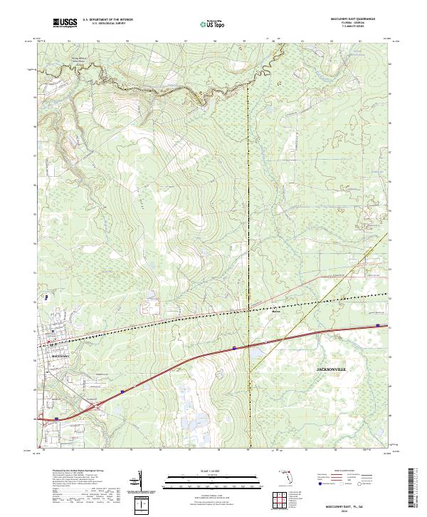 2024 Macclenny East2024 Print · USGSThe Florida-Georgia borderland comes alive in this survey of Macclenny and the winding Saint Marys River. Genealogists and historians can trace local landmarks like the Baker County Courthouse, the settlement of Mattox, and the Jacksonville Baldwin Rail Trl.
Showing maps 1-25 of 28
Top cities of Baker County
Frequently asked questions
- What are the different types of historical maps available for Baker County?
- What is the oldest map of Baker County?
- Where can I purchase historical maps of Baker County for my home or office?
- Where can I download high-res historical maps of Baker County?
- Are there historical topographic maps available for Baker County?
- Is there historical aerial imagery available for Baker County?
- Where are historical maps of Baker County sourced from?