Old Maps of Macclenny, Florida for Genealogy
Trace your family roots with 33 historic maps of Macclenny. These high-res maps reveal old neighborhoods, homesites, landmarks, and streets — helping you uncover where your ancestors lived and how the area evolved over time.
- Explore historic neighborhoods: Identify where your relatives may have lived in the 1800s or 1900s.
- Compare maps over time: Trace the changes in streets, buildings, and landmarks for multi-generational research.
- Perfect for genealogy & ancestry research: Used by family historians and researchers to map out lineage and migration.
These maps are an incredible resource for exploring your personal connection to Macclenny's past.
Macclenny, FL maps
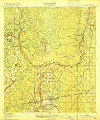
(33)- 1917 Map of Macclenny, 1967 Print
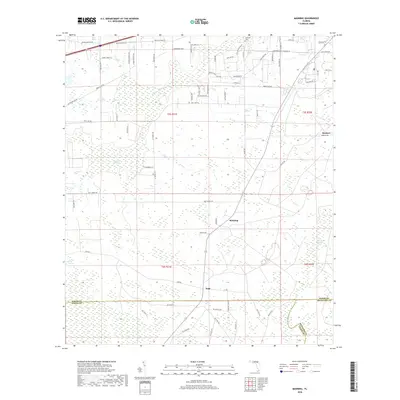
 1917 Macclenny1967 Print · USGSThe Florida-Georgia borderlands come to life in the years before the Great War, showing the rail junctions and river crossings that shaped Baker County. Genealogists can trace family roots through numerous local landmarks like Sings Still, Macedon Church, and Garrett School.
 - 1918 Map of Lawtey
 1918 Lawtey1918 Print · USGSFlorida's northern interior during the First World War reveals a landscape of isolated farmsteads and growing rail towns. Researchers can locate early schoolhouses like Ben Rowe School and Vanderbilt School or trace the early footprint of the Bradford Farms (State Prison).5 unique versions available
 - 1918 Map of Macclenny
 1918 Macclenny1918 Print · USGSThe Florida-Georgia borderlands come to life in this World War I-era survey of the pine flatwoods and river prongs. Researchers can trace early family sites like Macclenny and Glen St Mary, alongside rural landmarks such as Hicks Church and Suggs Still.4 unique versions available
 - 1954 Map of Valdosta, 1967 Print
 1954 Valdosta1967 Print · USGSThe South Georgia and North Florida borderlands are captured here in the mid-fifties, showing the deep timber and wetland networks of the coastal plain. Researchers can trace the path of the Atlantic Coast Line through Valdosta or explore the interior of the Okefenokee Swamp.2 unique versions available
 - 1958 Map of Valdosta
 1958 Valdosta1958 Print · USGSSouth Georgia and North Florida are captured here in the mid-fifties, showing the vast Okefenokee Swamp and the vital timber and rail corridors connecting the two states. Researchers can locate the footprint of Moody Air Force Base, trace the Live Oak Perry and Gulf railroad, or find early community sites like Bakers Mill and Paradise Church.
 - 1959 Map of Valdosta
 1959 Valdosta1959 Print · USGSThe Georgia-Florida borderlands in the mid-fifties reveal a landscape of massive blackwater swamps and emerging military aviation hubs. Genealogists and historians can trace rail-stop towns like Fargo and Stockton or explore the interior reaches of the Okefenokee Swamp and Billys Island.
 - 1970 Map of Manning, 1973 Print
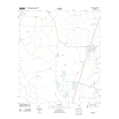
 1970 Manning1973 Print · USGSBaker and Union counties are shown here in the early 1970s, a landscape shaped by the Seaboard Coast Line and the Northeast Florida State Hospital. Genealogists can trace rural communities like Sapp, Manning, and Steckert alongside landmarks like Manntown Ch.
 - 1970 Map of Maxville, 1973 Print
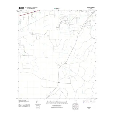
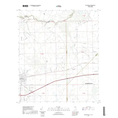
 1970 Maxville1973 Print · USGSNorth Florida's timberlands and rail corridors are captured here in the early 1970s at the meeting of four counties. Genealogists and historians can trace the rural communities of Maxville and Hugh or locate old crossings at Turkey Creek and Bessent.2 unique versions available
 - 1972 Map of Macclenny West, 1973 Print
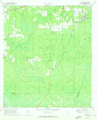
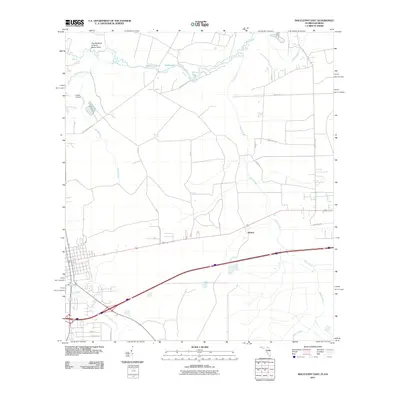
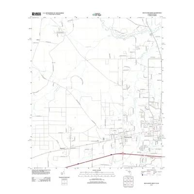
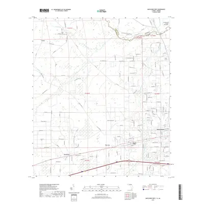
 1972 Macclenny West1973 Print · USGSBaker County at the start of the 1970s is shown here as a landscape of rail-side towns and river bends. Genealogists and historians can trace the foundations of Glen St Mary and Margaretta, and locate family burial sites at Woodlawn Cem or Turner Cem.3 unique versions available
 - 1972 Map of Macclenny East, 1973 Print
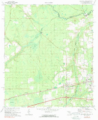
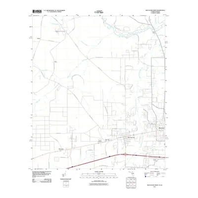
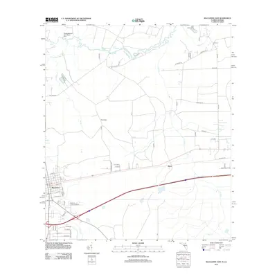
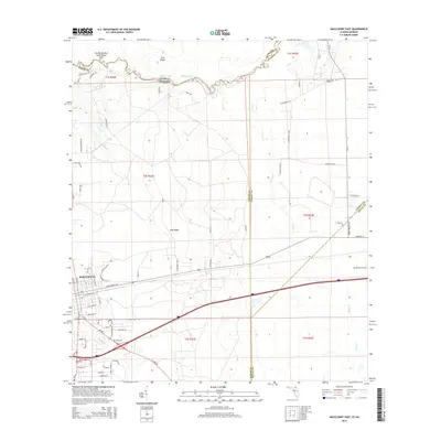
 1972 Macclenny East1973 Print · USGSThe Baker County seat and the Georgia state line meet in the early 1970s along the historic Trail Ridge. Trace the rail corridor of the Seaboard Coast Line through Macclenny and find local landmarks like Brandy Branch Ch and Mattox.
 - 1981 Map of Lake City
 1981 Lake City1981 Print · USGSNorth Florida and South Georgia are mapped in the early eighties as the region balanced forestry with growing infrastructure. Genealogists can trace family names and locations from Live Oak to Macclenny, or find cultural landmarks like the Stephen Foster State Folk Culture Center.2 unique versions available
 - 2011 Map of Macclenny West, 2011 Print
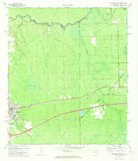
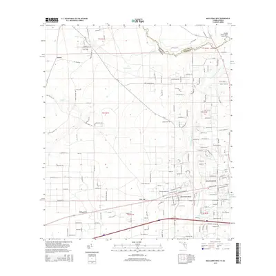
 2011 Macclenny West2011 Print · USGSCovers Macclenny, including Glen Saint Mary, Margaretta, and other nearby areas
 - 2011 Map of Macclenny East, 2011 Print
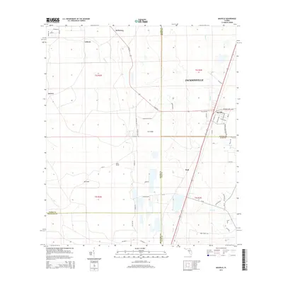
 2011 Macclenny East2011 Print · USGSCovers Macclenny, including Jacksonville, Mattox, and other nearby areas
 - 2012 Map of Maxville, 2012 Print
 2012 Maxville2012 Print · USGSCovers Macclenny, including Jacksonville, McPherson, and other nearby areas
 - 2012 Map of Manning, 2012 Print
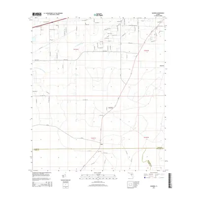
 2012 Manning2012 Print · USGSCovers Macclenny, including Manning, Sapp, and other nearby areas
 - 2012 Map of Macclenny East, 2012 Print
 2012 Macclenny East2012 Print · USGSCovers Macclenny, including Jacksonville, Mattox, and other nearby areas
 - 2012 Map of Macclenny West, 2012 Print
 2012 Macclenny West2012 Print · USGSCovers Macclenny, including Glen Saint Mary, Margaretta, and other nearby areas
 - 2015 Map of Macclenny West, 2015 Print
 2015 Macclenny West2015 Print · USGSCovers Macclenny, including Glen Saint Mary, Margaretta, and other nearby areas
 - 2015 Map of Maxville, 2015 Print
 2015 Maxville2015 Print · USGSCovers Macclenny, including Jacksonville, McPherson, and other nearby areas
 - 2015 Map of Macclenny East, 2015 Print
 2015 Macclenny East2015 Print · USGSCovers Macclenny, including Jacksonville, Mattox, and other nearby areas
 - 2015 Map of Manning, 2015 Print
 2015 Manning2015 Print · USGSCovers Macclenny, including Manning, Sapp, and other nearby areas
 - 2018 Map of Maxville, 2018 Print
 2018 Maxville2018 Print · USGSCovers Macclenny, including Jacksonville, McPherson, and other nearby areas
 - 2018 Map of Macclenny West, 2018 Print
 2018 Macclenny West2018 Print · USGSCovers Macclenny, including Glen Saint Mary, Margaretta, and other nearby areas
 - 2018 Map of Manning, 2018 Print
 2018 Manning2018 Print · USGSCovers Macclenny, including Manning, Sapp, and other nearby areas
 - 2018 Map of Macclenny East, 2018 Print
 2018 Macclenny East2018 Print · USGSCovers Macclenny, including Jacksonville, Mattox, and other nearby areas
Showing maps 1-25 of 33
Top cities near Macclenny
- Jacksonville historical maps
- Baldwin historical maps
- Lawtey historical maps
- Glen Saint Mary historical maps
- Raiford historical maps
Frequently asked questions
- What are the different types of historical maps available for Macclenny?
- What is the oldest map of Macclenny?
- Where can I purchase historical maps of Macclenny for my home or office?
- Where can I download high-res historical maps of Macclenny?
- Are there historical topographic maps available for Macclenny?
- Is there historical aerial imagery available for Macclenny?
- Where are historical maps of Macclenny sourced from?