2000s (21st Century) Maps of Macclenny, Florida
Explore 22 historic maps of Macclenny from the 2000s (21st Century). These maps offer a rare glimpse into what life looked like during the 2000s — showing old roads, neighborhoods, homes, and landmarks that have changed or disappeared over time.
Whether you're researching your family's past, planning a metal detecting trip, or studying how Macclenny's landscape evolved across the 2000s, these high-resolution maps are a powerful tool for exploring the history of this region.
- Focus on a specific era: All maps on this page are from the 2000s, giving you a focused view of this time period.
- See what’s changed: Compare century-old streets, trails, and buildings to today's modern landscape using overlays and satellite layers.
- Research with precision: Use these maps for genealogy, historical research, land use analysis, or educational projects.
- View, download, or print: Maps are fully viewable online in high resolution, and can be downloaded or printed for your own records.
Start exploring Macclenny's history through authentic maps from the 2000s. This is your window into the past.
Macclenny, FL maps
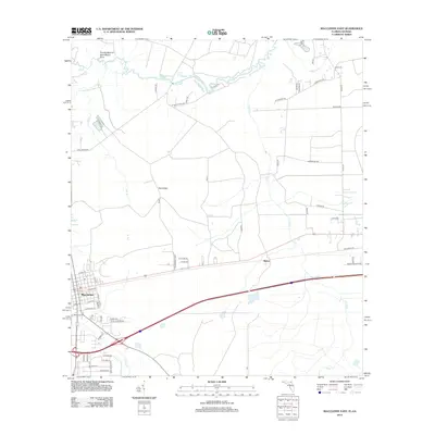
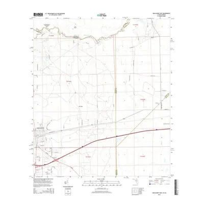
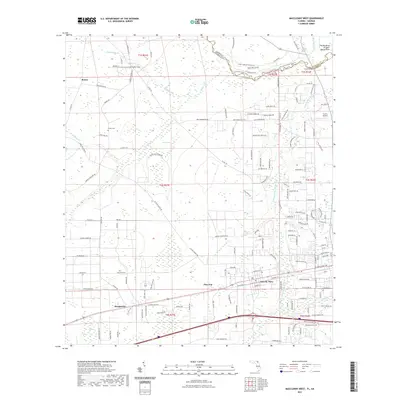
(22)- 2011 Map of Macclenny West, 2011 Print
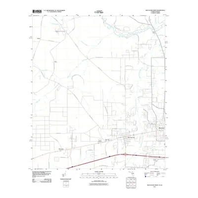 2011 Macclenny West2011 Print · USGSCovers Macclenny, including Glen Saint Mary, Margaretta, and other nearby areas
 - 2011 Map of Macclenny East, 2011 Print
 2011 Macclenny East2011 Print · USGSCovers Macclenny, including Jacksonville, Mattox, and other nearby areas
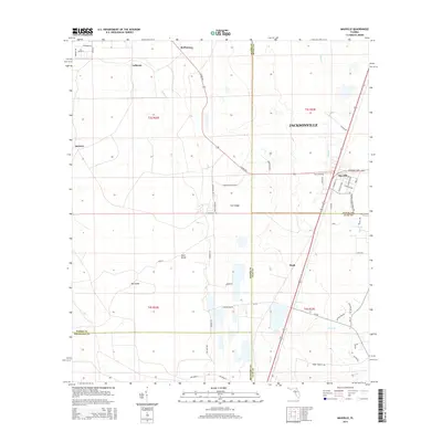
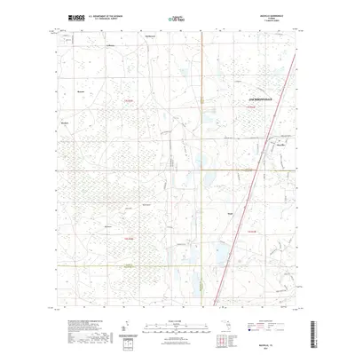
 - 2012 Map of Maxville, 2012 Print
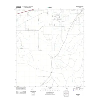
 2012 Maxville2012 Print · USGSCovers Macclenny, including Jacksonville, McPherson, and other nearby areas
 - 2012 Map of Manning, 2012 Print
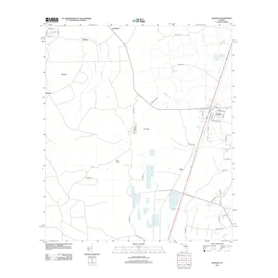
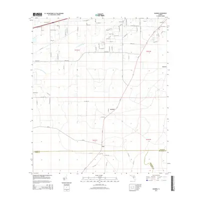
 2012 Manning2012 Print · USGSCovers Macclenny, including Manning, Sapp, and other nearby areas
 - 2012 Map of Macclenny East, 2012 Print
 2012 Macclenny East2012 Print · USGSCovers Macclenny, including Jacksonville, Mattox, and other nearby areas
 - 2012 Map of Macclenny West, 2012 Print
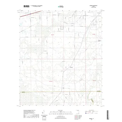
 2012 Macclenny West2012 Print · USGSCovers Macclenny, including Glen Saint Mary, Margaretta, and other nearby areas
 - 2015 Map of Macclenny West, 2015 Print
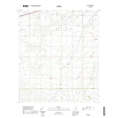
 2015 Macclenny West2015 Print · USGSCovers Macclenny, including Glen Saint Mary, Margaretta, and other nearby areas
 - 2015 Map of Maxville, 2015 Print
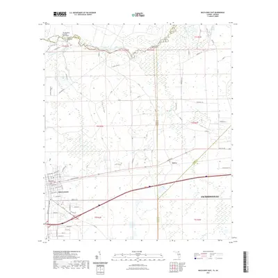
 2015 Maxville2015 Print · USGSCovers Macclenny, including Jacksonville, McPherson, and other nearby areas
 - 2015 Map of Macclenny East, 2015 Print
 2015 Macclenny East2015 Print · USGSCovers Macclenny, including Jacksonville, Mattox, and other nearby areas
 - 2015 Map of Manning, 2015 Print
 2015 Manning2015 Print · USGSCovers Macclenny, including Manning, Sapp, and other nearby areas
 - 2018 Map of Maxville, 2018 Print
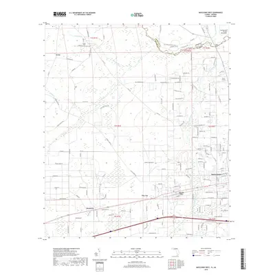
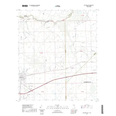
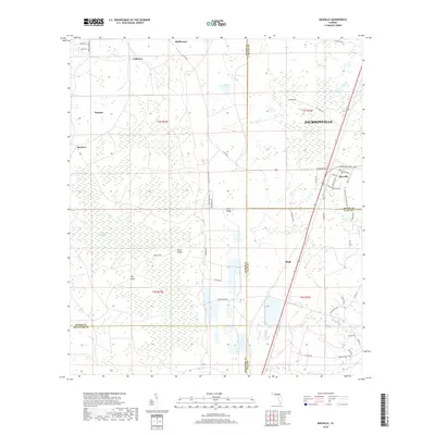 2018 Maxville2018 Print · USGSCovers Macclenny, including Jacksonville, McPherson, and other nearby areas
 - 2018 Map of Macclenny West, 2018 Print
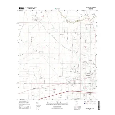
 2018 Macclenny West2018 Print · USGSCovers Macclenny, including Glen Saint Mary, Margaretta, and other nearby areas
 - 2018 Map of Manning, 2018 Print
 2018 Manning2018 Print · USGSCovers Macclenny, including Manning, Sapp, and other nearby areas
 - 2018 Map of Macclenny East, 2018 Print
 2018 Macclenny East2018 Print · USGSCovers Macclenny, including Jacksonville, Mattox, and other nearby areas
 - 2021 Map of Macclenny East, 2021 Print
 2021 Macclenny East2021 Print · USGSCovers Macclenny, including Jacksonville, Mattox, and other nearby areas
 - 2021 Map of Manning, 2021 Print
 2021 Manning2021 Print · USGSCovers Macclenny, including Manning, Sapp, and other nearby areas
 - 2021 Map of Macclenny West, 2021 Print
 2021 Macclenny West2021 Print · USGSCovers Macclenny, including Glen Saint Mary, Margaretta, and other nearby areas
 - 2021 Map of Maxville, 2021 Print
 2021 Maxville2021 Print · USGSCovers Macclenny, including Jacksonville, McPherson, and other nearby areas
 - 2024 Map of Macclenny West, 2024 Print
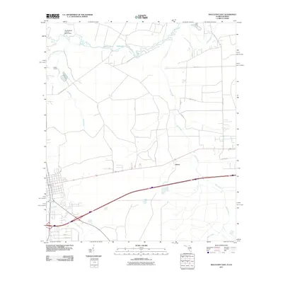
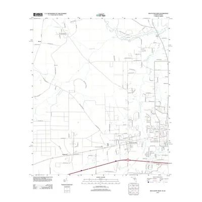
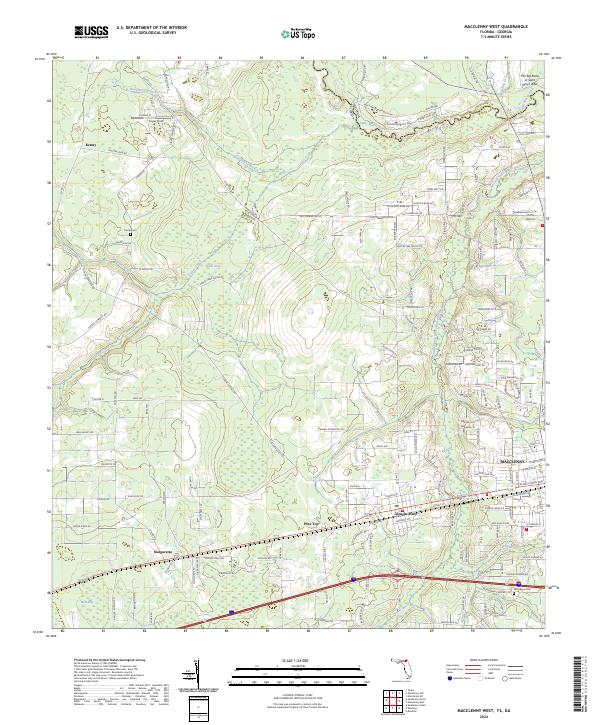 2024 Macclenny West2024 Print · USGSBaker County at the Georgia border is defined by the winding Saint Marys River and the expanding western reaches of Macclenny. Researchers can trace local family landmarks along Claude Harvey Rd, find the historic Woodlawn Cem, or locate the rural settlement of Margaretta.
 - 2024 Map of Maxville, 2024 Print
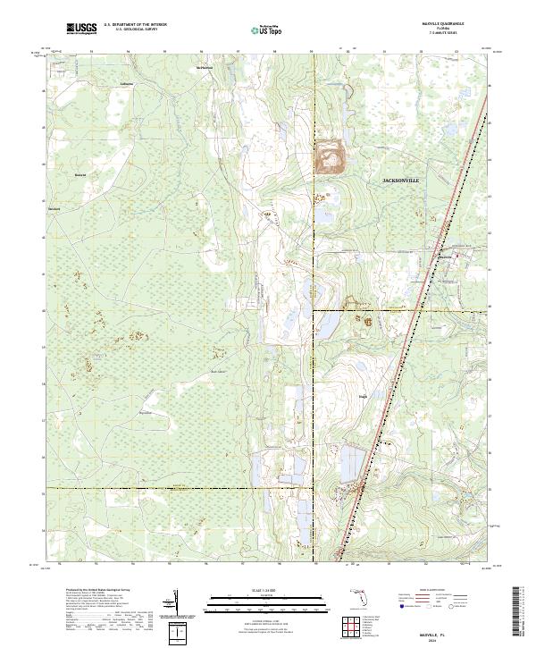 2024 Maxville2024 Print · USGSThe Baker and Duval County borderlands come into focus in the present day, centered on the historic crossroads of Maxville. Researchers can trace the drainage of New River Swamp and locate rural family settlements such as Bessent, Steckert, and LaBuena.
 - 2024 Map of Manning, 2024 Print
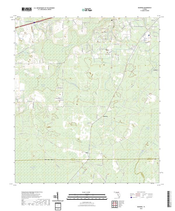 2024 Manning2024 Print · USGSThe rural borderlands where Baker, Union, and Bradford counties meet are documented here during the early twenty-first century. Genealogists and local historians can locate Mantown Cem and trace the small settlements of Manning and Sapp amidst the New River Swamp.
 - 2024 Map of Macclenny East, 2024 Print
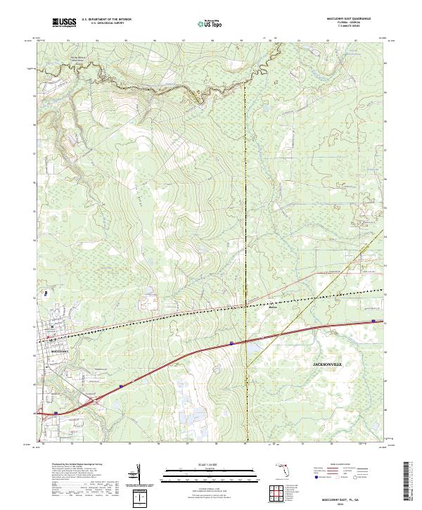 2024 Macclenny East2024 Print · USGSThe Florida-Georgia borderland comes alive in this survey of Macclenny and the winding Saint Marys River. Genealogists and historians can trace local landmarks like the Baker County Courthouse, the settlement of Mattox, and the Jacksonville Baldwin Rail Trl.
End of results
Showing maps 1-22 of 22
Top cities near Macclenny
- Jacksonville historical maps
- Baldwin historical maps
- Lawtey historical maps
- Glen Saint Mary historical maps
- Raiford historical maps
Frequently asked questions
- What are the different types of historical maps available for Macclenny?
- What is the oldest map of Macclenny?
- Where can I purchase historical maps of Macclenny for my home or office?
- Where can I download high-res historical maps of Macclenny?
- Are there historical topographic maps available for Macclenny?
- Is there historical aerial imagery available for Macclenny?
- Where are historical maps of Macclenny sourced from?