Old Maps of Merritt Island, Florida for Hiking & Exploration
Hike through history with 13 historic maps of Merritt Island. Explore old trails, ghost towns, and forgotten backroads — perfect for outdoor adventurers and local explorers.
- Rediscover forgotten places: Map out old mining camps, roads, and footpaths that no longer exist on modern maps.
- Layer with modern tools: Combine with LiDAR or satellite views to plan hikes through historical terrain.
- Made for exploration: Popular among hikers, overlanders, and local history lovers.
Use these maps to find adventure and explore the hidden past of Merritt Island.
Merritt Island, FL maps
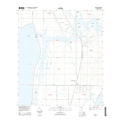
(13)- 1949 Map of Orsino, 1960 Print
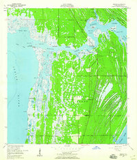 1949 Orsino1960 Print · USGSMerritt Island and the Florida coast appear here in a series of intricate wetlands and lagoons just before the mid-century space era. Researchers can trace early settlements and landings like Orsino, Hubs Landing, and the unique Banana Creek Fish Camp Humpback Bridge.3 unique versions available
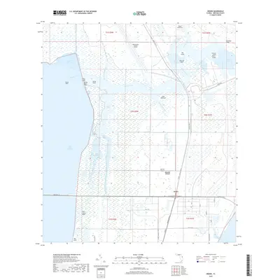
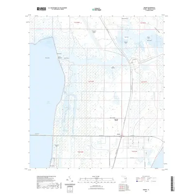
 - 1951 Map of Orsino
 1951 Orsino1951 Print · USGSMerritt Island in the early fifties remains a labyrinth of coastal wetlands and small fishing outposts. Genealogists and historians can trace the early footprints of Orsino and Hubs Landing or locate landmarks like Picnic Island and Peacocks Pocket.
 - 1955 Map of Orlando, 1969 Print
 1955 Orlando1969 Print · USGSCentral Florida was entering the space age in the mid-fifties, balancing its citrus heritage with new military and aerospace frontiers. You can trace early developments at Kennedy Space Center or locate interior settlements like Eatonville and Pine Castle.3 unique versions available
 - 1957 Map of Orlando
 1957 Orlando1957 Print · USGSCovers Merritt Island, including Orlando, Palm Bay, and other nearby areas
 - 1958 Map of Orlando
 1958 Orlando1958 Print · USGSCentral Florida was a landscape of citrus, rail, and emerging aerospace technology during the late fifties. Researchers can trace the early footprints of Cape Canaveral and Patrick Air Force Base or locate inland citrus and rail hubs like Sanford and Lakeland.
 - 1962 Map of Orlando
 1962 Orlando1962 Print · USGSCentral Florida was transformed by aerospace and citrus at the start of the sixties. Genealogists and historians can trace old community footprints from Eau Gallie to Leesburg, alongside landmarks like McCoy AFB and the winding Econlockhatchee River.
 - 1976 Map of Orsino
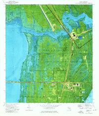 1976 Orsino1976 Print · USGSMerritt Island during the mid-seventies reveals the massive infrastructure of the American space program carved into Florida's coastal wetlands. Track the alignment of the U. S. Government Railroad as it passes the Launch Control Center and the old settlement of Orsino.
 - 1979 Map of Titusville, 1980 Print
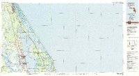 1979 Titusville1980 Print · USGSThe Florida coast near Titusville shows a unique duality in the late seventies between aerospace ambition and coastal wilderness. Genealogists and historians can trace property boundaries of early land grants like Joseph Wales alongside the John F Kennedy Space Center (NASA).
 - 2012 Map of Orsino, 2012 Print
 2012 Orsino2012 Print · USGSCovers Merritt Island, including Brevard County, United States, and other nearby areas
 - 2015 Map of Orsino, 2015 Print
 2015 Orsino2015 Print · USGSCovers Merritt Island, including Brevard County, United States, and other nearby areas
 - 2018 Map of Orsino, 2018 Print
 2018 Orsino2018 Print · USGSCovers Merritt Island, including Brevard County, United States, and other nearby areas
 - 2021 Map of Orsino, 2021 Print
 2021 Orsino2021 Print · USGSCovers Merritt Island, including Brevard County, United States, and other nearby areas
 - 2024 Map of Orsino, 2024 Print
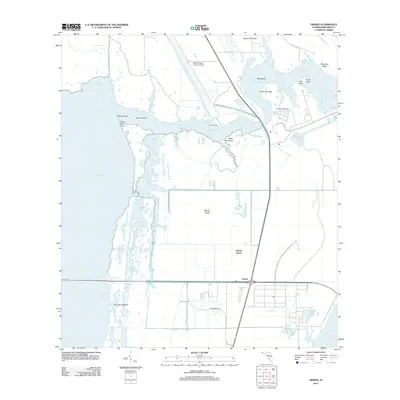
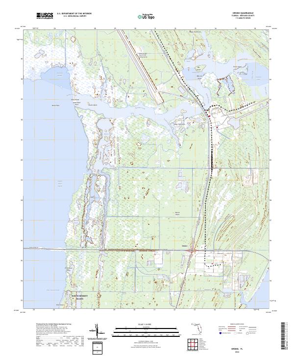 2024 Orsino2024 Print · USGSNorth Merritt Island is documented here in its dual role as a nature sanctuary and a global aerospace hub. Trace the unique juxtaposition of the Space Florida Launch and Landing Facility against wild landmarks like Happy Hammock and the settlement of Orsino.
End of results
Showing maps 1-13 of 13
Top cities near Merritt Island
- Titusville historical maps
- Merritt Island historical maps
- Rockledge historical maps
- Cocoa historical maps
- Cocoa Beach historical maps
- Cape Canaveral historical maps
See more
Frequently asked questions
- What are the different types of historical maps available for Merritt Island?
- What is the oldest map of Merritt Island?
- Where can I purchase historical maps of Merritt Island for my home or office?
- Where can I download high-res historical maps of Merritt Island?
- Are there historical topographic maps available for Merritt Island?
- Is there historical aerial imagery available for Merritt Island?
- Where are historical maps of Merritt Island sourced from?