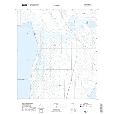
2018 Map of Orsino
USGS Topo · Published 2018About this map
The NASA Shuttle Landing Facility dominates the northern landscape of this portion of Merritt Island, reflecting the area's intensive aerospace development. Below the long runway, the terrain transitions into a complex network of wetlands and tidal waters. The small settlement of Orsino sits at the junction of NASA Pkwy E and the Kennedy Pkwy N, serving as a rare terrestrial anchor in a region otherwise defined by the Indian River Lagoon and the winding Banana Creek.
Find a feature on this map
49 named features on this map. Tap any name to fly to it.
Don’t see what you’re looking for? This feature index may not catch every label — zoom into the map to look around manually.
Map Details
Editions of this 2018 Orsino Map
This is the sole edition of this map. No revisions or reprints were ever made.
Other maps of this area
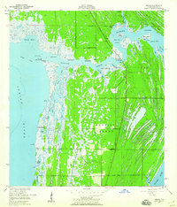
1949 · Orsino
USGS Topo · 1:24,000
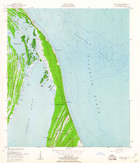
1949 · False Cape
USGS Topo · 1:24,000
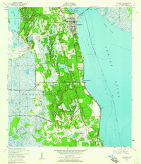
1949 · Titusville
USGS Topo · 1:24,000
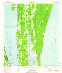
1949 · Courtenay
USGS Topo · 1:24,000
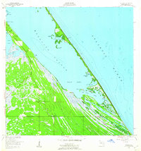
1949 · Wilson
USGS Topo · 1:24,000
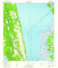
1949 · Mims
USGS Topo · 1:24,000
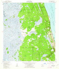
1949 · Sharpes
USGS Topo · 1:24,000
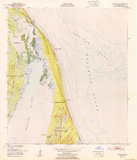
1951 · False Cape
USGS Topo · 1:24,000
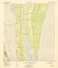
1951 · Courtenay
USGS Topo · 1:24,000
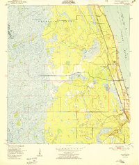
1951 · Sharpes
USGS Topo · 1:24,000