Old Maps of Southmere, Florida for Genealogy
Trace your family roots with 11 historic maps of Southmere. These high-res maps reveal old neighborhoods, homesites, landmarks, and streets — helping you uncover where your ancestors lived and how the area evolved over time.
- Explore historic neighborhoods: Identify where your relatives may have lived in the 1800s or 1900s.
- Compare maps over time: Trace the changes in streets, buildings, and landmarks for multi-generational research.
- Perfect for genealogy & ancestry research: Used by family historians and researchers to map out lineage and migration.
These maps are an incredible resource for exploring your personal connection to Southmere's past.
Southmere, FL maps
(11)- 1950 Map of Aurantia, 1952 Print
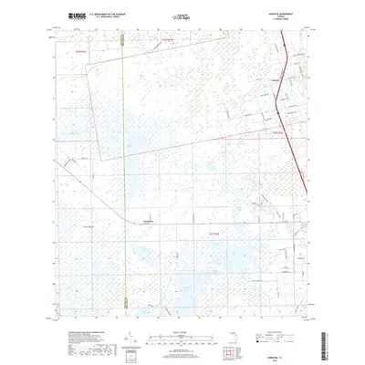
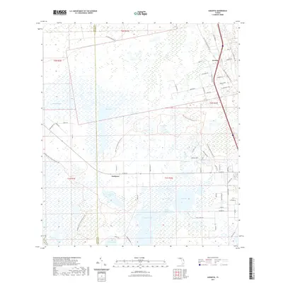
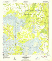 1950 Aurantia1952 Print · USGSBrevard County was a landscape of Spanish land grants and sprawling wetlands at the mid-century point. Researchers can trace the Florida East Coast rail line as it passes through Aurantia, and locate landmarks like Southmere and the Brevard County Game Refuge.5 unique versions available
 - 1955 Map of Orlando, 1969 Print
 1955 Orlando1969 Print · USGSCentral Florida was entering the space age in the mid-fifties, balancing its citrus heritage with new military and aerospace frontiers. You can trace early developments at Kennedy Space Center or locate interior settlements like Eatonville and Pine Castle.3 unique versions available
 - 1957 Map of Orlando
 1957 Orlando1957 Print · USGSCovers Southmere, including Orlando, Palm Bay, and other nearby areas
 - 1958 Map of Orlando
 1958 Orlando1958 Print · USGSCentral Florida was a landscape of citrus, rail, and emerging aerospace technology during the late fifties. Researchers can trace the early footprints of Cape Canaveral and Patrick Air Force Base or locate inland citrus and rail hubs like Sanford and Lakeland.
 - 1962 Map of Orlando
 1962 Orlando1962 Print · USGSCentral Florida was transformed by aerospace and citrus at the start of the sixties. Genealogists and historians can trace old community footprints from Eau Gallie to Leesburg, alongside landmarks like McCoy AFB and the winding Econlockhatchee River.
 - 1979 Map of Titusville, 1980 Print
 1979 Titusville1980 Print · USGSThe Florida coast near Titusville shows a unique duality in the late seventies between aerospace ambition and coastal wilderness. Genealogists and historians can trace property boundaries of early land grants like Joseph Wales alongside the John F Kennedy Space Center (NASA).
 - 2012 Map of Aurantia, 2012 Print
 2012 Aurantia2012 Print · USGSCovers Southmere, including Aurantia, Brevard County, and other nearby areas
 - 2015 Map of Aurantia, 2015 Print
 2015 Aurantia2015 Print · USGSCovers Southmere, including Aurantia, Brevard County, and other nearby areas
 - 2018 Map of Aurantia, 2018 Print
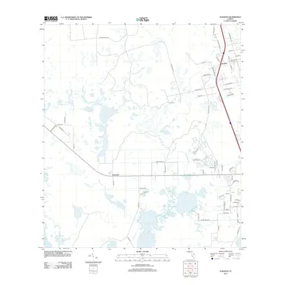
 2018 Aurantia2018 Print · USGSCovers Southmere, including Aurantia, Brevard County, and other nearby areas
 - 2021 Map of Aurantia, 2021 Print
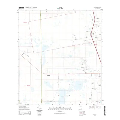
 2021 Aurantia2021 Print · USGSCovers Southmere, including Aurantia, Brevard County, and other nearby areas
 - 2024 Map of Aurantia, 2024 Print
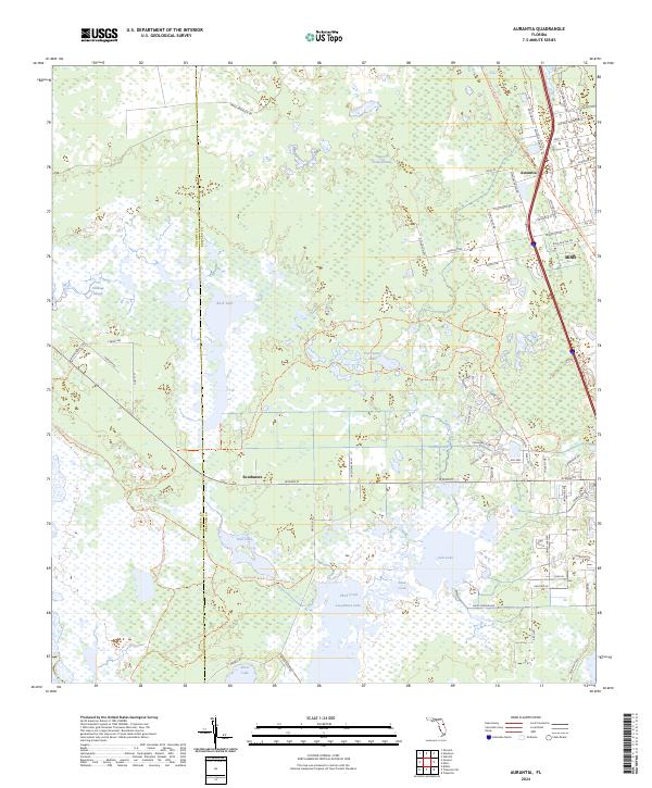 2024 Aurantia2024 Print · USGSBrevard County's wetland interior is captured here in the contemporary era, showing a landscape defined by massive conservation tracts and hidden lakes. Trace the legacy of rural settlements like Southmere and Aurantia, or follow the East Central Regional Rail Trl as it cuts through the Spruce Creek Swamp.
End of results
Showing maps 1-11 of 11
Top cities near Southmere
- Deltona historical maps
- Titusville historical maps
- Bithlo historical maps
- Wedgefield historical maps
- Oak Hill historical maps
- Christmas historical maps
Frequently asked questions
- What are the different types of historical maps available for Southmere?
- What is the oldest map of Southmere?
- Where can I purchase historical maps of Southmere for my home or office?
- Where can I download high-res historical maps of Southmere?
- Are there historical topographic maps available for Southmere?
- Is there historical aerial imagery available for Southmere?
- Where are historical maps of Southmere sourced from?