2000s (21st Century) Maps of Fort Lauderdale, Florida
Explore 20 historic maps of Fort Lauderdale from the 2000s (21st Century). These maps offer a rare glimpse into what life looked like during the 2000s — showing old roads, neighborhoods, homes, and landmarks that have changed or disappeared over time.
Whether you're researching your family's past, planning a metal detecting trip, or studying how Fort Lauderdale's landscape evolved across the 2000s, these high-resolution maps are a powerful tool for exploring the history of this region.
- Focus on a specific era: All maps on this page are from the 2000s, giving you a focused view of this time period.
- See what’s changed: Compare century-old streets, trails, and buildings to today's modern landscape using overlays and satellite layers.
- Research with precision: Use these maps for genealogy, historical research, land use analysis, or educational projects.
- View, download, or print: Maps are fully viewable online in high resolution, and can be downloaded or printed for your own records.
Start exploring Fort Lauderdale's history through authentic maps from the 2000s. This is your window into the past.
Fort Lauderdale, FL maps
(20)- 2012 Map of Fort Lauderdale South, 2012 Print
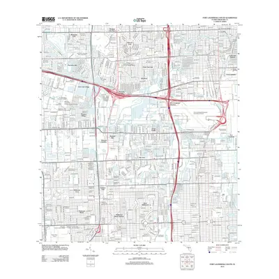 2012 Fort Lauderdale South2012 Print · USGSCovers Fort Lauderdale, including Hollywood, Davie, and other nearby areas
 - 2012 Map of Pompano Beach, 2012 Print
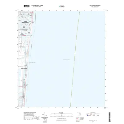
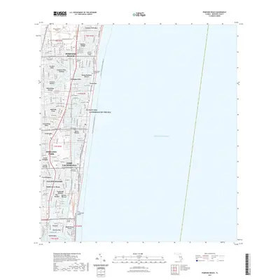
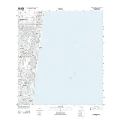 2012 Pompano Beach2012 Print · USGSCovers Fort Lauderdale, including Pompano Beach, Lauderdale-by-the-Sea, and other nearby areas
 - 2012 Map of Fort Lauderdale North, 2012 Print
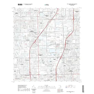
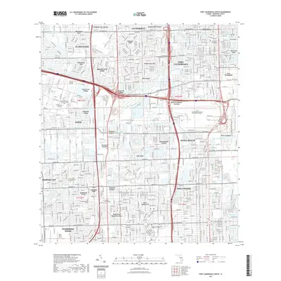
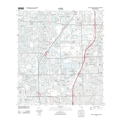 2012 Fort Lauderdale North2012 Print · USGSCovers Fort Lauderdale, including Pompano Beach, Plantation, and other nearby areas
 - 2012 Map of Port Everglades, 2012 Print
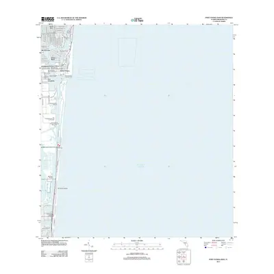 2012 Port Everglades2012 Print · USGSCovers Fort Lauderdale, including Harbor Heights, Nurmi Isles, and other nearby areas
 - 2015 Map of Fort Lauderdale North, 2015 Print
 2015 Fort Lauderdale North2015 Print · USGSCovers Fort Lauderdale, including Pompano Beach, Plantation, and other nearby areas
 - 2015 Map of Port Everglades, 2015 Print
 2015 Port Everglades2015 Print · USGSCovers Fort Lauderdale, including Harbor Heights, Nurmi Isles, and other nearby areas
 - 2015 Map of Fort Lauderdale South, 2015 Print
 2015 Fort Lauderdale South2015 Print · USGSCovers Fort Lauderdale, including Hollywood, Davie, and other nearby areas
 - 2015 Map of Pompano Beach, 2015 Print
 2015 Pompano Beach2015 Print · USGSCovers Fort Lauderdale, including Pompano Beach, Lauderdale-by-the-Sea, and other nearby areas
 - 2018 Map of Fort Lauderdale North, 2018 Print
 2018 Fort Lauderdale North2018 Print · USGSCovers Fort Lauderdale, including Pompano Beach, Plantation, and other nearby areas
 - 2018 Map of Port Everglades, 2018 Print
 2018 Port Everglades2018 Print · USGSCovers Fort Lauderdale, including Harbor Heights, Nurmi Isles, and other nearby areas
 - 2018 Map of Pompano Beach, 2018 Print
 2018 Pompano Beach2018 Print · USGSCovers Fort Lauderdale, including Pompano Beach, Lauderdale-by-the-Sea, and other nearby areas
 - 2018 Map of Fort Lauderdale South, 2018 Print
 2018 Fort Lauderdale South2018 Print · USGSCovers Fort Lauderdale, including Hollywood, Davie, and other nearby areas
 - 2021 Map of Port Everglades, 2021 Print
 2021 Port Everglades2021 Print · USGSCovers Fort Lauderdale, including Harbor Heights, Nurmi Isles, and other nearby areas
 - 2021 Map of Pompano Beach, 2021 Print
 2021 Pompano Beach2021 Print · USGSCovers Fort Lauderdale, including Pompano Beach, Lauderdale-by-the-Sea, and other nearby areas
 - 2021 Map of Fort Lauderdale North, 2021 Print
 2021 Fort Lauderdale North2021 Print · USGSCovers Fort Lauderdale, including Pompano Beach, Plantation, and other nearby areas
 - 2021 Map of Fort Lauderdale South, 2021 Print
 2021 Fort Lauderdale South2021 Print · USGSCovers Fort Lauderdale, including Hollywood, Davie, and other nearby areas
 - 2024 Map of Pompano Beach, 2024 Print
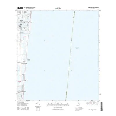
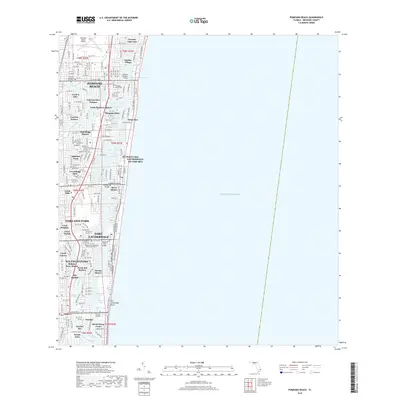
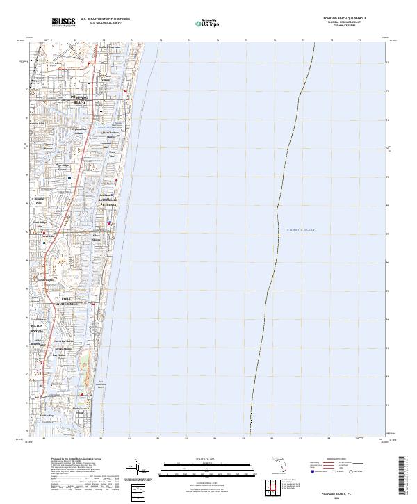 2024 Pompano Beach2024 Print · USGSCoastal Broward County shows its mature residential canal systems and waterfront neighborhoods in this recent survey. Researchers can trace the layout of Pompano Isles, locate the Lettuce Lake Burial Mound, and explore the southern reaches of Wilton Manors.
 - 2024 Map of Fort Lauderdale North, 2024 Print
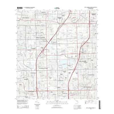
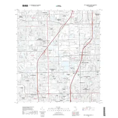
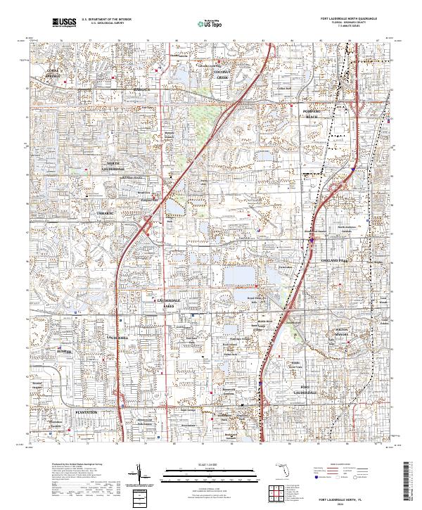 2024 Fort Lauderdale North2024 Print · USGSThe Florida interior near Fort Lauderdale is shown in high detail during its contemporary phase of dense residential and educational growth. Researchers can trace local development through the many estates and memorial sites like Sabal Palms Estates and Sunset Memorial Gardens.
 - 2024 Map of Port Everglades, 2024 Print
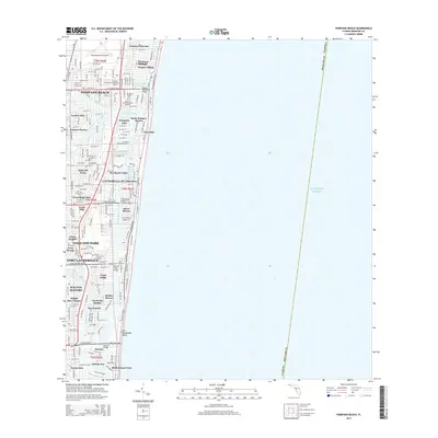
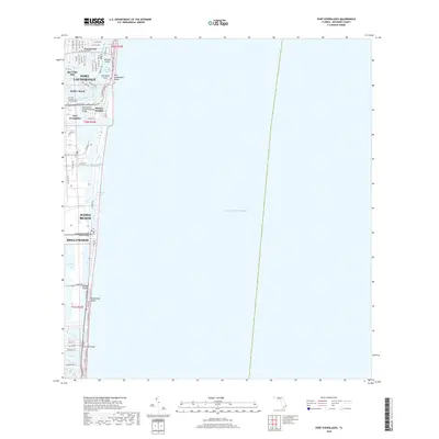
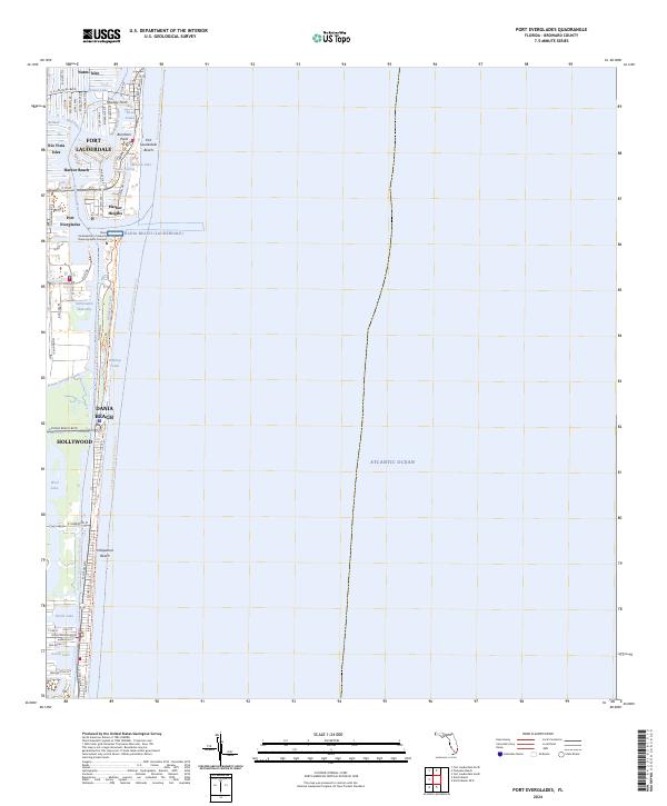 2024 Port Everglades2024 Print · USGSCoastal Broward County at the start of the 2020s shows a dense network of canal-front neighborhoods and massive port infrastructure. Genealogists and local historians can trace the development of waterfront sites from Harbor Beach down to Hollywood Beach and the industrial corridors of Port Everglades.
 - 2024 Map of Fort Lauderdale South, 2024 Print
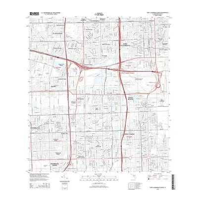
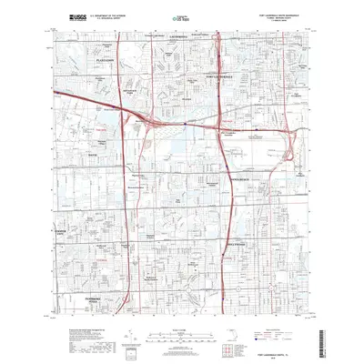
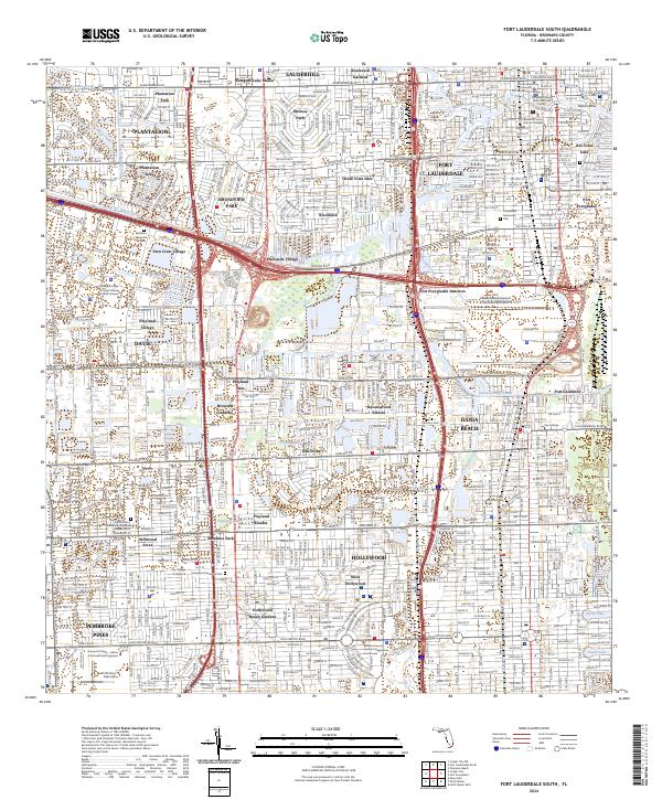 2024 Fort Lauderdale South2024 Print · USGSSouthern Florida’s intricate web of canals and urban corridors is on full display in this modern survey of the Fort Lauderdale and Hollywood area. Researchers can trace the layout of waterfront neighborhoods like Rio Vista Isles or locate local landmarks such as Evergreen Cem and the Broward County Judicial Complex.
End of results
Showing maps 1-20 of 20
Top cities near Fort Lauderdale
- Pembroke Pines historical maps
- Hollywood historical maps
- Coral Springs historical maps
- Miramar historical maps
- Pompano Beach historical maps
- Miami Gardens historical maps
See more
Top neighborhoods of Fort Lauderdale
- Rock Island historical maps
- Coral Hills historical maps
- Coral Ridge historical maps
- Coral Ridge Isles historical maps
- Harbor Beach historical maps
- North Bal Harbor historical maps
See more
Frequently asked questions
- What are the different types of historical maps available for Fort Lauderdale?
- What is the oldest map of Fort Lauderdale?
- Where can I purchase historical maps of Fort Lauderdale for my home or office?
- Where can I download high-res historical maps of Fort Lauderdale?
- Are there historical topographic maps available for Fort Lauderdale?
- Is there historical aerial imagery available for Fort Lauderdale?
- Where are historical maps of Fort Lauderdale sourced from?