2020s Maps of Citrus Springs, Florida
Explore 9 historic maps of Citrus Springs from the 2020s. These maps offer a rare glimpse into what life looked like during the 2020s — showing old roads, neighborhoods, homes, and landmarks that have changed or disappeared over time.
Whether you're researching your family's past, planning a metal detecting trip, or studying how Citrus Springs's landscape evolved across the 2020s, these high-resolution maps are a powerful tool for exploring the history of this region.
- Focus on a specific era: All maps on this page are from the 2020s, giving you a focused view of this time period.
- See what’s changed: Compare century-old streets, trails, and buildings to today's modern landscape using overlays and satellite layers.
- Research with precision: Use these maps for genealogy, historical research, land use analysis, or educational projects.
- View, download, or print: Maps are fully viewable online in high resolution, and can be downloaded or printed for your own records.
Start exploring Citrus Springs's history through authentic maps from the 2020s. This is your window into the past.
Citrus Springs, FL maps
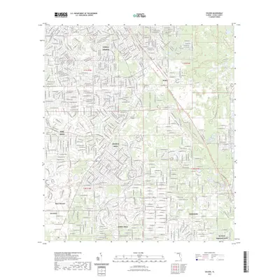
(9)- 2021 Map of Crystal River, 2021 Print
 2021 Crystal River2021 Print · USGSCovers Citrus Springs, including Crystal River, Paradise Point, and other nearby areas
 - 2021 Map of Yankeetown SE, 2021 Print
 2021 Yankeetown SE2021 Print · USGSCovers Citrus Springs, including Marion County, Citrus County, and other nearby areas
 - 2021 Map of Holder, 2021 Print
 2021 Holder2021 Print · USGSCovers Citrus Springs, including Pine Ridge, Beverly Hills, and other nearby areas
 - 2021 Map of Dunnellon, 2021 Print
 2021 Dunnellon2021 Print · USGSCovers Citrus Springs, including Rainbow Springs, Dunnellon, and other nearby areas
 - 2023 Map of Holder, 2023 Print
 2023 Holder2023 Print · USGSCovers Citrus Springs, including Pine Ridge, Beverly Hills, and other nearby areas
 - 2024 Map of Dunnellon, 2024 Print
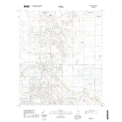
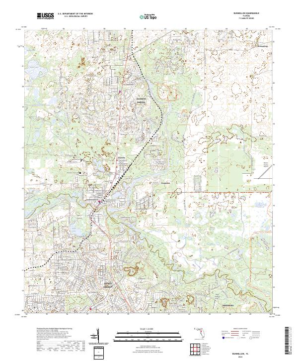 2024 Dunnellon2024 Print · USGSDunnellon and Citrus Springs appear at a time of extensive residential growth where the Withlacoochee and Rainbow Rivers meet. Local researchers can pinpoint Rockwell Cemetery, trace the trails of Rainbow Springs State Park, and locate the Seven Feathers Airport.
 - 2024 Map of Holder, 2024 Print
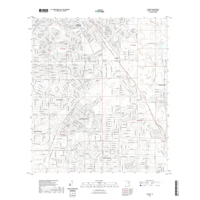
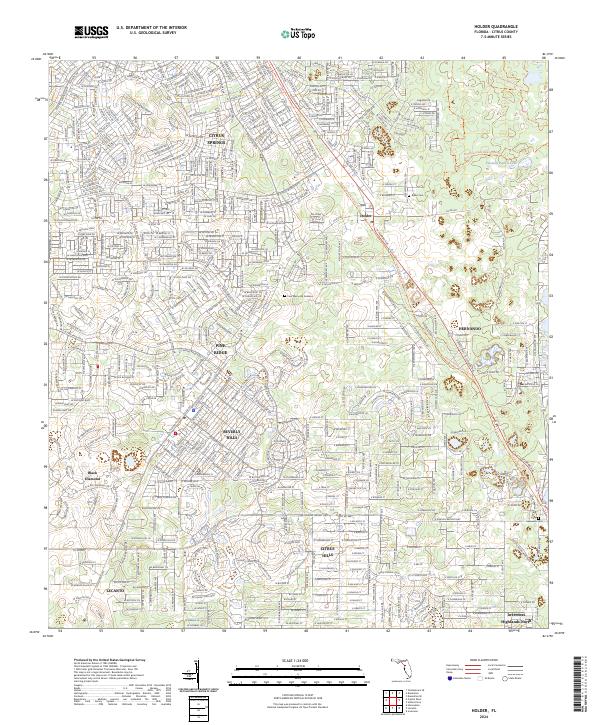 2024 Holder2024 Print · USGSCentral Citrus County is shown in this modern survey during a period of significant residential expansion. Researchers can trace the development of Beverly Hills and Pine Ridge alongside the Florida National Scenic Trl.
 - 2024 Map of Crystal River, 2024 Print
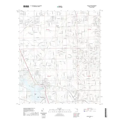
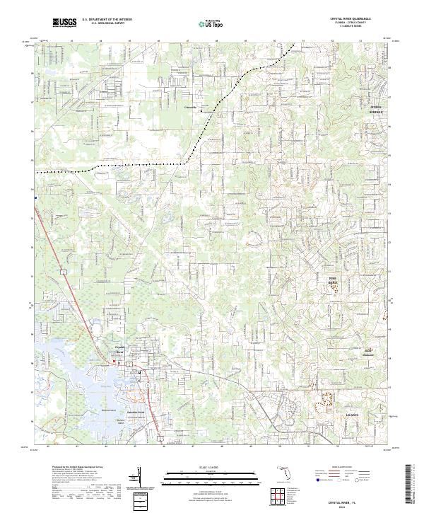 2024 Crystal River2024 Print · USGSThe Florida Gulf Coast near Crystal River is shown here during a period of extensive residential expansion and environmental conservation. Genealogists and local historians can trace family plots at Citronelle Cem or explore the waterfront history of Kings Bay and Bagley Cove.
 - 2024 Map of Yankeetown SE, 2024 Print
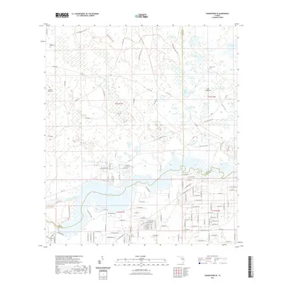
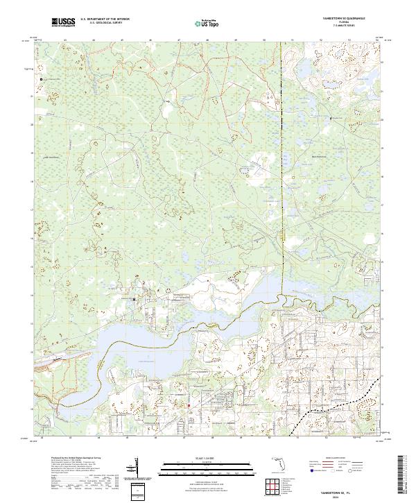 2024 Yankeetown SE2024 Print · USGSThe Florida Gulf Coast hinterlands are shown here in the mid-2020s, where the Goethe State Forest meets the Withlacoochee River. Researchers can locate family landmarks like Cedar of Lebanon Cem, Robinson Cem, and the rural J R's Airport.
End of results
Showing maps 1-9 of 9
Top cities near Citrus Springs
- Ocala historical maps
- Homosassa Springs historical maps
- Pine Ridge historical maps
- Beverly Hills historical maps
- Citrus Hills historical maps
- Hernando historical maps
See more
Frequently asked questions
- What are the different types of historical maps available for Citrus Springs?
- What is the oldest map of Citrus Springs?
- Where can I purchase historical maps of Citrus Springs for my home or office?
- Where can I download high-res historical maps of Citrus Springs?
- Are there historical topographic maps available for Citrus Springs?
- Is there historical aerial imagery available for Citrus Springs?
- Where are historical maps of Citrus Springs sourced from?