Old Maps of Citrus Springs, Florida for Academic Research
Study the evolution of Citrus Springs with 41 high-resolution historic maps. Whether you're teaching, researching, or modeling changes in land use, these maps provide essential visual documentation of urban, environmental, and geographic change.
- Analyze long-term change: Track patterns in development, transportation, and natural features.
- Ideal for environmental or urban studies: Support academic projects with primary historical map data.
- Use in the classroom or lab: Educators and researchers rely on these maps to bring historical context to life.
These maps are a powerful tool for teaching, research, and visualizing how Citrus Springs has changed over the decades.
Citrus Springs, FL maps
(41)- 1892 Map of Dunnellon
 1892 Dunnellon1892 Print · USGSMarion and Levy counties were at the center of a phosphate boom in the early 1890s, anchored by the riverfront settlement of Dunnellon. Researchers can trace the early industrial footprint of Eagle Mines, find rural community hubs like Cotton Plant, and locate historical crossings such as Fish Ferry.
 - 1894 Map of Dunnellon
 1894 Dunnellon1894 Print · USGSMarion and Citrus counties were centers of a burgeoning phosphate boom in the early 1890s, where river and rail infrastructure converged. You can trace early mining operations like the Chicago Mine and Eagle Mine alongside historic river crossings at Fisk Ferry.5 unique versions available
 - 1895 Map of Tsala Apopka
 1895 Tsala Apopka1895 Print · USGSCentral Florida's interior in the early 1890s was a landscape of citrus groves and pine hills meeting the labyrinth of the Tsala Apopka Lake system. Researchers can trace early railroad towns like Hernando and Mannfield alongside river landmarks such as Stokes Ferry and the Hamburg Mine.7 unique versions available
 - 1954 Map of Holder, 1955 Print
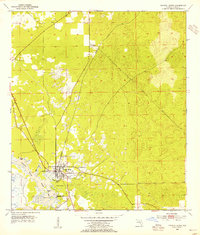
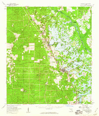
 1954 Holder1955 Print · USGSPhosphate mining and dual rail lines define this Citrus County landscape in the mid-1950s. Researchers can trace the industrial corridor from Holder to Hernando, locating numerous Mine sites and the rural Burk Cem.3 unique versions available
 - 1954 Map of Crystal River, 1955 Print
 1954 Crystal River1955 Print · USGSCrystal River and its spring-fed tributaries are captured here in the mid-fifties, showing a coastal landscape shaped by rail and water. Researchers can trace the town's early grid, the Atlantic Coast Line railroad, and landmarks like Hunter Spring or Citronelle.3 unique versions available
 - 1954 Map of Dunnellon, 1955 Print
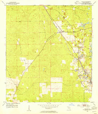
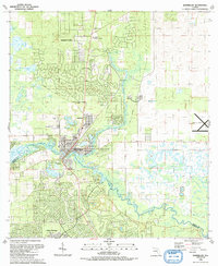
 1954 Dunnellon1955 Print · USGSDunnellon and the surrounding phosphate mining district come into sharp focus in the mid-1950s. Trace the rail-and-river history of the region through the Atlantic Coast Line, the Rockwell Cem, and the Dunnellon Airport (Abandoned).3 unique versions available
 - 1954 Map of Yankeetown SE, 1955 Print
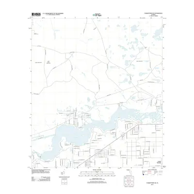
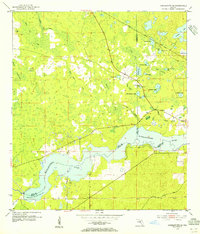 1954 Yankeetown SE1955 Print · USGSThe Florida hammock country comes into focus in the mid-1950s as the Withlacoochee River flows through the convergence of three counties. You can trace the Atlantic Coast Line rail route and locate secluded landmarks like Lebanon Cem and Dog Ear Cem.3 unique versions available
 - 1954 Map of Inverness, 1960 Print
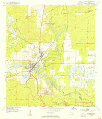
 1954 Inverness1960 Print · USGSMid-century Citrus County is defined by the intricate wetlands and island communities of the lake region. Genealogists and historians can trace the paths of the Atlantic Coast Line through Hernando or locate the Dampier Cemetery and the Poor Farm Landing Field.2 unique versions available
 - 1954 Map of Dunnellon, 1960 Print
 1954 Dunnellon1960 Print · USGSDunnellon and rural Marion County appear in the mid-1950s as a landscape of phosphate mining, railroads, and fresh water springs. Genealogists and historians can trace family locations near Zion Hill Cem, Cotton Plant, and the Circle Square Ranch.
 - 1954 Map of Gainesville, 1965 Print
 1954 Gainesville1965 Print · USGSMid-century North Central Florida comes into focus as a landscape of timber, rails, and river towns along the Gulf. Trace family roots in established centers like Gainesville or follow the path of the Suwannee River to the coastal docks of Cedar Key.3 unique versions available
 - 1955 Map of Plant City, 1966 Print
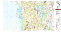
 1955 Plant City1966 Print · USGSMid-century Central Florida comes to life in this survey of the Nature Coast and the inland citrus and rail belt. Genealogists and historians can trace the paths of the Atlantic Coast Line, locate the Anclote Keys Lighthouse, or find old communities like Masaryktown and Lacoochee.6 unique versions available
 - 1958 Map of Plant City
 1958 Plant City1958 Print · USGSFlorida's Gulf Coast and inland ridge country are captured here in the mid-fifties, showing the region before modern sprawl. Genealogists and historians can trace rail-era towns like Richland and Trilby or locate coastal landmarks such as the Anclote Keys Lighthouse.
 - 1958 Map of Gainesville
 1958 Gainesville1958 Print · USGSNorth Central Florida’s rail and river networks are frozen in time just before the interstate era. Genealogists and historians can trace the paths of the Atlantic Coast Line through Gainesville or locate coastal settlements like Steinhatchee and Cedar Key.
 - 1959 Map of Plant City
 1959 Plant City1959 Print · USGSThe West Florida coast and inland timberlands are captured here in the late fifties, from the bend of the Gulf to the rail hubs of the interior. Trace the paths of the Atlantic Coast Line through Inverness and find landmarks like the Anclote Keys Lighthouse.
 - 1959 Map of Gainesville
 1959 Gainesville1959 Print · USGSNorth Florida in the mid-fifties is seen here from the Gulf coast to the inland lakes, showing the rail-and-river network before modern highways dominated. Researchers can trace the paths of the Seaboard Air Line through towns like Chiefland and Micanopy, or explore the coastal inlets of Waccasassa Bay.
 - 1964 Map of Plant City
 1964 Plant City1964 Print · USGSThe West Florida coast and its interior rail corridors come alive in this mid-sixties survey, spanning from the gulf marshes to the agricultural heartland. Researchers can trace the routes of the Atlantic Coast Line through settlements like Bushnell, Inverness, and Plant City.
 - 1978 Map of Ocala, 1980 Print
 1978 Ocala1980 Print · USGSFlorida's interior heartland and Gulf coast are seen here in the late seventies, showing the transition from freshwater springs to coastal hammocks. Genealogists and historians can trace the Seaboard Coast Line Railroad through Chiefland, Bronson, and Dunnellon.2 unique versions available
 - 1979 Map of Inverness, 1980 Print
 1979 Inverness1980 Print · USGSThe West Central Florida coastline and lake regions are captured here in the late seventies, showing the transition from Gulf marshes to the interior wetlands. Genealogists and researchers can locate family sites near Inverness or trace the early rail corridors of the Seaboard Coast Line through Wildwood and Okahumpka.2 unique versions available
 - 1991 Map of Dunnellon
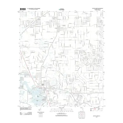
 1991 Dunnellon1991 Print · USGSDunnellon and the surrounding river country are captured here in the early nineties as suburban expansion began to meet the Florida wilderness. Genealogists can trace family names at Rockwell Cem or locate historic congregations like Beulah Ch and New Second Bethel Ch.
 - 1991 Map of Yankeetown SE
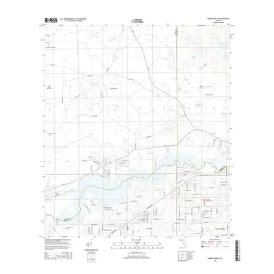
 1991 Yankeetown SE1991 Print · USGSIn the early 1990s, this area of Levy and Citrus counties showed a landscape shaped by water management and emerging residential tracts. Trace the engineering of the Barge Canal and Inglis Lock, or locate rural burial sites like Robinson Cem and Dog Ear Cem.
 - 2012 Map of Crystal River, 2012 Print
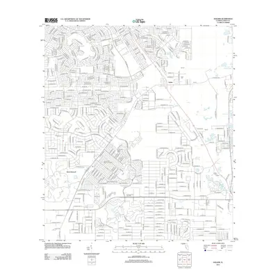
 2012 Crystal River2012 Print · USGSCovers Citrus Springs, including Crystal River, Paradise Point, and other nearby areas
 - 2012 Map of Holder, 2012 Print
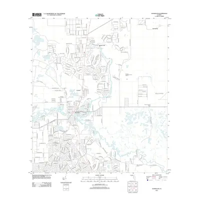
 2012 Holder2012 Print · USGSCovers Citrus Springs, including Pine Ridge, Beverly Hills, and other nearby areas
 - 2012 Map of Dunnellon, 2012 Print
 2012 Dunnellon2012 Print · USGSCovers Citrus Springs, including Rainbow Springs, Dunnellon, and other nearby areas
 - 2012 Map of Yankeetown SE, 2012 Print
 2012 Yankeetown SE2012 Print · USGSCovers Citrus Springs, including Marion County, Citrus County, and other nearby areas
 - 2015 Map of Yankeetown SE, 2015 Print
 2015 Yankeetown SE2015 Print · USGSCovers Citrus Springs, including Marion County, Citrus County, and other nearby areas
Showing maps 1-25 of 41
Top cities near Citrus Springs
- Ocala historical maps
- Homosassa Springs historical maps
- Pine Ridge historical maps
- Beverly Hills historical maps
- Citrus Hills historical maps
- Hernando historical maps
See more
Frequently asked questions
- What are the different types of historical maps available for Citrus Springs?
- What is the oldest map of Citrus Springs?
- Where can I purchase historical maps of Citrus Springs for my home or office?
- Where can I download high-res historical maps of Citrus Springs?
- Are there historical topographic maps available for Citrus Springs?
- Is there historical aerial imagery available for Citrus Springs?
- Where are historical maps of Citrus Springs sourced from?