Old Maps of Citrus County, Florida
Explore 41 old maps of Citrus County, spanning from 1892 to today. These high-resolution historic maps reveal how streets, neighborhoods, landmarks, and natural features evolved over time — perfect for genealogy, metal detecting, research, and local history exploration.
What you can do with these maps:
- See how Citrus County changed over time: Compare historical maps to modern-day views to trace roads, homesites, rail lines & more.
- View detailed metadata: Each map includes creators, publishers, year, scale, and archive source.
- Overlay maps with satellite & LiDAR: Visualize the past alongside modern tools to explore terrain & human change.
- Trusted historical sources: Maps sourced from the USGS, Library of Congress, and other archives.
- Access maps your way: View online, download high-res files, or order prints for personal or research use.
Start exploring old maps of Citrus County to uncover forgotten places, hidden landmarks, and the deep history beneath your feet.
Citrus County, FL maps
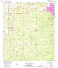
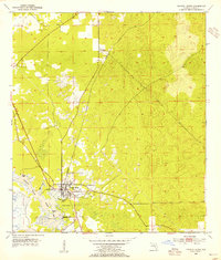
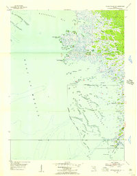
(41)- 1892 Map of Dunnellon
 1892 Dunnellon1892 Print · USGSCovers Citrus County, including Ocala, Rainbow Springs, and other nearby areas
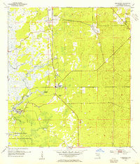
 - 1893 Map of Panasoffkee, 1958 Print
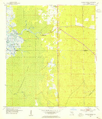
 1893 Panasoffkee1958 Print · USGSCovers Citrus County, including The Villages, Wildwood, and other nearby areas
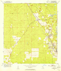
 - 1894 Map of Dunnellon
 1894 Dunnellon1894 Print · USGSCovers Citrus County, including Ocala, Rainbow Springs, and other nearby areas5 unique versions available
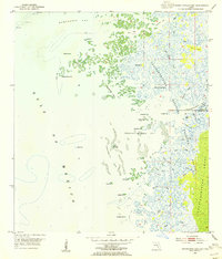
 - 1895 Map of Tsala Apopka
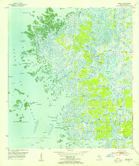
 1895 Tsala Apopka1895 Print · USGSCovers Citrus County, including Homosassa Springs, Pine Ridge, and other nearby areas7 unique versions available
 - 1895 Map of Panasoffkee
 1895 Panasoffkee1895 Print · USGSCovers Citrus County, including The Villages, Wildwood, and other nearby areas5 unique versions available
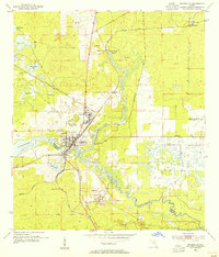
 - 1954 Map of Lecanto
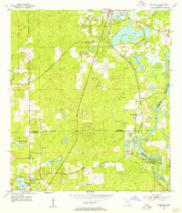
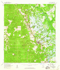
 1954 Lecanto1954 Print · USGSCovers Citrus County, including Homosassa Springs, Lecanto, and other nearby areas5 unique versions available
 - 1954 Map of Homosassa, 1955 Print
 1954 Homosassa1955 Print · USGSCovers Citrus County, including Homosassa Springs, Crystal River, and other nearby areas4 unique versions available
 - 1954 Map of Holder, 1955 Print
 1954 Holder1955 Print · USGSCovers Citrus County, including Pine Ridge, Beverly Hills, and other nearby areas3 unique versions available
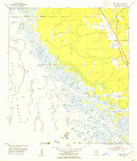
 - 1954 Map of Chassahowitzka Bay, 1955 Print
 1954 Chassahowitzka Bay1955 Print · USGSCovers Citrus County, including Hernando County, United States, and other nearby areas4 unique versions available
 - 1954 Map of Crystal River, 1955 Print
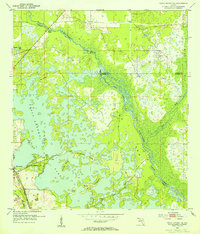
 1954 Crystal River1955 Print · USGSCovers Citrus County, including Crystal River, Paradise Point, and other nearby areas3 unique versions available
 - 1954 Map of Brooksville NW, 1955 Print
 1954 Brooksville NW1955 Print · USGSCovers Citrus County, including Catawba, Hernando County, and other nearby areas4 unique versions available
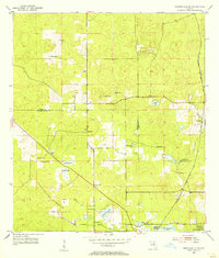
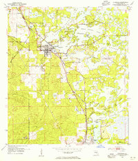
 - 1954 Map of Nobleton, 1955 Print
 1954 Nobleton1955 Print · USGSCovers Citrus County, including Hooper, Nobleton, and other nearby areas3 unique versions available
 - 1954 Map of Tsala Apopka NE, 1955 Print
 1954 Tsala Apopka NE1955 Print · USGSCovers Citrus County, including Hernando, Marion County, and other nearby areas5 unique versions available
 - 1954 Map of Chassahowitzka, 1955 Print
 1954 Chassahowitzka1955 Print · USGSCovers Citrus County, including Sugarmill Woods, Chassahowitzka, and other nearby areas4 unique versions available
 - 1954 Map of Dunnellon, 1955 Print
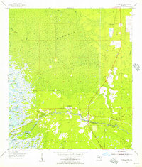
 1954 Dunnellon1955 Print · USGSCovers Citrus County, including Rainbow Springs, Dunnellon, and other nearby areas3 unique versions available
 - 1954 Map of Red Level, 1955 Print
 1954 Red Level1955 Print · USGSCovers Citrus County, including Crystal River, Red Level, and other nearby areas5 unique versions available
 - 1954 Map of Inverness, 1955 Print
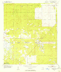
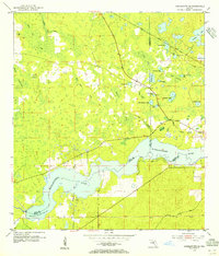
 1954 Inverness1955 Print · USGSCovers Citrus County, including Inverness, Floral City, and other nearby areas4 unique versions available
 - 1954 Map of Dunnellon SE, 1955 Print
 1954 Dunnellon SE1955 Print · USGSCovers Citrus County, including Marion County, United States, and other nearby areas2 unique versions available
 - 1954 Map of Yankeetown SE, 1955 Print
 1954 Yankeetown SE1955 Print · USGSCovers Citrus County, including Citrus Springs, Marion County, and other nearby areas3 unique versions available
 - 1954 Map of Ozello, 1955 Print
 1954 Ozello1955 Print · USGSCovers Citrus County, including Ozello, United States, and other nearby areas5 unique versions available
 - 1954 Map of Inverness, 1960 Print
 1954 Inverness1960 Print · USGSCovers Citrus County, including Homosassa Springs, Pine Ridge, and other nearby areas2 unique versions available
 - 1954 Map of Dunnellon, 1960 Print
 1954 Dunnellon1960 Print · USGSCovers Citrus County, including Ocala, Rainbow Springs, and other nearby areas
 - 1954 Map of Gainesville, 1965 Print
 1954 Gainesville1965 Print · USGSCovers Citrus County, including Gainesville, Ocala, and other nearby areas3 unique versions available
 - 1955 Map of Withlacoochee Bay, 1956 Print
 1955 Withlacoochee Bay1956 Print · USGSCovers Citrus County, including Yankeetown, Levy County, and other nearby areas4 unique versions available
 - 1955 Map of Yankeetown, 1956 Print
 1955 Yankeetown1956 Print · USGSCovers Citrus County, including Inglis, Yankeetown, and other nearby areas5 unique versions available
Showing maps 1-25 of 41
Top cities of Citrus County
- Homosassa Springs historical maps
- Sugarmill Woods historical maps
- Pine Ridge historical maps
- Beverly Hills historical maps
- Citrus Hills historical maps
- Hernando historical maps
See more
Frequently asked questions
- What are the different types of historical maps available for Citrus County?
- What is the oldest map of Citrus County?
- Where can I purchase historical maps of Citrus County for my home or office?
- Where can I download high-res historical maps of Citrus County?
- Are there historical topographic maps available for Citrus County?
- Is there historical aerial imagery available for Citrus County?
- Where are historical maps of Citrus County sourced from?