Old Maps of Lely Resort, Florida for Genealogy
Trace your family roots with 11 historic maps of Lely Resort. These high-res maps reveal old neighborhoods, homesites, landmarks, and streets — helping you uncover where your ancestors lived and how the area evolved over time.
- Explore historic neighborhoods: Identify where your relatives may have lived in the 1800s or 1900s.
- Compare maps over time: Trace the changes in streets, buildings, and landmarks for multi-generational research.
- Perfect for genealogy & ancestry research: Used by family historians and researchers to map out lineage and migration.
These maps are an incredible resource for exploring your personal connection to Lely Resort's past.
Lely Resort, FL maps
(11)- 1956 Map of West Palm Beach, 1964 Print
 1956 West Palm Beach1964 Print · USGSSouth Florida during the mid-fifties exhibits a fascinating balance between expanding coastal cities and the vast interior wetlands. Researchers can trace the development of inland settlements like Immokalee and Okeelanta or locate vanished landmarks like Chosen and Buckingham Cem.2 unique versions available
 - 1957 Map of West Palm Beach
 1957 West Palm Beach1957 Print · USGSSouthern Florida in the mid-fifties reveals a landscape defined by massive drainage canals and the early expansion of the Gold Coast. Genealogists and historians can trace industrial outposts like the Sugar plant and Everglades Labor Center, or locate the Jupiter Auxiliary Air Force Base.
 - 1958 Map of West Palm Beach
 1958 West Palm Beach1958 Print · USGSSouth Florida in the late fifties was a land of transition between massive agricultural works and rapid coastal growth. Genealogists and historians can trace old canal networks, early rail lines like the Florida East Coast, and landmarks like the Moore Haven Lock or Jupiter Auxiliary Air Force Base.2 unique versions available
 - 1958 Map of Belle Meade, 1959 Print
 1958 Belle Meade1959 Print · USGSThe Collier County coast is captured here in the late fifties, showing the interplay between tidal marshes and early settlements. Genealogists and historians can trace Old Marco Junction and Belle Meade before modern development changed the landscape.5 unique versions available
 - 1985 Map of Naples, 1986 Print
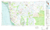 1985 Naples1986 Print · USGSCoastal Florida in the mid-eighties shows a striking contrast between the growing beachfront of Naples and the preserved wilderness of the interior. Trace the development of Golden Gate or locate historical boundaries within the Seminole Indian Reservation and Corkscrew Swamp Sanctuary.2 unique versions available
 - 1987 Map of West Palm Beach, 1988 Print
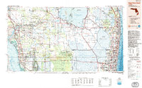 1987 West Palm Beach1988 Print · USGSSouth Florida is captured in the mid-1980s, showcasing the intricate balance between rapid coastal growth and the vast interior wetlands. Researchers can trace the drainage canals of The Everglades or locate the boundaries of the Big Cypress Seminole Indian Reservation and Loxahatchee National Wildlife Refuge.2 unique versions available
 - 2012 Map of Belle Meade, 2012 Print
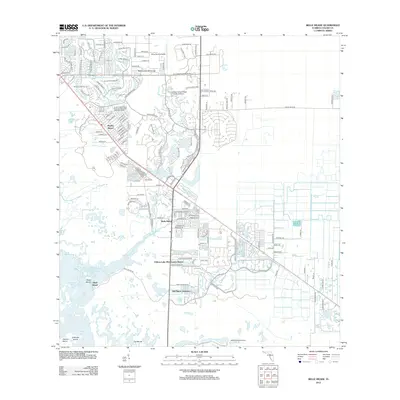 2012 Belle Meade2012 Print · USGSCollier County's coastal landscape is captured here in the early twenty-first century as suburban growth meets the Florida wetlands. Researchers can trace the development of Naples Manor, locate Old Marco Junction, and explore the shoreline of Rookery Bay.
 - 2015 Map of Belle Meade, 2015 Print
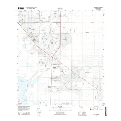 2015 Belle Meade2015 Print · USGSCoastal Collier County undergoes rapid suburban growth in the mid-2010s as developments push toward the Everglades' edge. Researchers can trace the layout of Lely Resort, the historical site of Old Marco Junction, and aviation hubs like Marco Island Airport.
 - 2018 Map of Belle Meade, 2018 Print
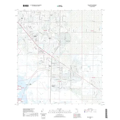 2018 Belle Meade2018 Print · USGSCollier County's suburban growth meets the Florida Gulf Coast in this late-2010s survey. Genealogists and local historians can trace the development of Naples Manor and Lely Resort alongside coastal landmarks like Old Marco Junction and Umbrella Island.
 - 2021 Map of Belle Meade, 2021 Print
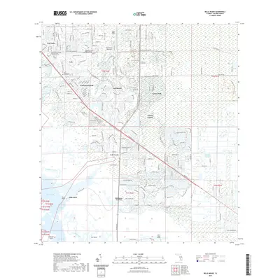 2021 Belle Meade2021 Print · USGSCoastal development meets the Everglades in this modern look at South Florida's expansion. Local historians can trace the growth of Lely Resort and Belle Meade alongside the preserves of Rookery Bay and Picayune Strand State Forest.
 - 2024 Map of Belle Meade, 2024 Print
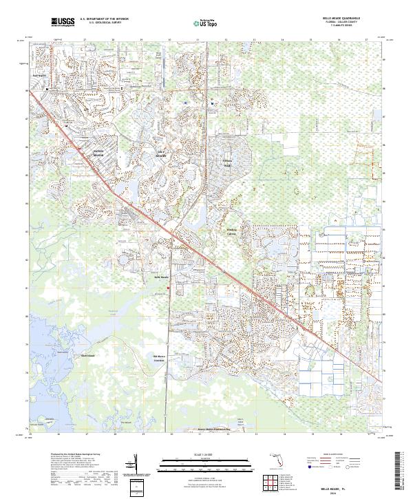 2024 Belle Meade2024 Print · USGSThe Collier County coast comes into sharp focus during this era of rapid residential growth and environmental preservation. Researchers can trace the development of Lely Resort and Verona Walk alongside the tidal reaches of Henderson Creek and Rookery Bay.
End of results
Showing maps 1-11 of 11
Top cities near Lely Resort
- Naples historical maps
- Marco Island historical maps
- Pelican Bay historical maps
- Naples Manor historical maps
- Lely historical maps
- Verona Walk historical maps
See more
Frequently asked questions
- What are the different types of historical maps available for Lely Resort?
- What is the oldest map of Lely Resort?
- Where can I purchase historical maps of Lely Resort for my home or office?
- Where can I download high-res historical maps of Lely Resort?
- Are there historical topographic maps available for Lely Resort?
- Is there historical aerial imagery available for Lely Resort?
- Where are historical maps of Lely Resort sourced from?