Old Maps of DeSoto County, Florida
Explore 26 old maps of DeSoto County, spanning from 1953 to today. These high-resolution historic maps reveal how streets, neighborhoods, landmarks, and natural features evolved over time — perfect for genealogy, metal detecting, research, and local history exploration.
What you can do with these maps:
- See how DeSoto County changed over time: Compare historical maps to modern-day views to trace roads, homesites, rail lines & more.
- View detailed metadata: Each map includes creators, publishers, year, scale, and archive source.
- Overlay maps with satellite & LiDAR: Visualize the past alongside modern tools to explore terrain & human change.
- Trusted historical sources: Maps sourced from the USGS, Library of Congress, and other archives.
- Access maps your way: View online, download high-res files, or order prints for personal or research use.
Start exploring old maps of DeSoto County to uncover forgotten places, hidden landmarks, and the deep history beneath your feet.
DeSoto County, FL maps
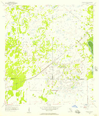
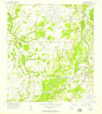
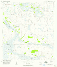
(26)- 1953 Map of Crewsville SE, 1954 Print
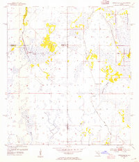 1953 Crewsville SE1954 Print · USGSCovers DeSoto County, including Negrotown Knoll, Highlands County, and other nearby areas4 unique versions available
 - 1956 Map of Gardner, 1957 Print
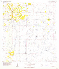
 1956 Gardner1957 Print · USGSCovers DeSoto County, including Brownville, Cubitis, and other nearby areas3 unique versions available
 - 1956 Map of Arcadia SE, 1957 Print
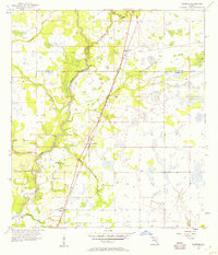
 1956 Arcadia SE1957 Print · USGSCovers DeSoto County, including Charlotte County, United States, and other nearby areas4 unique versions available
 - 1956 Map of Edgeville, 1957 Print
 1956 Edgeville1957 Print · USGSCovers DeSoto County, including Edgeville, Sandy, and other nearby areas3 unique versions available
 - 1956 Map of Murdock SE, 1957 Print
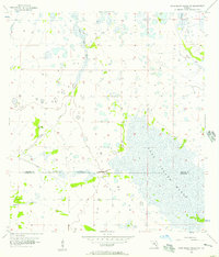
 1956 Murdock SE1957 Print · USGSCovers DeSoto County, including North Port, Deep Creek, and other nearby areas3 unique versions available
 - 1956 Map of Murdock NE, 1957 Print
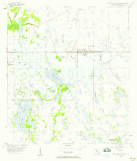
 1956 Murdock NE1957 Print · USGSCovers DeSoto County, including Sarasota County, Manatee County, and other nearby areas4 unique versions available
 - 1956 Map of Limestone, 1957 Print
 1956 Limestone1957 Print · USGSCovers DeSoto County, including Limestone, Lansing, and other nearby areas4 unique versions available
 - 1956 Map of Ft. Ogden, 1957 Print
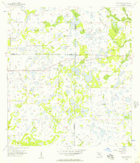
 1956 Ft. Ogden1957 Print · USGSCovers DeSoto County, including Southfort, Hull, and other nearby areas4 unique versions available
 - 1956 Map of Nocatee, 1957 Print
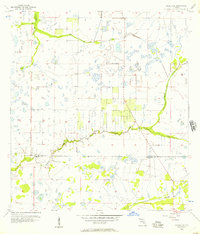
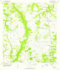
 1956 Nocatee1957 Print · USGSCovers DeSoto County, including Arcadia, Nocatee, and other nearby areas3 unique versions available
 - 1956 Map of Crewsville SW, 1957 Print
 1956 Crewsville SW1957 Print · USGSCovers DeSoto County, including Hardee County, United States, and other nearby areas3 unique versions available
 - 1956 Map of Long Island Marsh SW, 1957 Print
 1956 Long Island Marsh SW1957 Print · USGSCovers DeSoto County, including Sparkman, Charlotte County, and other nearby areas3 unique versions available
 - 1956 Map of Tampa, 1964 Print
 1956 Tampa1964 Print · USGSCovers DeSoto County, including Tampa, Saint Petersburg, and other nearby areas2 unique versions available
 - 1956 Map of Fort Pierce, 1965 Print
 1956 Fort Pierce1965 Print · USGSCovers DeSoto County, including Port Saint Lucie, Palm Bay, and other nearby areas4 unique versions available
 - 1957 Map of Long Island Marsh NW, 1958 Print
 1957 Long Island Marsh NW1958 Print · USGSCovers DeSoto County, including Joshua, United States, and other nearby areas3 unique versions available
 - 1957 Map of Long Island Marsh SE, 1958 Print
 1957 Long Island Marsh SE1958 Print · USGSCovers DeSoto County, including Charlotte County, Highlands County, and other nearby areas3 unique versions available
 - 1957 Map of Arcadia, 1958 Print
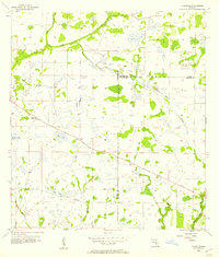
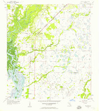
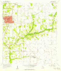 1957 Arcadia1958 Print · USGSCovers DeSoto County, including Arcadia, United States, and other nearby areas4 unique versions available
 - 1957 Map of Long Island Marsh NE, 1958 Print
 1957 Long Island Marsh NE1958 Print · USGSCovers DeSoto County, including Highlands County, United States, and other nearby areas2 unique versions available
 - 1958 Map of Fort Pierce
 1958 Fort Pierce1958 Print · USGSCovers DeSoto County, including Port Saint Lucie, Palm Bay, and other nearby areas
 - 1959 Map of Fort Pierce
 1959 Fort Pierce1959 Print · USGSCovers DeSoto County, including Port Saint Lucie, Palm Bay, and other nearby areas3 unique versions available
 - 1959 Map of Tampa
 1959 Tampa1959 Print · USGSCovers DeSoto County, including Tampa, Saint Petersburg, and other nearby areas
 - 1960 Map of Tampa
 1960 Tampa1960 Print · USGSCovers DeSoto County, including Tampa, Saint Petersburg, and other nearby areas2 unique versions available
 - 1972 Map of Tampa, 1974 Print
 1972 Tampa1974 Print · USGSCovers DeSoto County, including Tampa, Saint Petersburg, and other nearby areas
 - 1978 Map of Arcadia, 1980 Print
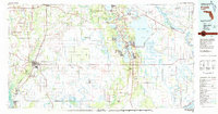 1978 Arcadia1980 Print · USGSCovers DeSoto County, including Sebring, Arcadia, and other nearby areas
 - 1979 Map of Sarasota, 1980 Print
 1979 Sarasota1980 Print · USGSCovers DeSoto County, including North Port, Bradenton, and other nearby areas
 - 1988 Map of Fort Pierce
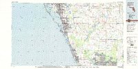
 1988 Fort Pierce1988 Print · USGSCovers DeSoto County, including Port Saint Lucie, Palm Bay, and other nearby areas
Showing maps 1-25 of 26
Top cities of DeSoto County
Frequently asked questions
- What are the different types of historical maps available for DeSoto County?
- What is the oldest map of DeSoto County?
- Where can I purchase historical maps of DeSoto County for my home or office?
- Where can I download high-res historical maps of DeSoto County?
- Are there historical topographic maps available for DeSoto County?
- Is there historical aerial imagery available for DeSoto County?
- Where are historical maps of DeSoto County sourced from?