
1957 Map of Long Island Marsh NW
USGS Topo · Published 1958About this map
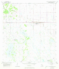
The sprawling campus of the State Hospital dominates the central landscape of this DeSoto County region, situated north of Fourmile Island. This mid-century survey captures a complex network of waterways and wetlands characteristic of the Florida interior, including the expansive Sheep Pen Marsh and winding Tiger Bay Slough. The presence of a Pumphouse and the remnants of an Old Railroad Grade cutting through the marshlands suggest an era of industrial and institutional development within the native environment.
Find a feature on this map
15 named features on this map. Tap any name to fly to it.
Don’t see what you’re looking for? This feature index may not catch every label — zoom into the map to look around manually.
Map Details
Editions of this 1957 Long Island Marsh NW Map
3 editions found
Other maps of this area

1953 · Crewsville SE
USGS Topo · 1:24,000

1956 · Gardner
USGS Topo · 1:24,000

1956 · Arcadia SE
USGS Topo · 1:24,000

1956 · Crewsville SW
USGS Topo · 1:24,000

1956 · Long Island Marsh SW
USGS Topo · 1:24,000

1956 · Fort Pierce
USGS Topo · 1:250,000

1957 · Long Island Marsh SE
USGS Topo · 1:24,000

1957 · Arcadia
USGS Topo · 1:24,000

1957 · Long Island Marsh NE
USGS Topo · 1:24,000

1958 · Fort Pierce
USGS Topo · 1:250,000