
1956 Map of Long Island Marsh SW
USGS Topo · Published 1957About this map
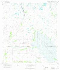
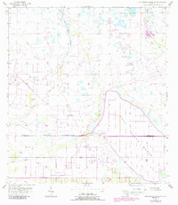
Long Island Marsh dominates this landscape on the border of DeSoto and Charlotte counties, representing a hydrologically complex environment of the mid-1950s. The map illustrates a network of drainage features common to this section of Florida, including Cow Slough, Tippen Bay Slough, and the aptly named Rattlesnake Gully. The presence of a Flowing Well near the edge of the Prairie suggests early efforts to manage water for agricultural or ranching purposes in an otherwise inundated terrain. This survey reflects the region before modern drainage and development significantly altered the natural flow of water toward the coast, capturing a period when names like Tippen Bay and Myrtle Slough defined the local geography.
Find a feature on this map
9 named features on this map. Tap any name to fly to it.
Don’t see what you’re looking for? This feature index may not catch every label — zoom into the map to look around manually.
Map Details
Editions of this 1956 Long Island Marsh SW Map
3 editions found
Other maps of this area

1956 · Arcadia SE
USGS Topo · 1:24,000

1956 · Telegraph Swamp NE
USGS Topo · 1:24,000

1956 · Telegraph Swamp NW
USGS Topo · 1:24,000

1956 · Bermont
USGS Topo · 1:24,000

1956 · West Palm Beach
USGS Topo · 1:250,000

1956 · Fort Pierce
USGS Topo · 1:250,000

1957 · West Palm Beach
USGS Topo · 1:250,000

1957 · Long Island Marsh NW
USGS Topo · 1:24,000

1957 · Long Island Marsh SE
USGS Topo · 1:24,000

1957 · Arcadia
USGS Topo · 1:24,000