Old Maps of Pineville, Florida for Academic Research
Study the evolution of Pineville with 13 high-resolution historic maps. Whether you're teaching, researching, or modeling changes in land use, these maps provide essential visual documentation of urban, environmental, and geographic change.
- Analyze long-term change: Track patterns in development, transportation, and natural features.
- Ideal for environmental or urban studies: Support academic projects with primary historical map data.
- Use in the classroom or lab: Educators and researchers rely on these maps to bring historical context to life.
These maps are a powerful tool for teaching, research, and visualizing how Pineville has changed over the decades.
Pineville, FL maps
(13)- 1942 Map of Dyas, 1965 Print
 1942 Dyas1965 Print · USGSThe borderlands of Alabama and Florida are captured here during the early 1940s, highlighting a landscape shaped by timber and the Perdido River. Genealogists can locate family landmarks like Cain Cem, Nokomis Sch, and the St Stephens and St Louis RR.2 unique versions available
 - 1944 Map of Dyas
 1944 Dyas1944 Print · USGSThe Alabama-Florida borderlands come to life in the mid-1940s, showing the rural communities and timberlands of Baldwin County. Trace old family names and landmarks like Cain Cem, New Providence Ch, and the Walnut Hill Fire Tower.2 unique versions available
 - 1957 Map of Pensacola, 1967 Print
 1957 Pensacola1967 Print · USGSThe Florida Panhandle and Alabama coast are seen here at the height of the Cold War, showcasing a unique mix of military aviation and emerging beach tourism. Genealogists and local historians can trace legacy sites like Old Corry Field, the lumber town of Bagdad, and the coastal reaches of Santa Rosa Island.3 unique versions available
 - 1959 Map of Pensacola
 1959 Pensacola1959 Print · USGSThe Florida Panhandle and Alabama coast come alive in this late fifties survey of military aviation and maritime life. Genealogists can trace family roots in Bagdad, Loxley, and Milton while mapping the rails of the Louisville and Nashville.
 - 1960 Map of Pensacola
 1960 Pensacola1960 Print · USGSThe Florida Panhandle and Alabama's eastern shore are shown during a period of rapid military and coastal growth. Genealogists and historians can trace the mid-century footprints of Warrington, the Pensacola NAS (Chevalier), and the Blackwater River timber lands.
 - 1978 Map of Walnut Hill
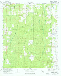 1978 Walnut Hill1978 Print · USGSThe Florida-Alabama borderlands along the Perdido River are shown here in the late seventies as a landscape of timber, rail, and rural crossroads. Researchers can locate family landmarks like Antioch Ch, the Dutch Cem, and the rail corridor of the St Louis - San Francisco.3 unique versions available
 - 1981 Map of Bay Minette
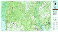 1981 Bay Minette1981 Print · USGSThe Alabama-Florida borderlands come to life in the early 1980s as the river delta meets the growing coastal communities. Researchers can trace the Louisville and Nashville rail lines or locate historical points like Twenty-two Mile Bluff and the Blackwater River State Forest.2 unique versions available
 - 2003 Map of Dyas
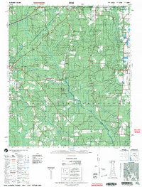 2003 Dyas2003 Print · USGSThe Alabama and Florida borderlands come to life in this early 2000s survey, showing the rural communities and timberlands of Baldwin and Escambia Counties. Genealogists and local historians can trace family roots through landmarks like New Providence Church and Perdido Cemetery or locate the small settlements of Dyas and Phillipsville.
 - 2012 Map of Walnut Hill, 2012 Print
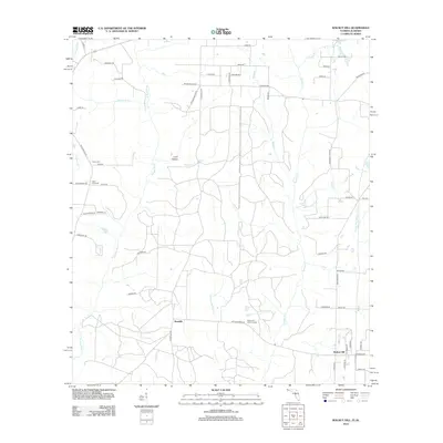 2012 Walnut Hill2012 Print · USGSThe Florida-Alabama borderlands come into focus in the early 2010s, showing the rural communities and river networks of the panhandle interior. Researchers can trace family history through landmarks like Dutch Cem, the Walnut Hill Lookout Tower, and family-named routes such as McKinley Rd.
 - 2015 Map of Walnut Hill, 2015 Print
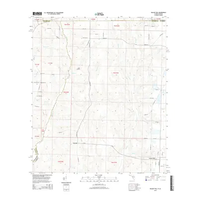 2015 Walnut Hill2015 Print · USGSThe Alabama-Florida borderlands near Atmore come into focus in this mid-2010s survey of the Perdido River valley. Researchers can locate family landmarks and burial sites like Halls Fork Cem and Dutch Cem near the historic crossroads of Pineville.
 - 2018 Map of Walnut Hill, 2018 Print
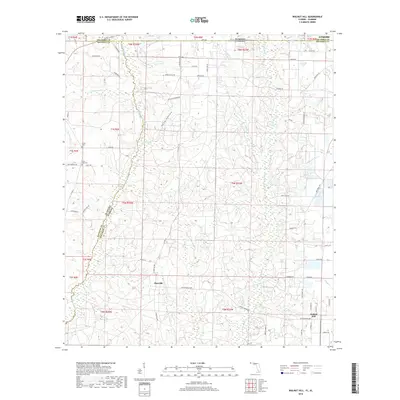 2018 Walnut Hill2018 Print · USGSThe Alabama and Florida state line meets at the winding Perdido River in this detailed survey of the Gulf Coastal Plain. Researchers can trace rural lineages through the Dutch Cem and Halls Fork Cem or locate family homesteads near Pineville and Walnut Hill.
 - 2021 Map of Walnut Hill, 2021 Print
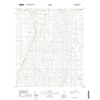 2021 Walnut Hill2021 Print · USGSThe Alabama-Florida borderlands come into focus in this recent survey, centered on the rural communities of Walnut Hill and Pineville. Genealogists can trace family heritage through local landmarks like Halls Fork Cem and the waters of Hubbard Creek.
 - 2024 Map of Walnut Hill, 2024 Print
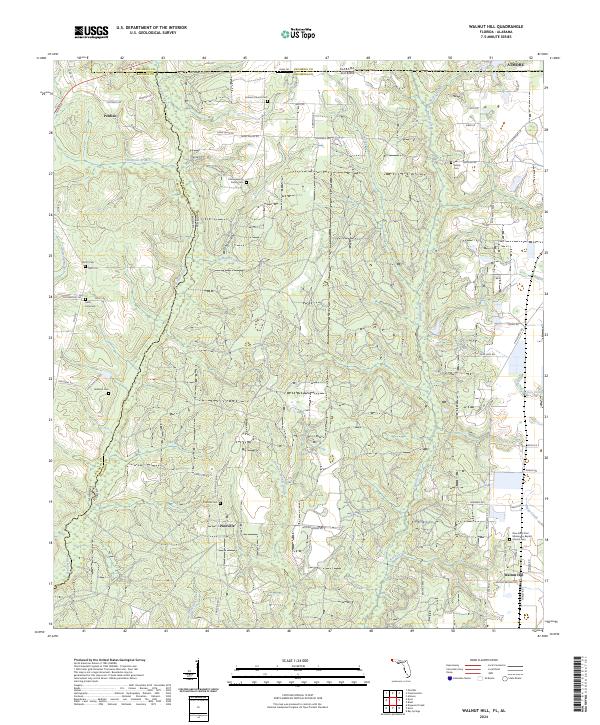 2024 Walnut Hill2024 Print · USGSThe Alabama-Florida state line follows the winding Perdido River through a landscape of quiet rural crossroads. Genealogists can trace family heritage at the Hollingsworth Family Cem, Lee Family Cem, and the settlement of Walnut Hill.
End of results
Showing maps 1-13 of 13
Top cities near Pineville
- Daphne historical maps
- Spanish Fort historical maps
- Atmore historical maps
- Bay Minette historical maps
- Loxley historical maps
- Stapleton historical maps
See more
Frequently asked questions
- What are the different types of historical maps available for Pineville?
- What is the oldest map of Pineville?
- Where can I purchase historical maps of Pineville for my home or office?
- Where can I download high-res historical maps of Pineville?
- Are there historical topographic maps available for Pineville?
- Is there historical aerial imagery available for Pineville?
- Where are historical maps of Pineville sourced from?