2000s (21st Century) Maps of Allens, Florida
Explore 5 historic maps of Allens from the 2000s (21st Century). These maps offer a rare glimpse into what life looked like during the 2000s — showing old roads, neighborhoods, homes, and landmarks that have changed or disappeared over time.
Whether you're researching your family's past, planning a metal detecting trip, or studying how Allens's landscape evolved across the 2000s, these high-resolution maps are a powerful tool for exploring the history of this region.
- Focus on a specific era: All maps on this page are from the 2000s, giving you a focused view of this time period.
- See what’s changed: Compare century-old streets, trails, and buildings to today's modern landscape using overlays and satellite layers.
- Research with precision: Use these maps for genealogy, historical research, land use analysis, or educational projects.
- View, download, or print: Maps are fully viewable online in high resolution, and can be downloaded or printed for your own records.
Start exploring Allens's history through authentic maps from the 2000s. This is your window into the past.
Allens, FL maps
(5)- 2012 Map of Gibsonton, 2012 Print
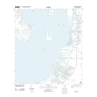 2012 Gibsonton2012 Print · USGSCovers Allens, including Tampa, Apollo Key Village, and other nearby areas
 - 2015 Map of Gibsonton, 2015 Print
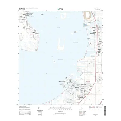 2015 Gibsonton2015 Print · USGSCovers Allens, including Tampa, Apollo Key Village, and other nearby areas
 - 2018 Map of Gibsonton, 2018 Print
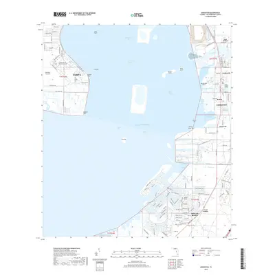 2018 Gibsonton2018 Print · USGSCovers Allens, including Tampa, Apollo Key Village, and other nearby areas
 - 2021 Map of Gibsonton, 2021 Print
 2021 Gibsonton2021 Print · USGSCovers Allens, including Tampa, Apollo Key Village, and other nearby areas
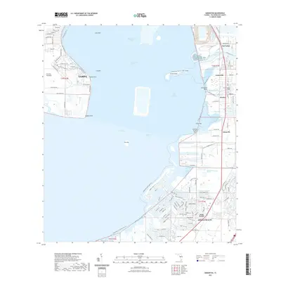
 - 2024 Map of Gibsonton, 2024 Print
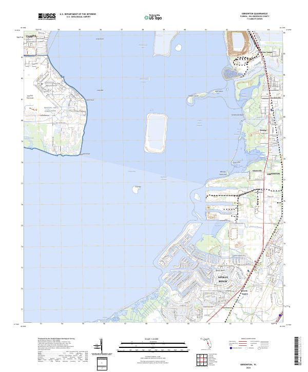 2024 Gibsonton2024 Print · USGSCoastal Hillsborough County and the eastern edge of the Interbay Peninsula appear here in the early twenty-first century. Researchers can trace the layout of MacDill Air Force Base and locate smaller settlements like Remlap, Adamsville, and Gardenville.
End of results
Showing maps 1-5 of 5
Top cities near Allens
- Tampa historical maps
- Saint Petersburg historical maps
- Brandon historical maps
- Riverview historical maps
- Temple Terrace historical maps
- Feather Sound historical maps
Frequently asked questions
- What are the different types of historical maps available for Allens?
- What is the oldest map of Allens?
- Where can I purchase historical maps of Allens for my home or office?
- Where can I download high-res historical maps of Allens?
- Are there historical topographic maps available for Allens?
- Is there historical aerial imagery available for Allens?
- Where are historical maps of Allens sourced from?