Old Maps of Boyette, Florida for Academic Research
Study the evolution of Boyette with 20 high-resolution historic maps. Whether you're teaching, researching, or modeling changes in land use, these maps provide essential visual documentation of urban, environmental, and geographic change.
- Analyze long-term change: Track patterns in development, transportation, and natural features.
- Ideal for environmental or urban studies: Support academic projects with primary historical map data.
- Use in the classroom or lab: Educators and researchers rely on these maps to bring historical context to life.
These maps are a powerful tool for teaching, research, and visualizing how Boyette has changed over the decades.
Boyette, FL maps
(20)- 1921 Map of Tampa
 1921 Tampa1921 Print · USGSCoastal Florida in the early twenties shows a landscape of growing towns and deep-water ports linked by expanding railroads. Genealogists and local historians can trace the early footprints of Ybor City, locate the Turpentine Still near Limona, and follow old routes like Bull Frog Road.
 - 1944 Map of Balm
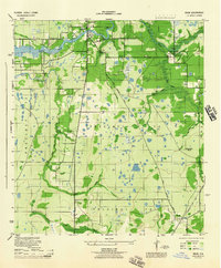 1944 Balm1944 Print · USGSHillsborough County during the mid-forties reveals a landscape of river crossings and emerging transit corridors along the Alafia River. Genealogists can trace family connections to Balm or locate early landmarks like Tripple Creek Ranch and Williams Bridge.
 - 1955 Map of Lithia, 1956 Print
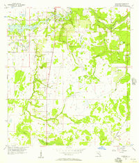
 1955 Lithia1956 Print · USGSHillsborough County phosphate country comes to life in the mid-fifties as industrial mining begins to reshape the landscape. Genealogists and local historians can trace the foundations of Lithia, the Seaboard Air Line rail stops, and landmarks like the Lithia Cem and Girl Scout Camp.4 unique versions available
 - 1956 Map of Riverview, 1957 Print
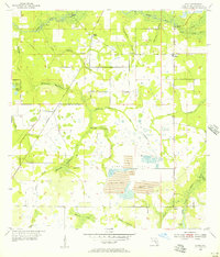
 1956 Riverview1957 Print · USGSHillsborough County during the mid-fifties is captured here as the interior begins to modernize around old rail and river routes. Trace local family roots and early infrastructure at Samford Cem, Bell Shoals Bridge, and the settlement of Balm.6 unique versions available
 - 1956 Map of Tampa, 1964 Print
 1956 Tampa1964 Print · USGSThe Florida Gulf Coast thrived in the mid-fifties, from the bustling docks of Tampa to the quiet shores of Sanibel. Genealogists and historians can trace old rail lines like the Atlantic Coast Line or find early layouts of Port Charlotte and Bokeelia.2 unique versions available
 - 1959 Map of Tampa
 1959 Tampa1959 Print · USGSThe Florida Gulf Coast appears in this late fifties survey during a period of steady coastal growth and established rail commerce. Researchers can trace historic neighborhoods and transit lines from Tampa to St Petersburg, or locate landmarks like Mac Dill AFB and Boca Grande.
 - 1960 Map of Tampa
 1960 Tampa1960 Print · USGSThe Florida Gulf Coast was undergoing a major transformation at the start of the sixties, with new bridges linking burgeoning cities across the bays. Researchers can trace the mid-century footprints of St Petersburg and Tampa, or locate coastal landmarks like Mac Dill AFB and the Sunshine Skyway.2 unique versions available
 - 1972 Map of Tampa, 1974 Print
 1972 Tampa1974 Print · USGSThe Florida Gulf Coast appears in a period of significant growth during the early seventies, from the urban centers of the bay to the quiet southern keys. Researchers can trace the expansion of St Petersburg or locate family sites near Safety Harbor, Valrico, and Boca Ciega.
 - 1981 Map of St Petersburg, 1983 Print
 1981 St Petersburg1983 Print · USGSThe Tampa Bay region is shown here in the early eighties as the urban centers of St Petersburg and Tampa expanded along the coastline. Genealogists and historians can trace rail lines like the Seaboard Coast Line and landmarks from Mac Dill Air Force Base to the Sunshine Skyway.
 - 1988 Map of St Petersburg
 1988 St Petersburg1988 Print · USGSThe Florida Gulf Coast reached a peak of late-twentieth-century development as seen in this late-1980s look at the growing corridor from St Petersburg to Port Charlotte. Researchers can trace the expansion of coastal infrastructure, including MacDill Air Force Base, the Seaboard System RR, and regional parks like Fort De Soto Park.
 - 2012 Map of Lithia, 2012 Print
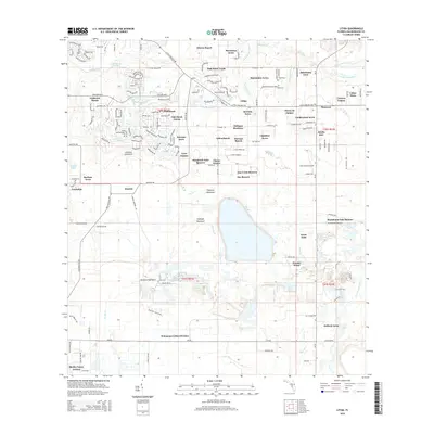
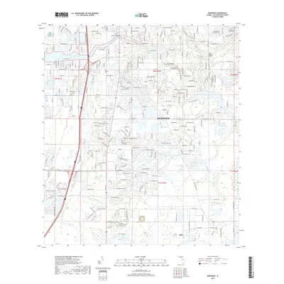
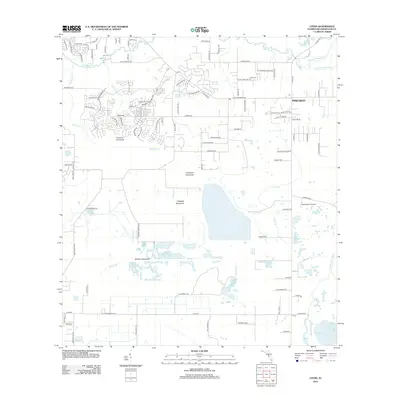 2012 Lithia2012 Print · USGSCovers Boyette, including Aldermans Ford, Hillsborough County, and other nearby areas
 - 2012 Map of Riverview, 2012 Print
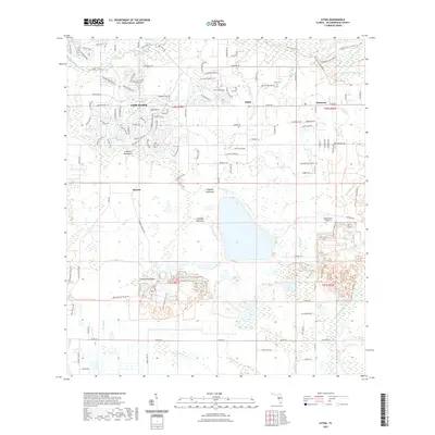
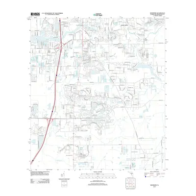 2012 Riverview2012 Print · USGSCovers Boyette, including Riverview, Alafia River Country Meadows, and other nearby areas
 - 2015 Map of Lithia, 2015 Print
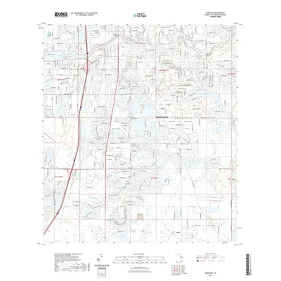
 2015 Lithia2015 Print · USGSCovers Boyette, including Aldermans Ford, Hillsborough County, and other nearby areas
 - 2015 Map of Riverview, 2015 Print
 2015 Riverview2015 Print · USGSCovers Boyette, including Riverview, Alafia River Country Meadows, and other nearby areas
 - 2018 Map of Lithia, 2018 Print
 2018 Lithia2018 Print · USGSCovers Boyette, including Aldermans Ford, Hillsborough County, and other nearby areas
 - 2018 Map of Riverview, 2018 Print
 2018 Riverview2018 Print · USGSCovers Boyette, including Riverview, Alafia River Country Meadows, and other nearby areas
 - 2021 Map of Lithia, 2021 Print
 2021 Lithia2021 Print · USGSCovers Boyette, including Aldermans Ford, Hillsborough County, and other nearby areas
 - 2021 Map of Riverview, 2021 Print
 2021 Riverview2021 Print · USGSCovers Boyette, including Riverview, Alafia River Country Meadows, and other nearby areas
 - 2024 Map of Riverview, 2024 Print
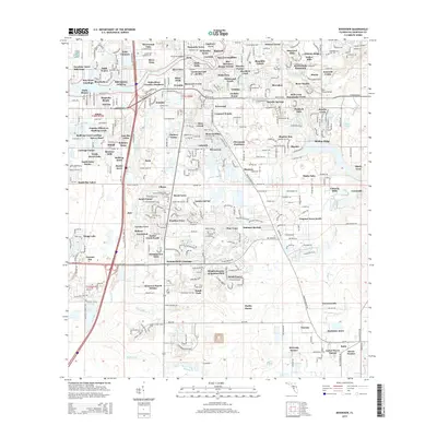
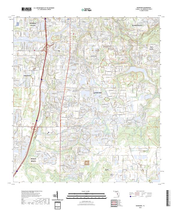 2024 Riverview2024 Print · USGSThe suburban and natural corridors of Hillsborough County come into focus in this contemporary survey of the Riverview area. Researchers can trace the sprawling residential growth alongside protected lands like the Alafia River State Park and Bell Creek Nature Preserve.
 - 2024 Map of Lithia, 2024 Print
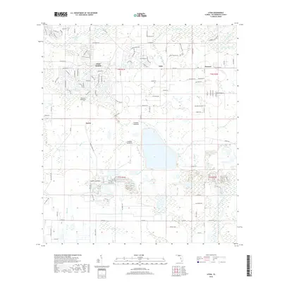
 2024 Lithia2024 Print · USGSHillsborough County's interior transition from suburban expansion to riverine wilderness is captured here in the early twenty-first century. Researchers can locate the Lithia Cem, trace the remote Stanchester Airport, and explore the winding paths of the Balm Boyette Scrub Trl.
End of results
Showing maps 1-20 of 20
Top cities near Boyette
- Tampa historical maps
- Lakeland historical maps
- Brandon historical maps
- Riverview historical maps
- Plant City historical maps
- Temple Terrace historical maps
Top neighborhoods of Boyette
Frequently asked questions
- What are the different types of historical maps available for Boyette?
- What is the oldest map of Boyette?
- Where can I purchase historical maps of Boyette for my home or office?
- Where can I download high-res historical maps of Boyette?
- Are there historical topographic maps available for Boyette?
- Is there historical aerial imagery available for Boyette?
- Where are historical maps of Boyette sourced from?