2020s Maps of Lutz, Florida
Explore 8 historic maps of Lutz from the 2020s. These maps offer a rare glimpse into what life looked like during the 2020s — showing old roads, neighborhoods, homes, and landmarks that have changed or disappeared over time.
Whether you're researching your family's past, planning a metal detecting trip, or studying how Lutz's landscape evolved across the 2020s, these high-resolution maps are a powerful tool for exploring the history of this region.
- Focus on a specific era: All maps on this page are from the 2020s, giving you a focused view of this time period.
- See what’s changed: Compare century-old streets, trails, and buildings to today's modern landscape using overlays and satellite layers.
- Research with precision: Use these maps for genealogy, historical research, land use analysis, or educational projects.
- View, download, or print: Maps are fully viewable online in high resolution, and can be downloaded or printed for your own records.
Start exploring Lutz's history through authentic maps from the 2020s. This is your window into the past.
Lutz, FL maps
(8)- 2021 Map of Lutz, 2021 Print
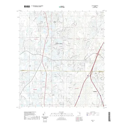 2021 Lutz2021 Print · USGSCovers Lutz, including Tampa, Dupree Gardens, and other nearby areas
 - 2021 Map of Sulphur Springs, 2021 Print
 2021 Sulphur Springs2021 Print · USGSCovers Lutz, including Tampa, Temple Terrace, and other nearby areas
 - 2021 Map of Citrus Park, 2021 Print
 2021 Citrus Park2021 Print · USGSCovers Lutz, including Rocky Ford, Plouff, and other nearby areas
 - 2021 Map of Odessa, 2021 Print
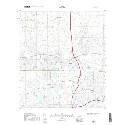 2021 Odessa2021 Print · USGSCovers Lutz, including Keystone Reserve, Clarkmere, and other nearby areas
 - 2024 Map of Lutz, 2024 Print
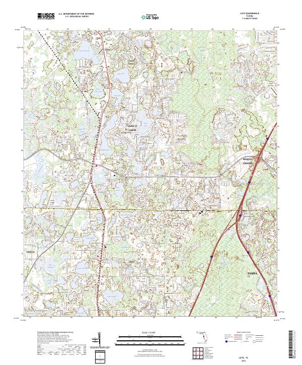 2024 Lutz2024 Print · USGSFlorida's lake country at the Pasco and Hillsborough border shows a landscape where water and modern growth meet. Trace the development of Lutz and Wesley Chapel alongside local landmarks like Dupree Gardens and the Lutz Cem.
 - 2024 Map of Citrus Park, 2024 Print
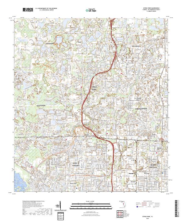 2024 Citrus Park2024 Print · USGSNorthwest Hillsborough County's lake-rich landscape is captured in the 2020s, showing the modern suburban evolution of Citrus Park and Town 'N' Country. Researchers can trace residential development around Lake Rogers or locate local landmarks like Mullis City and the Keystone United Methodist Church Cem.
 - 2024 Map of Odessa, 2024 Print
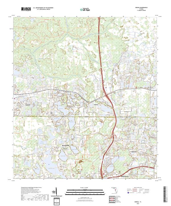 2024 Odessa2024 Print · USGSThe Pasco and Hillsborough borderlands are shown in detail as modern residential communities integrate with the region's many lakes. Local historians and genealogists can trace the development of Odessa, Keystone, and Gulf Pine alongside the Anclote River.
 - 2024 Map of Sulphur Springs, 2024 Print
 2024 Sulphur Springs2024 Print · USGSThe North Tampa corridor is captured here in the mid-2020s, showing a densely populated landscape intertwined with numerous lakes and the Hillsborough River. Genealogists and local historians can locate several memorial sites including Robles Cem and Forest Hills Presbyterian Memorial Gardens.
End of results
Showing maps 1-8 of 8
Top cities near Lutz
- Tampa historical maps
- Saint Petersburg historical maps
- Brandon historical maps
- Temple Terrace historical maps
- Oldsmar historical maps
- Dade City historical maps
See more
Top neighborhoods of Lutz
- Apex Lake Estates historical maps
- Deer Park historical maps
- Greer Ranch historical maps
- Southern Acres historical maps
- Cullaro historical maps
Frequently asked questions
- What are the different types of historical maps available for Lutz?
- What is the oldest map of Lutz?
- Where can I purchase historical maps of Lutz for my home or office?
- Where can I download high-res historical maps of Lutz?
- Are there historical topographic maps available for Lutz?
- Is there historical aerial imagery available for Lutz?
- Where are historical maps of Lutz sourced from?