Old Maps of Lamont, Florida for Metal Detecting
Plan your next treasure hunt with 10 historic maps of Lamont. Find old homesites, ghost towns, trails, and gathering spots that may be lost to time — perfect for identifying promising metal detecting locations.
- Locate forgotten sites: Uncover places like long-lost settlements, abandoned rail lines, or gathering spots.
- Plan better hunts: Use map overlays combined with LiDAR or satellite views to narrow in on historically rich areas.
- Made for detectorists: Thousands of hobbyists use these maps to discover relics, coins, and hidden history.
Use these historic maps to boost your research and find new opportunities beneath the surface of Lamont.
Lamont, FL maps
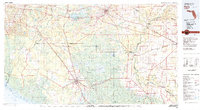
(10)- 1954 Map of Valdosta, 1967 Print
 1954 Valdosta1967 Print · USGSThe South Georgia and North Florida borderlands are captured here in the mid-fifties, showing the deep timber and wetland networks of the coastal plain. Researchers can trace the path of the Atlantic Coast Line through Valdosta or explore the interior of the Okefenokee Swamp.2 unique versions available
 - 1955 Map of Lamont, 1956 Print
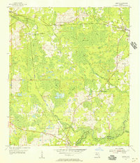 1955 Lamont1956 Print · USGSJefferson County rural life in the mid-fifties is captured here, centered on the settlements of Aucilla and Lamont. Researchers can locate family landmarks like Turkey Scratch Church, Scruggs Cemetery, and the Seaboard Air Line railroad.3 unique versions available
 - 1958 Map of Valdosta
 1958 Valdosta1958 Print · USGSSouth Georgia and North Florida are captured here in the mid-fifties, showing the vast Okefenokee Swamp and the vital timber and rail corridors connecting the two states. Researchers can locate the footprint of Moody Air Force Base, trace the Live Oak Perry and Gulf railroad, or find early community sites like Bakers Mill and Paradise Church.
 - 1959 Map of Valdosta
 1959 Valdosta1959 Print · USGSThe Georgia-Florida borderlands in the mid-fifties reveal a landscape of massive blackwater swamps and emerging military aviation hubs. Genealogists and historians can trace rail-stop towns like Fargo and Stockton or explore the interior reaches of the Okefenokee Swamp and Billys Island.
 - 1979 Map of Perry, 1980 Print
 1979 Perry1980 Print · USGSThe Florida Big Bend and Suwannee River valley are captured here in the late seventies during a period of established timber and rail activity. Genealogists and historians can trace the Live Oak Perry and South Georgia line through Scanlon or locate family roots in Dowling Park and Greenville.2 unique versions available
 - 2012 Map of Lamont, 2012 Print
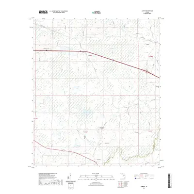
 2012 Lamont2012 Print · USGSCovers Lamont, including Aucilla, Jefferson County, and other nearby areas
 - 2015 Map of Lamont, 2015 Print
 2015 Lamont2015 Print · USGSCovers Lamont, including Aucilla, Jefferson County, and other nearby areas
 - 2018 Map of Lamont, 2018 Print
 2018 Lamont2018 Print · USGSCovers Lamont, including Aucilla, Jefferson County, and other nearby areas
 - 2021 Map of Lamont, 2021 Print
 2021 Lamont2021 Print · USGSCovers Lamont, including Aucilla, Jefferson County, and other nearby areas
 - 2024 Map of Lamont, 2024 Print
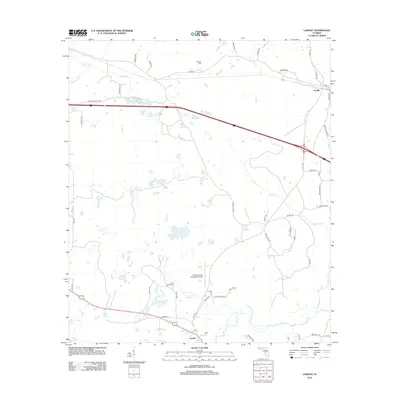
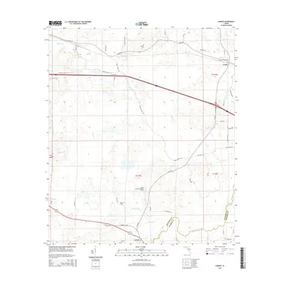
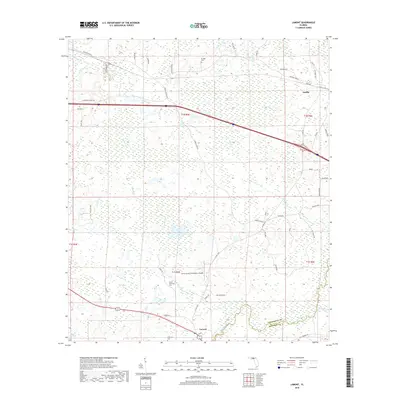
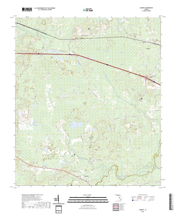 2024 Lamont2024 Print · USGSJefferson and Madison counties meet along the swampy banks of the Aucilla River in the early 2020s. Genealogists and local historians can locate several burial sites like Mount Marille Cem or trace the rural footprint of Turkey Scratch Plantation Airport.
End of results
Showing maps 1-10 of 10
Top cities near Lamont
- Monticello historical maps
- Greenville historical maps
- Wacissa historical maps
- Waukeenah historical maps
Frequently asked questions
- What are the different types of historical maps available for Lamont?
- What is the oldest map of Lamont?
- Where can I purchase historical maps of Lamont for my home or office?
- Where can I download high-res historical maps of Lamont?
- Are there historical topographic maps available for Lamont?
- Is there historical aerial imagery available for Lamont?
- Where are historical maps of Lamont sourced from?