Old Maps of Chaires, Florida for Metal Detecting
Plan your next treasure hunt with 12 historic maps of Chaires. Find old homesites, ghost towns, trails, and gathering spots that may be lost to time — perfect for identifying promising metal detecting locations.
- Locate forgotten sites: Uncover places like long-lost settlements, abandoned rail lines, or gathering spots.
- Plan better hunts: Use map overlays combined with LiDAR or satellite views to narrow in on historically rich areas.
- Made for detectorists: Thousands of hobbyists use these maps to discover relics, coins, and hidden history.
Use these historic maps to boost your research and find new opportunities beneath the surface of Chaires.
Chaires, FL maps
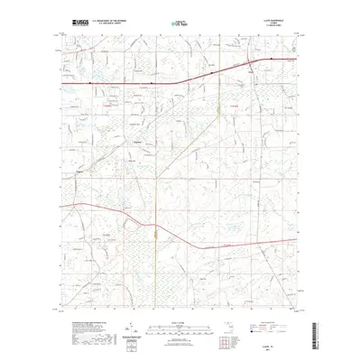
(12)- 1954 Map of Lloyd, 1955 Print
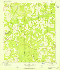 1954 Lloyd1955 Print · USGSIn the mid-1950s, the rural borderlands of Leon and Jefferson counties were a landscape of karst sinks and small rail-side hamlets. Genealogists and historians can trace the foundations of local life through landmarks like St Lukes Ch, Jones Cem, and the historic Seaboard Air Line tracks.2 unique versions available
 - 1954 Map of Tallahassee, 1967 Print
 1954 Tallahassee1967 Print · USGSThe Florida Panhandle and South Georgia are captured here during a period of mid-century growth and military expansion. Researchers can trace the development of Panama City, the footprint of Tyndall Air Force Base, and the rail lines of the Atlantic Coast Line.4 unique versions available
 - 1959 Map of Tallahassee
 1959 Tallahassee1959 Print · USGSFlorida's Panhandle and the Big Bend region appear here in the mid-fifties, showing a landscape defined by its great river systems and developing coast. Trace the early layout of Panama City, the expansive Apalachicola National Forest, and the coastal St Marks Lighthouse.
 - 1960 Map of Tallahassee
 1960 Tallahassee1960 Print · USGSThe Florida Panhandle and southern Georgia are captured here in the mid-twentieth century, showing a region defined by its rivers and military installations. Genealogists and historians can trace the growth of Tallahassee or locate coastal landmarks like the St Marks Lighthouse and Tyndall Air Force Base.
 - 1979 Map of Tallahassee, 1980 Print
 1979 Tallahassee1980 Print · USGSFlorida's capital and the Gulf coast are captured here in the late seventies, showing the region's balance between urban growth and massive protected wetlands. Researchers can trace the routes of the Apalachicola Northern Railroad or locate small inland hubs like Sopchoppy, Panacea, and Hosford.
 - 1982 Map of Lloyd, 1983 Print
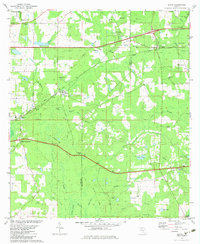 1982 Lloyd1983 Print · USGSThe Florida Panhandle's wetland and karst landscape is captured in the early eighties as rural life centered around the rail lines. Researchers can trace family history at Skipper Cemetery and St Johns Church or follow the route of the Seaboard Coast Line.
 - 1988 Map of Tallahassee
 1988 Tallahassee1988 Print · USGSThe Florida Panhandle and South Georgia are captured here in the late eighties, showing the expansion of the regional highway network and coastal growth. Genealogists and historians can trace rail lines like the Seaboard System Railroad or locate family roots in Blountstown, Graceville, or Crawfordville.2 unique versions available
 - 2012 Map of Lloyd, 2012 Print
 2012 Lloyd2012 Print · USGSCovers Chaires, including Capitola, Lloyd, and other nearby areas
 - 2015 Map of Lloyd, 2015 Print
 2015 Lloyd2015 Print · USGSCovers Chaires, including Capitola, Lloyd, and other nearby areas
 - 2018 Map of Lloyd, 2018 Print
 2018 Lloyd2018 Print · USGSCovers Chaires, including Capitola, Lloyd, and other nearby areas
 - 2021 Map of Lloyd, 2021 Print
 2021 Lloyd2021 Print · USGSCovers Chaires, including Capitola, Lloyd, and other nearby areas
 - 2024 Map of Lloyd, 2024 Print
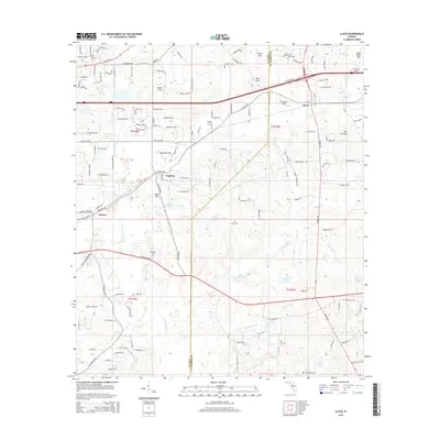
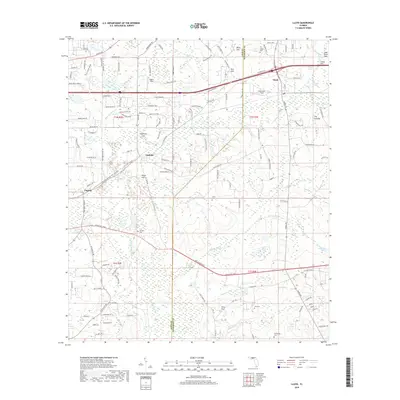
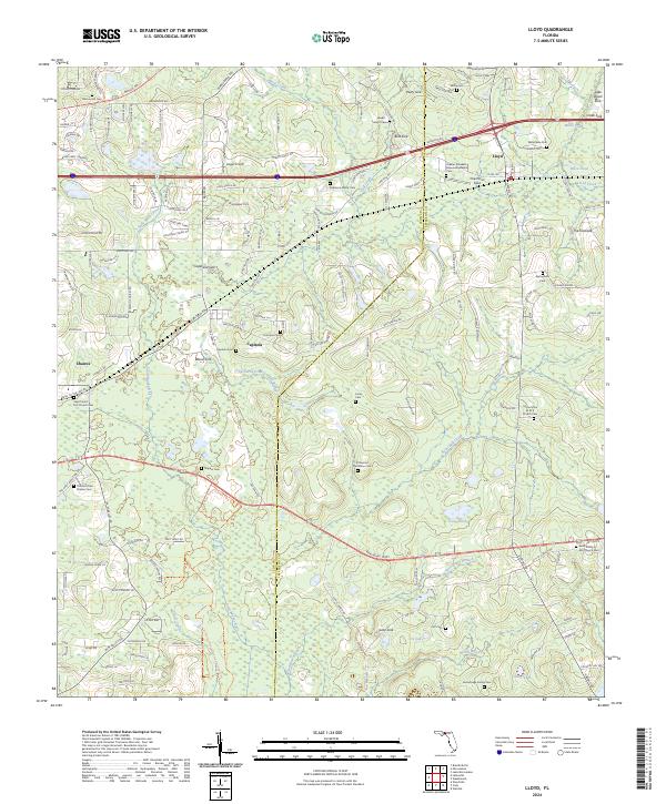 2024 Lloyd2024 Print · USGSThe Leon and Jefferson county line comes alive in this survey of the Florida panhandle's sinkhole-dotted landscape. Researchers can locate numerous family burial sites and country churches including the El Destino Plantation Cem and Greater Elizabeth Missionary Baptist Cem.
End of results
Showing maps 1-12 of 12
Top cities near Chaires
- Tallahassee historical maps
- Monticello historical maps
- Wacissa historical maps
- Waukeenah historical maps
Frequently asked questions
- What are the different types of historical maps available for Chaires?
- What is the oldest map of Chaires?
- Where can I purchase historical maps of Chaires for my home or office?
- Where can I download high-res historical maps of Chaires?
- Are there historical topographic maps available for Chaires?
- Is there historical aerial imagery available for Chaires?
- Where are historical maps of Chaires sourced from?