Old Maps of Tidewater, Florida for Hiking & Exploration
Hike through history with 11 historic maps of Tidewater. Explore old trails, ghost towns, and forgotten backroads — perfect for outdoor adventurers and local explorers.
- Rediscover forgotten places: Map out old mining camps, roads, and footpaths that no longer exist on modern maps.
- Layer with modern tools: Combine with LiDAR or satellite views to plan hikes through historical terrain.
- Made for exploration: Popular among hikers, overlanders, and local history lovers.
Use these maps to find adventure and explore the hidden past of Tidewater.
Tidewater, FL maps
(11)- 1954 Map of Gainesville, 1965 Print
 1954 Gainesville1965 Print · USGSMid-century North Central Florida comes into focus as a landscape of timber, rails, and river towns along the Gulf. Trace family roots in established centers like Gainesville or follow the path of the Suwannee River to the coastal docks of Cedar Key.3 unique versions available
 - 1955 Map of Tidewater, 1956 Print
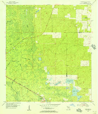 1955 Tidewater1956 Print · USGSLevy County's forested wetlands and rail corridors are captured here in the mid-fifties, centered on the settlement of Tidewater. Researchers can trace the Atlantic Coast Line railroad and locate rural landmarks like Sand Pond Cem and Tiger Lake.3 unique versions available
 - 1958 Map of Gainesville
 1958 Gainesville1958 Print · USGSNorth Central Florida’s rail and river networks are frozen in time just before the interstate era. Genealogists and historians can trace the paths of the Atlantic Coast Line through Gainesville or locate coastal settlements like Steinhatchee and Cedar Key.
 - 1959 Map of Gainesville
 1959 Gainesville1959 Print · USGSNorth Florida in the mid-fifties is seen here from the Gulf coast to the inland lakes, showing the rail-and-river network before modern highways dominated. Researchers can trace the paths of the Seaboard Air Line through towns like Chiefland and Micanopy, or explore the coastal inlets of Waccasassa Bay.
 - 1978 Map of Ocala, 1980 Print
 1978 Ocala1980 Print · USGSFlorida's interior heartland and Gulf coast are seen here in the late seventies, showing the transition from freshwater springs to coastal hammocks. Genealogists and historians can trace the Seaboard Coast Line Railroad through Chiefland, Bronson, and Dunnellon.2 unique versions available
 - 1991 Map of Tidewater
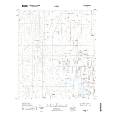
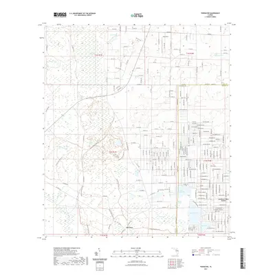
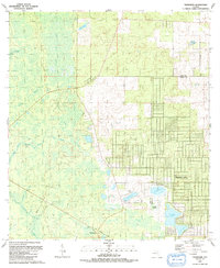 1991 Tidewater1991 Print · USGSLevy and Marion County's borderlands appear here in the early nineties, showing a mix of established wetlands and new residential planning. Genealogists and hikers can trace the Old Railroad Grade past Tidewater or locate the Sand Pond Cem near Sand Slough.
 - 2012 Map of Tidewater, 2012 Print
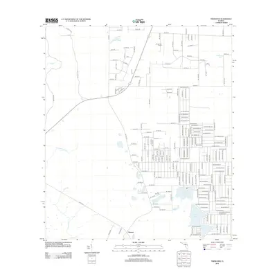 2012 Tidewater2012 Print · USGSCovers Tidewater, including Marion County, Levy County, and other nearby areas
 - 2015 Map of Tidewater, 2015 Print
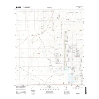 2015 Tidewater2015 Print · USGSCovers Tidewater, including Marion County, Levy County, and other nearby areas
 - 2018 Map of Tidewater, 2018 Print
 2018 Tidewater2018 Print · USGSCovers Tidewater, including Marion County, Levy County, and other nearby areas
 - 2021 Map of Tidewater, 2021 Print
 2021 Tidewater2021 Print · USGSCovers Tidewater, including Marion County, Levy County, and other nearby areas
 - 2024 Map of Tidewater, 2024 Print
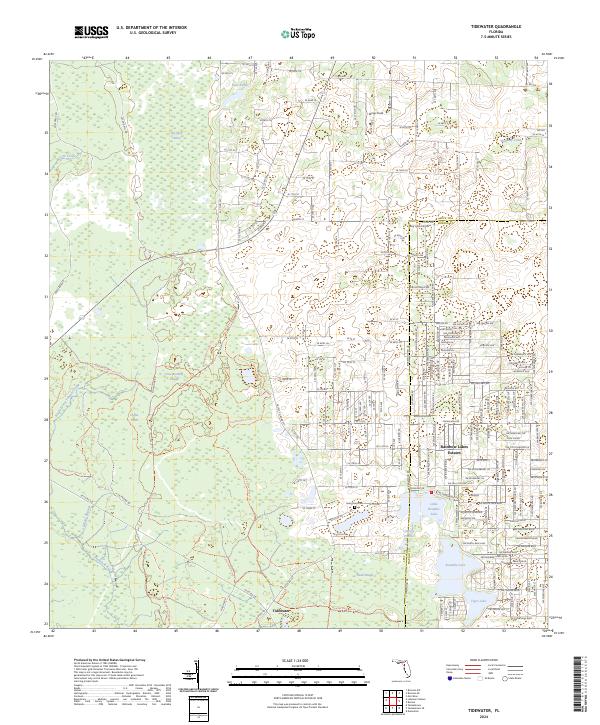 2024 Tidewater2024 Print · USGSLevy County's wetlands and rising residential grids meet in this recent survey of the Florida interior. Researchers can locate the Sand Pond Cem or trace the winding waters of Crow Rookery Slough and Tenmile Creek.
End of results
Showing maps 1-11 of 11
Top cities near Tidewater
- Pine Ridge historical maps
- Beverly Hills historical maps
- Rainbow Springs historical maps
- Crystal River historical maps
- Williston historical maps
- Dunnellon historical maps
See more
Frequently asked questions
- What are the different types of historical maps available for Tidewater?
- What is the oldest map of Tidewater?
- Where can I purchase historical maps of Tidewater for my home or office?
- Where can I download high-res historical maps of Tidewater?
- Are there historical topographic maps available for Tidewater?
- Is there historical aerial imagery available for Tidewater?
- Where are historical maps of Tidewater sourced from?