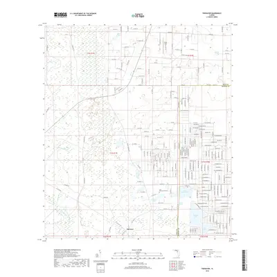
2018 Map of Tidewater
USGS Topo · Published 2018About this map
The settlement of Tidewater sits at the southern edge of this West Central Florida landscape, where the boundary between Levy Co and Marion Co meets a complex network of wetlands and freshwater basins. The terrain is defined by a series of distinct water bodies and hydrologic features, including the clustered waters of Bonable Lake, Little Bonable Lake, and Tiger Lake in the southeast. Further north, the landscape transitions into unique ecological areas such as Cypress Prairie and the evocative Crow Rookery Slough. Smaller drainage systems like Coffee Creek and Sapling Br weave through the region, punctuated by isolated features like Big Wolf Arbor and Race Pond. This modern survey records the area's intricate balance between the expanding residential street grids on the eastern side and the extensive, preserved marshlands to the west.
Find a feature on this map
107 named features on this map. Tap any name to fly to it.
Don’t see what you’re looking for? This feature index may not catch every label — zoom into the map to look around manually.
Map Details
Editions of this 2018 Tidewater Map
This is the sole edition of this map. No revisions or reprints were ever made.
Other maps of this area
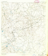
1892 · Dunnellon
USGS Topo · 1:62,500
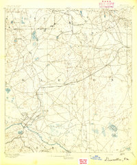
1894 · Dunnellon
USGS Topo · 1:62,500
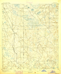
1895 · Williston
USGS Topo · 1:62,500
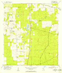
1954 · Romeo
USGS Topo · 1:24,000
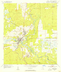
1954 · Dunnellon
USGS Topo · 1:24,000
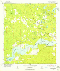
1954 · Yankeetown SE
USGS Topo · 1:24,000
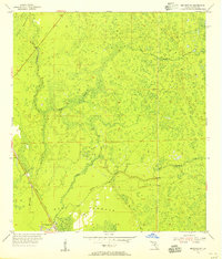
1954 · Bronson SW
USGS Topo · 1:24,000

1954 · Dunnellon
USGS Topo · 1:62,500
1954 · Gainesville
USGS Topo · 1:250,000
1955 · Lebanon Station
USGS Topo · 1:24,000