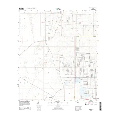
2015 Map of Tidewater
USGS Topo · Published 2015About this map
Tidewater sits at the intersection of a complex hydrologic network and a growing residential grid along the border of Levy and Marion Counties. The landscape is defined by its numerous water bodies, including the significant Bonable Lake and Little Bonable Lake to the south, and the expansive Cypress Prairie which hints at the low-lying, wetland character of the region. Local history is anchored by the Sand Pond Cem, located near the namesake Sand Pond, while the presence of Wings Field reflects local aviation activity.
Find a feature on this map
194 named features on this map. Tap any name to fly to it.
Don’t see what you’re looking for? This feature index may not catch every label — zoom into the map to look around manually.
Map Details
Editions of this 2015 Tidewater Map
This is the sole edition of this map. No revisions or reprints were ever made.
Other maps of this area
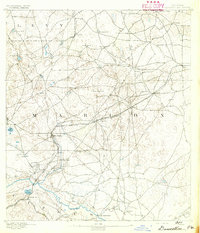
1892 · Dunnellon
USGS Topo · 1:62,500
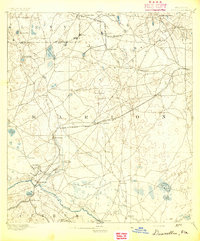
1894 · Dunnellon
USGS Topo · 1:62,500
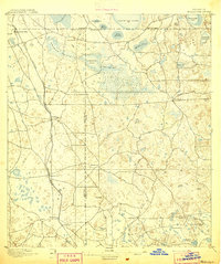
1895 · Williston
USGS Topo · 1:62,500
1954 · Romeo
USGS Topo · 1:24,000
1954 · Dunnellon
USGS Topo · 1:24,000
1954 · Yankeetown SE
USGS Topo · 1:24,000
1954 · Bronson SW
USGS Topo · 1:24,000

1954 · Dunnellon
USGS Topo · 1:62,500
1954 · Gainesville
USGS Topo · 1:250,000
1955 · Lebanon Station
USGS Topo · 1:24,000