Old Maps of Manatee County, Florida
Explore 51 old maps of Manatee County, spanning from 1921 to today. These high-resolution historic maps reveal how streets, neighborhoods, landmarks, and natural features evolved over time — perfect for genealogy, metal detecting, research, and local history exploration.
What you can do with these maps:
- See how Manatee County changed over time: Compare historical maps to modern-day views to trace roads, homesites, rail lines & more.
- View detailed metadata: Each map includes creators, publishers, year, scale, and archive source.
- Overlay maps with satellite & LiDAR: Visualize the past alongside modern tools to explore terrain & human change.
- Trusted historical sources: Maps sourced from the USGS, Library of Congress, and other archives.
- Access maps your way: View online, download high-res files, or order prints for personal or research use.
Start exploring old maps of Manatee County to uncover forgotten places, hidden landmarks, and the deep history beneath your feet.
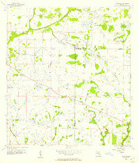
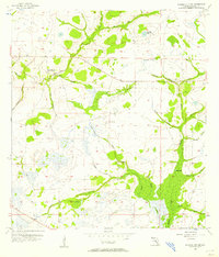
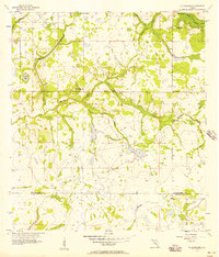
Manatee County, FL maps
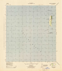
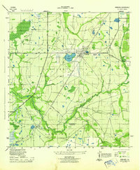
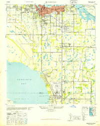
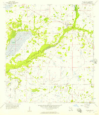
(51)- 1921 Map of Fort De Soto
 1921 Fort De Soto1921 Print · USGSCovers Manatee County, including Saint Petersburg, Bradenton, and other nearby areas2 unique versions available
 - 1942 Map of Cockroach Bay
 1942 Cockroach Bay1942 Print · USGSCovers Manatee County, including Saint Petersburg, Piney Point, and other nearby areas
 - 1944 Map of Egmont Key
 1944 Egmont Key1944 Print · USGSCovers Manatee County, including Hillsborough County, United States, and other nearby areas2 unique versions available
 - 1944 Map of Anna Maria
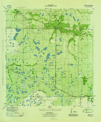
 1944 Anna Maria1944 Print · USGSCovers Manatee County, including Bradenton, Holmes Beach, and other nearby areas2 unique versions available
 - 1944 Map of Ruskin
 1944 Ruskin1944 Print · USGSCovers Manatee County, including River Shore Farms, Gulf City, and other nearby areas
 - 1944 Map of Rye
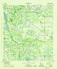
 1944 Rye1944 Print · USGSCovers Manatee County, including Rye, Manhattan, and other nearby areas2 unique versions available
 - 1944 Map of Lower Myakka Lake
 1944 Lower Myakka Lake1944 Print · USGSCovers Manatee County, including Venice, Honore, and other nearby areas2 unique versions available
 - 1944 Map of Wimauma
 1944 Wimauma1944 Print · USGSCovers Manatee County, including Arbors at Freedom Plaza, Willow, and other nearby areas
 - 1944 Map of Verna
 1944 Verna1944 Print · USGSCovers Manatee County, including Waterbury, Bethany, and other nearby areas2 unique versions available
 - 1944 Map of Lorraine
 1944 Lorraine1944 Print · USGSCovers Manatee County, including Bradenton, Foxleigh, and other nearby areas2 unique versions available
 - 1944 Map of Ellenton
 1944 Ellenton1944 Print · USGSCovers Manatee County, including Bradenton, Palmetto, and other nearby areas2 unique versions available
 - 1944 Map of Parish
 1944 Parish1944 Print · USGSCovers Manatee County, including Bradenton, Parrish, and other nearby areas2 unique versions available
 - 1944 Map of Bradenton Beach
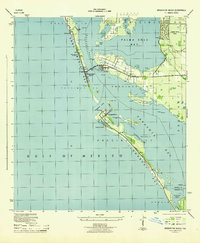 1944 Bradenton Beach1944 Print · USGSCovers Manatee County, including Bradenton, Longboat Key, and other nearby areas2 unique versions available
 - 1944 Map of Miakka
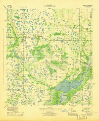 1944 Miakka1944 Print · USGSCovers Manatee County, including Miakka, Hidden River, and other nearby areas3 unique versions available
 - 1945 Map of Cockroach Bay
 1945 Cockroach Bay1945 Print · USGSCovers Manatee County, including Saint Petersburg, Piney Point, and other nearby areas
 - 1947 Map of Cockroach Bay
 1947 Cockroach Bay1947 Print · USGSCovers Manatee County, including Saint Petersburg, Piney Point, and other nearby areas
 - 1947 Map of Ruskin
 1947 Ruskin1947 Print · USGSCovers Manatee County, including River Shore Farms, Gulf City, and other nearby areas
 - 1947 Map of Wimauma
 1947 Wimauma1947 Print · USGSCovers Manatee County, including Arbors at Freedom Plaza, Willow, and other nearby areas
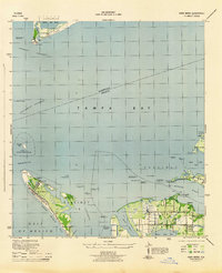
 - 1947 Map of Bradenton
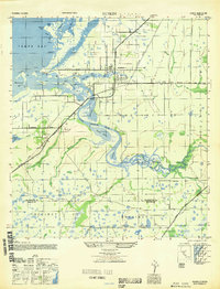
 1947 Bradenton1947 Print · USGSCovers Manatee County, including Bradenton, Sarasota, and other nearby areas
 - 1956 Map of Myakka City, 1957 Print
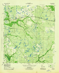
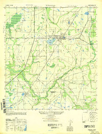
 1956 Myakka City1957 Print · USGSCovers Manatee County, including Myakka City, Parmalee, and other nearby areas5 unique versions available
 - 1956 Map of Edgeville, 1957 Print
 1956 Edgeville1957 Print · USGSCovers Manatee County, including Edgeville, Sandy, and other nearby areas3 unique versions available
 - 1956 Map of Myakka City NW, 1957 Print
 1956 Myakka City NW1957 Print · USGSCovers Manatee County, including United States, Florida, and other nearby areas3 unique versions available
 - 1956 Map of Ft Lonesome, 1957 Print
 1956 Ft Lonesome1957 Print · USGSCovers Manatee County, including Alderman-Carlton Ranchettes, Fort Lonesome, and other nearby areas4 unique versions available
 - 1956 Map of Murdock NE, 1957 Print
 1956 Murdock NE1957 Print · USGSCovers Manatee County, including Sarasota County, DeSoto County, and other nearby areas4 unique versions available
 - 1956 Map of Myakka Head, 1957 Print
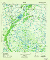
 1956 Myakka Head1957 Print · USGSCovers Manatee County, including Myakka Head, Hardee County, and other nearby areas4 unique versions available
Showing maps 1-25 of 51
Top cities of Manatee County
- Bradenton historical maps
- Palmetto historical maps
- Myakka City historical maps
- Holmes Beach historical maps
- Anna Maria island historical maps
Frequently asked questions
- What are the different types of historical maps available for Manatee County?
- What is the oldest map of Manatee County?
- Where can I purchase historical maps of Manatee County for my home or office?
- Where can I download high-res historical maps of Manatee County?
- Are there historical topographic maps available for Manatee County?
- Is there historical aerial imagery available for Manatee County?
- Where are historical maps of Manatee County sourced from?