
1956 Map of Edgeville
USGS Topo · Published 1957About this map
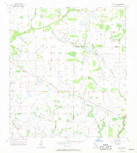
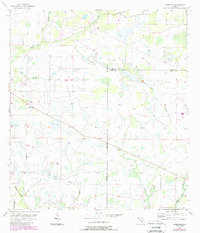
Edgeville and Sandy appear as small, isolated communities in this mid-century survey of the Florida interior, located along the border of Manatee and De Soto counties. The landscape is characterized by a complex network of wetlands and seasonal watercourses, including Wildcat Slough and Sand Branch, which thread through the flat pine and palmetto terrain. This environment dictated the early settlement patterns, with development clinging to slightly elevated ground away from numerous depression features like Dog Pond, Rozy Pond, and Long Pond. Transport through this cattle-country frontier follows established dirt routes and unimproved roads, such as the path toward Buzzard Roost Branch, providing a look at rural life before large-scale agricultural drainage and modern highways transformed the region. The mapping reflects a period when planetary surveys still relied on local landmarks and topographic benchmarks to define the remote stretches of central Florida.
Find a feature on this map
10 named features on this map. Tap any name to fly to it.
Don’t see what you’re looking for? This feature index may not catch every label — zoom into the map to look around manually.
Map Details
Editions of this 1956 Edgeville Map
3 editions found
Other maps of this area

1956 · Ona
USGS Topo · 1:24,000

1956 · Myakka City
USGS Topo · 1:24,000

1956 · Myakka City NW
USGS Topo · 1:24,000

1956 · Murdock NE
USGS Topo · 1:24,000

1956 · Myakka Head
USGS Topo · 1:24,000

1956 · Limestone
USGS Topo · 1:24,000

1956 · Nocatee
USGS Topo · 1:24,000

1956 · Murdock NW
USGS Topo · 1:24,000

1956 · Tampa
USGS Topo · 1:250,000

1956 · Fort Pierce
USGS Topo · 1:250,000