
1956 Map of Murdock NE
USGS Topo · Published 1957About this map
Bud Slough and Wildcat Slough define the wet, low-lying character of this interior Florida landscape during the mid-1950s. The map illustrates a transitional period for the region where three counties—Manatee, Sarasota, and DeSoto—meet amidst a network of drainage features and intermittent waterways. A notable landmark for local historians is the Pine Level Ch, situated in the upper right corner near the winding Buzzard Roost Branch.
Find a feature on this map
10 named features on this map. Tap any name to fly to it.
Don’t see what you’re looking for? This feature index may not catch every label — zoom into the map to look around manually.
Map Details
Editions of this 1956 Murdock NE Map
4 editions found
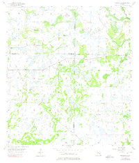
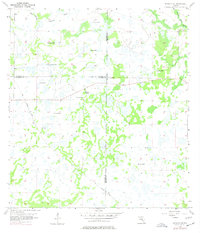
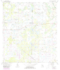
Other maps of this area

1956 · Murdock
USGS Topo · 1:24,000

1956 · Myakka City
USGS Topo · 1:24,000

1956 · Edgeville
USGS Topo · 1:24,000

1956 · Murdock SE
USGS Topo · 1:24,000

1956 · Limestone
USGS Topo · 1:24,000

1956 · Ft. Ogden
USGS Topo · 1:24,000

1956 · Nocatee
USGS Topo · 1:24,000

1956 · Murdock NW
USGS Topo · 1:24,000

1956 · Tampa
USGS Topo · 1:250,000

1956 · Fort Pierce
USGS Topo · 1:250,000