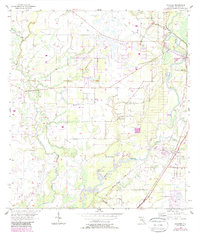
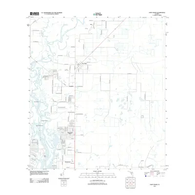
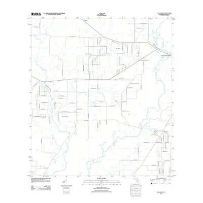
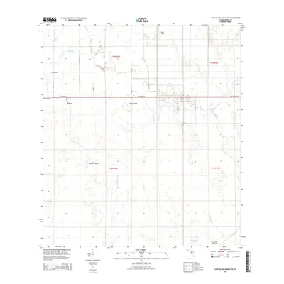
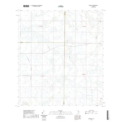
1956 Map of Murdock NE
USGS Topo · Published 1987About this map
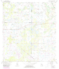
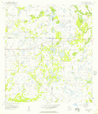
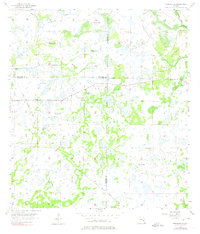
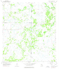
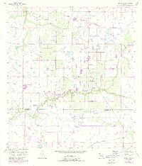
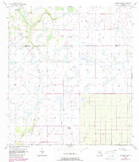
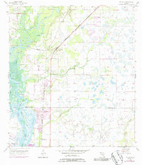
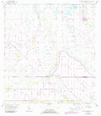
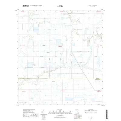
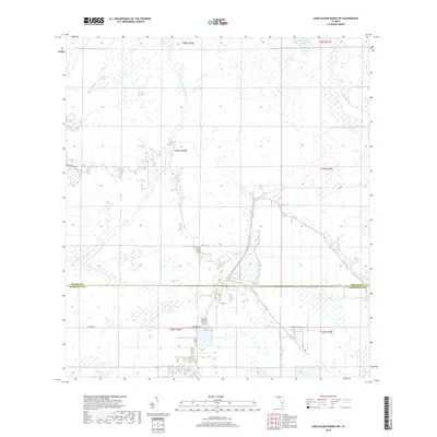
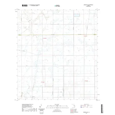
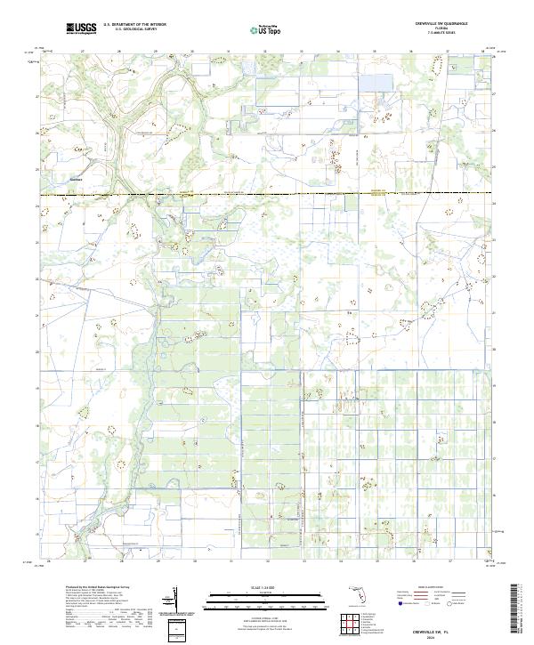
The Old Railroad Grade cuts a diagonal path across the southern landscape of this Florida region, marking a transition in the local timber or phosphate transit networks of the mid-20th century. This area, where the borders of Manatee, De Soto, and Sarasota counties meet, is defined by an intricate hydrology of wetlands and drainage. Numerous instances of a Flowing Well are scattered throughout the sections, indicating the importance of groundwater access for the remote cattle or agricultural operations of the era. Waterways such as Bud Slough, Wildcat Slough, and Buzzard Roost Branch drain the low-lying terrain, creating a complex natural mosaic. The placement of these wells and the remnants of the rail grade offer specific clues for researchers tracing the evolution of Florida's interior drainage and land use before more intensive modern development arrived.
Find a feature on this map
8 named features on this map. Tap any name to fly to it.
Don’t see what you’re looking for? This feature index may not catch every label — zoom into the map to look around manually.
Map Details
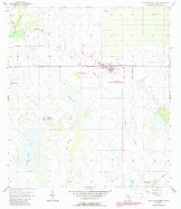
Editions of this 1956 Murdock NE Map
4 editions found
Historical Maps of Sarasota County Through Time
42 maps found
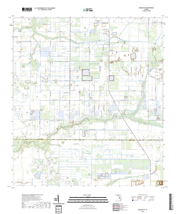
1956 Arcadia SE
DeSoto County, FL
1956 Crewsville SW
DeSoto County, FL
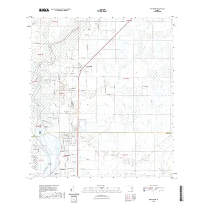
1956 Ft. Ogden
DeSoto County, FL
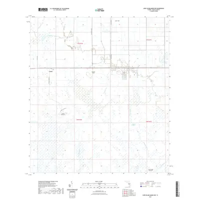
1956 Long Island Marsh SW
DeSoto County, FL
1956 Murdock NE
DeSoto County, FL
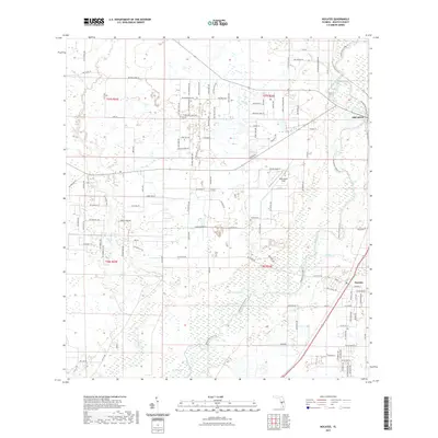
1956 Nocatee
DeSoto County, FL
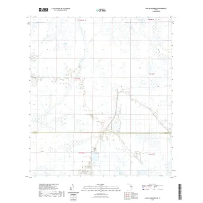
1957 Long Island Marsh NW
DeSoto County, FL
2012 Arcadia SE
DeSoto County, FL
2012 Crewsville SW
DeSoto County, FL
2012 Fort Ogden
DeSoto County, FL
2012 Long Island Marsh NW
DeSoto County, FL
2012 Long Island Marsh SW
DeSoto County, FL
2012 Murdock NE
DeSoto County, FL
2012 Nocatee
DeSoto County, FL
2015 Arcadia SE
DeSoto County, FL
2015 Crewsville SW
DeSoto County, FL
2015 Fort Ogden
DeSoto County, FL
2015 Long Island Marsh NW
DeSoto County, FL
2015 Long Island Marsh SW
DeSoto County, FL
2015 Murdock NE
DeSoto County, FL
2015 Nocatee
DeSoto County, FL
2018 Arcadia SE
DeSoto County, FL
2018 Crewsville SW
DeSoto County, FL
2018 Fort Ogden
DeSoto County, FL
2018 Long Island Marsh NW
DeSoto County, FL
2018 Long Island Marsh SW
DeSoto County, FL
2018 Murdock NE
DeSoto County, FL
2018 Nocatee
DeSoto County, FL
2021 Arcadia SE
DeSoto County, FL
2021 Crewsville SW
DeSoto County, FL
2021 Fort Ogden
DeSoto County, FL
2021 Long Island Marsh NW
DeSoto County, FL
2021 Long Island Marsh SW
DeSoto County, FL
2021 Murdock NE
DeSoto County, FL
2021 Nocatee
DeSoto County, FL
2024 Arcadia SE
DeSoto County, FL
2024 Crewsville SW
DeSoto County, FL
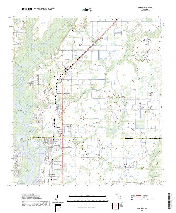
2024 Fort Ogden
DeSoto County, FL
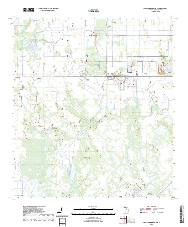
2024 Long Island Marsh NW
DeSoto County, FL
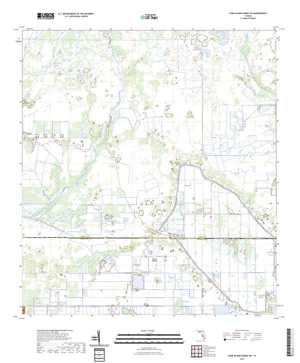
2024 Long Island Marsh SW
DeSoto County, FL
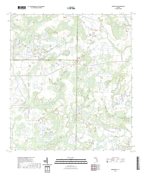
2024 Murdock NE
DeSoto County, FL
2024 Nocatee
DeSoto County, FL