Old Maps of Danks Corner, Florida for Hiking & Exploration
Hike through history with 12 historic maps of Danks Corner. Explore old trails, ghost towns, and forgotten backroads — perfect for outdoor adventurers and local explorers.
- Rediscover forgotten places: Map out old mining camps, roads, and footpaths that no longer exist on modern maps.
- Layer with modern tools: Combine with LiDAR or satellite views to plan hikes through historical terrain.
- Made for exploration: Popular among hikers, overlanders, and local history lovers.
Use these maps to find adventure and explore the hidden past of Danks Corner.
Danks Corner, FL maps
(12)- 1895 Map of Ocala
 1895 Ocala1895 Print · USGSMarion County at the end of the nineteenth century was a bustling intersection of rail and water. Researchers can trace the early footprints of Ocala and Silver Springs, or locate smaller stops along the Florida Southern R. R. like Santos and Belleview.7 unique versions available
 - 1954 Map of Gainesville, 1965 Print
 1954 Gainesville1965 Print · USGSMid-century North Central Florida comes into focus as a landscape of timber, rails, and river towns along the Gulf. Trace family roots in established centers like Gainesville or follow the path of the Suwannee River to the coastal docks of Cedar Key.3 unique versions available
 - 1958 Map of Gainesville
 1958 Gainesville1958 Print · USGSNorth Central Florida’s rail and river networks are frozen in time just before the interstate era. Genealogists and historians can trace the paths of the Atlantic Coast Line through Gainesville or locate coastal settlements like Steinhatchee and Cedar Key.
 - 1959 Map of Gainesville
 1959 Gainesville1959 Print · USGSNorth Florida in the mid-fifties is seen here from the Gulf coast to the inland lakes, showing the rail-and-river network before modern highways dominated. Researchers can trace the paths of the Seaboard Air Line through towns like Chiefland and Micanopy, or explore the coastal inlets of Waccasassa Bay.
 - 1967 Map of Belleview, 1969 Print
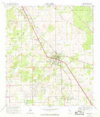 1967 Belleview1969 Print · USGSMarion County in the late sixties reveals a landscape shaped by the SEABOARD COAST LINE and the ambitious path of the PROPOSED CROSS FLORIDA BARGE CANAL. Researchers can trace the development of Belleview and locate rural landmarks like New Jerusalem Ch and Mt Pisgah Cem.2 unique versions available
 - 1978 Map of Ocala, 1980 Print
 1978 Ocala1980 Print · USGSFlorida's interior heartland and Gulf coast are seen here in the late seventies, showing the transition from freshwater springs to coastal hammocks. Genealogists and historians can trace the Seaboard Coast Line Railroad through Chiefland, Bronson, and Dunnellon.2 unique versions available
 - 1991 Map of Belleview
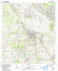 1991 Belleview1991 Print · USGSMarion County is seen during a period of steady residential expansion in the early nineties, centered on the historic crossroads at Belleview. Family researchers and local historians can trace legacy sites like Burrell Cem, Mt Pisgah Ch, and the Monroe Landing Strip.
 - 2012 Map of Belleview, 2012 Print
 2012 Belleview2012 Print · USGSCovers Danks Corner, including Belleview, Silver Springs Shores, and other nearby areas
 - 2015 Map of Belleview, 2015 Print
 2015 Belleview2015 Print · USGSCovers Danks Corner, including Belleview, Silver Springs Shores, and other nearby areas
 - 2018 Map of Belleview, 2018 Print
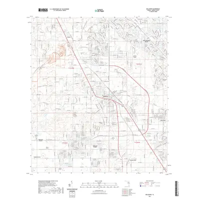
 2018 Belleview2018 Print · USGSCovers Danks Corner, including Belleview, Silver Springs Shores, and other nearby areas
 - 2021 Map of Belleview, 2021 Print
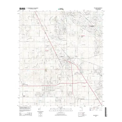
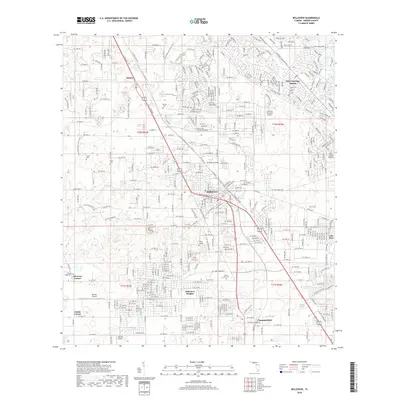
 2021 Belleview2021 Print · USGSCovers Danks Corner, including Belleview, Silver Springs Shores, and other nearby areas
 - 2024 Map of Belleview, 2024 Print
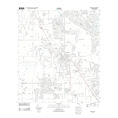
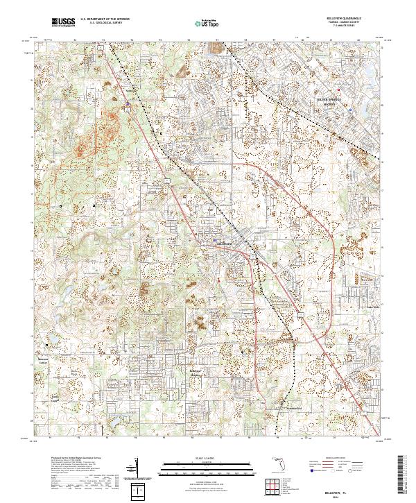 2024 Belleview2024 Print · USGSThe Belleview area of Marion County comes into sharp focus during this modern era of suburban growth and recreational trail development. Researchers can trace family history at Mount Olive Cem or locate regional landmarks like Taylor College and Leeward Air Ranch Airport.
End of results
Showing maps 1-12 of 12
Top cities near Danks Corner
- The Villages historical maps
- Ocala historical maps
- Lady Lake historical maps
- Wildwood historical maps
- Inverness historical maps
- Belleview historical maps
See more
Frequently asked questions
- What are the different types of historical maps available for Danks Corner?
- What is the oldest map of Danks Corner?
- Where can I purchase historical maps of Danks Corner for my home or office?
- Where can I download high-res historical maps of Danks Corner?
- Are there historical topographic maps available for Danks Corner?
- Is there historical aerial imagery available for Danks Corner?
- Where are historical maps of Danks Corner sourced from?