
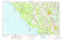
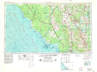
1954 Map of Gainesville
USGS Topo · Published 1965About this map
The Suwannee River and its vast marshy basin dominate this mid-century survey of the Florida Gulf coast and the developing inland interior. The landscape transitions from the dense wetlands of Mallory Swamp and the coastal labyrinth of the Suwannee Reef to the established agricultural and educational hub of Gainesville. Along the coast, small fishing outposts like Keaton Beach and Steinhatchee dot the shoreline, while the Main ship channel leads into the historic island port of Cedar Key. Inland, the map captures the regional transport network at a pivotal moment, showing the heavy reliance on the Atlantic Coast Line and Seaboard Air Line railroads. Notable land tracts such as the Arredondo Grant reflect the area's colonial-era property history, while the proximity of Newmans Lake and Orange Lake highlights the importance of the region's diverse freshwater resources.
Find a feature on this map
170 named features on this map. Tap any name to fly to it.
Don’t see what you’re looking for? This feature index may not catch every label — zoom into the map to look around manually.
Map Details
Editions of this 1954 Gainesville Map
3 editions found
Other maps of this area

1890 · Arredondo
USGS Topo · 1:62,500

1892 · Dunnellon
USGS Topo · 1:62,500

1892 · Arredondo
USGS Topo · 1:62,500

1893 · Panasoffkee
USGS Topo · 1:62,500

1893 · Citra
USGS Topo · 1:62,500

1894 · Dunnellon
USGS Topo · 1:62,500

1894 · Arredondo
USGS Topo · 1:62,500

1895 · Williston
USGS Topo · 1:62,500

1895 · Tsala Apopka
USGS Topo · 1:62,500

1895 · Citra
USGS Topo · 1:62,500