2000s (21st Century) Maps of Ocala, Florida
Explore 20 historic maps of Ocala from the 2000s (21st Century). These maps offer a rare glimpse into what life looked like during the 2000s — showing old roads, neighborhoods, homes, and landmarks that have changed or disappeared over time.
Whether you're researching your family's past, planning a metal detecting trip, or studying how Ocala's landscape evolved across the 2000s, these high-resolution maps are a powerful tool for exploring the history of this region.
- Focus on a specific era: All maps on this page are from the 2000s, giving you a focused view of this time period.
- See what’s changed: Compare century-old streets, trails, and buildings to today's modern landscape using overlays and satellite layers.
- Research with precision: Use these maps for genealogy, historical research, land use analysis, or educational projects.
- View, download, or print: Maps are fully viewable online in high resolution, and can be downloaded or printed for your own records.
Start exploring Ocala's history through authentic maps from the 2000s. This is your window into the past.
Ocala, FL maps
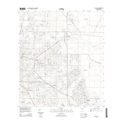
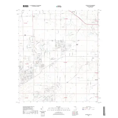
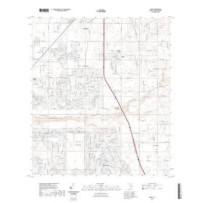
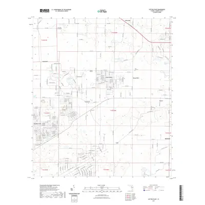
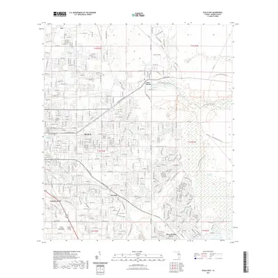
(20)- 2012 Map of Cotton Plant, 2012 Print
 2012 Cotton Plant2012 Print · USGSCovers Ocala, including Mount Olive, Cotton Plant, and other nearby areas
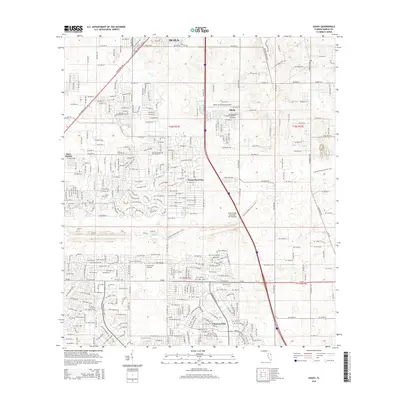
 - 2012 Map of Ocala East, 2012 Print
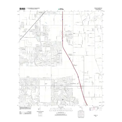
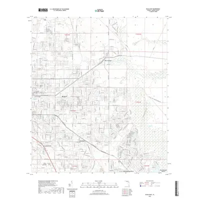
 2012 Ocala East2012 Print · USGSCovers Ocala, including Huntington, Montague, and other nearby areas
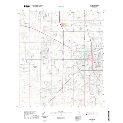
 - 2012 Map of Ocala West, 2012 Print
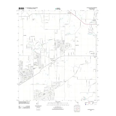
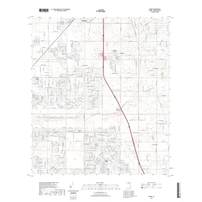
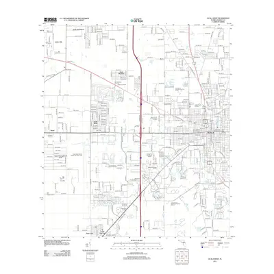 2012 Ocala West2012 Print · USGSCovers Ocala, including Martel, Ocala Ridge, and other nearby areas
 - 2012 Map of Shady, 2012 Print
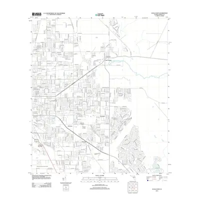
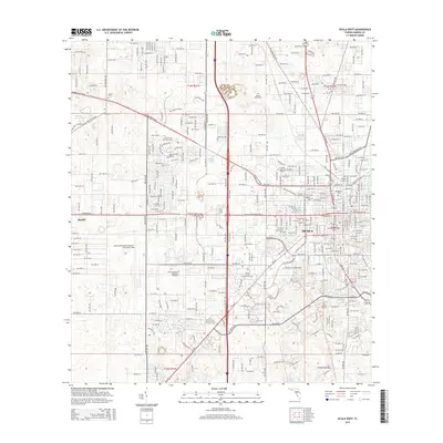
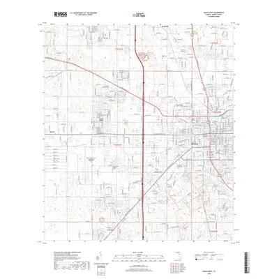
 2012 Shady2012 Print · USGSCovers Ocala, including Shady, Marion Oaks, and other nearby areas
 - 2015 Map of Ocala East, 2015 Print
 2015 Ocala East2015 Print · USGSCovers Ocala, including Huntington, Montague, and other nearby areas
 - 2015 Map of Ocala West, 2015 Print
 2015 Ocala West2015 Print · USGSCovers Ocala, including Martel, Ocala Ridge, and other nearby areas
 - 2015 Map of Cotton Plant, 2015 Print
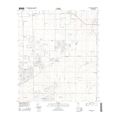 2015 Cotton Plant2015 Print · USGSCovers Ocala, including Mount Olive, Cotton Plant, and other nearby areas
 - 2015 Map of Shady, 2015 Print
 2015 Shady2015 Print · USGSCovers Ocala, including Shady, Marion Oaks, and other nearby areas
 - 2018 Map of Cotton Plant, 2018 Print
 2018 Cotton Plant2018 Print · USGSCovers Ocala, including Mount Olive, Cotton Plant, and other nearby areas
 - 2018 Map of Ocala East, 2018 Print
 2018 Ocala East2018 Print · USGSCovers Ocala, including Huntington, Montague, and other nearby areas
 - 2018 Map of Shady, 2018 Print
 2018 Shady2018 Print · USGSCovers Ocala, including Shady, Marion Oaks, and other nearby areas
 - 2018 Map of Ocala West, 2018 Print
 2018 Ocala West2018 Print · USGSCovers Ocala, including Martel, Ocala Ridge, and other nearby areas
 - 2021 Map of Shady, 2021 Print
 2021 Shady2021 Print · USGSCovers Ocala, including Shady, Marion Oaks, and other nearby areas
 - 2021 Map of Cotton Plant, 2021 Print
 2021 Cotton Plant2021 Print · USGSCovers Ocala, including Mount Olive, Cotton Plant, and other nearby areas
 - 2021 Map of Ocala West, 2021 Print
 2021 Ocala West2021 Print · USGSCovers Ocala, including Martel, Ocala Ridge, and other nearby areas
 - 2021 Map of Ocala East, 2021 Print
 2021 Ocala East2021 Print · USGSCovers Ocala, including Huntington, Montague, and other nearby areas
 - 2024 Map of Ocala East, 2024 Print
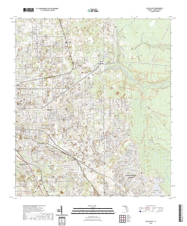 2024 Ocala East2024 Print · USGSThe eastern expansion of Ocala and the unique hydrology of the Silver River are captured in this recent survey. Researchers can locate Fort King Burial Grounds, trace the Florida National Scenic Trl, and explore the layout of Montague and Silver Springs Shores.
 - 2024 Map of Cotton Plant, 2024 Print
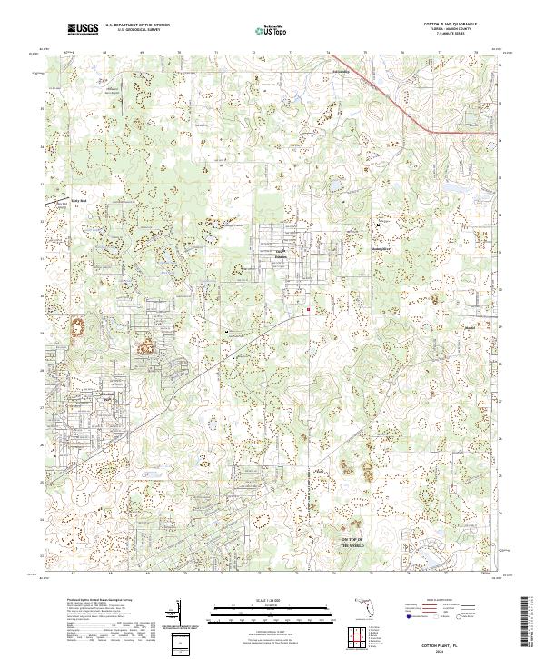 2024 Cotton Plant2024 Print · USGSMarion County's evolving residential and rural landscape is documented here in the 2020s. Researchers can locate family sites near Saint Pauls Cem, trace the growth of Ocala Estates, and identify landmarks like Early Bird.
 - 2024 Map of Ocala West, 2024 Print
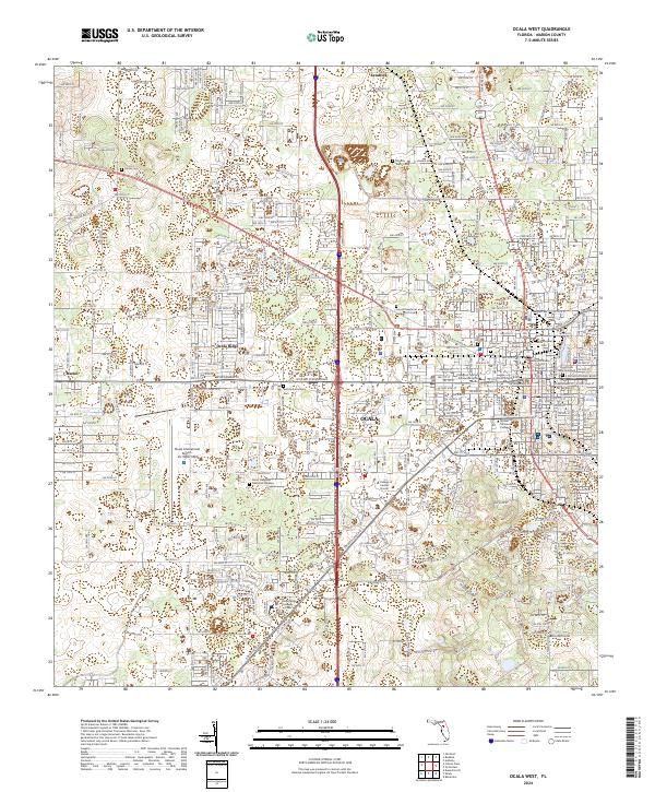 2024 Ocala West2024 Print · USGSMarion County in the early twenty-first century reveals a landscape where Ocala's urban growth surrounds a dense collection of historic cemeteries and colleges. Researchers can trace family roots at Lincoln Memorial Gardens of Ocala or study the campus layout of the College of Central Florida.
 - 2024 Map of Shady, 2024 Print
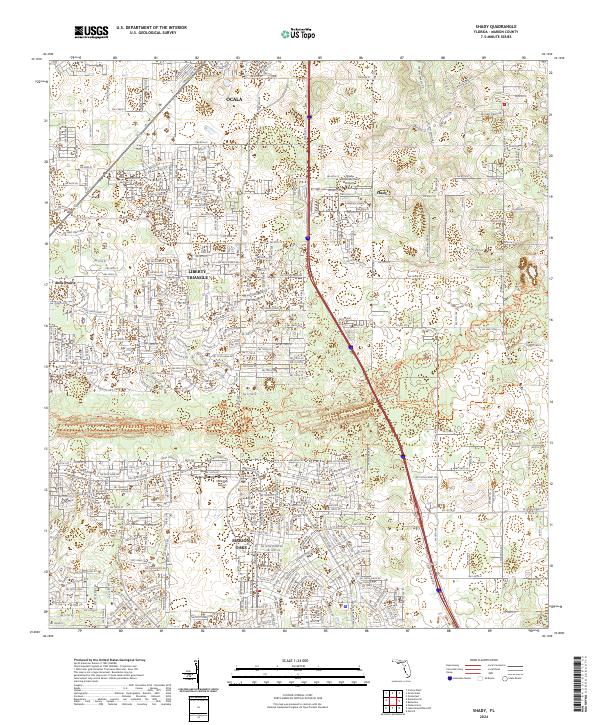 2024 Shady2024 Print · USGSMarion County's southern corridor is shown in detail during its modern period of residential and recreational growth. Trace the path of the Cross Florida Greenway and locate landmarks like Shady International Airport and Marion Oaks.
End of results
Showing maps 1-20 of 20
Top cities near Ocala
Top neighborhoods of Ocala
- Maricamp historical maps
- Cimarron historical maps
- Fore Ranch historical maps
- Carlton Arms historical maps
- Canterbury Circle Apartments historical maps
- Parkside Garden Apartments historical maps
See more
Frequently asked questions
- What are the different types of historical maps available for Ocala?
- What is the oldest map of Ocala?
- Where can I purchase historical maps of Ocala for my home or office?
- Where can I download high-res historical maps of Ocala?
- Are there historical topographic maps available for Ocala?
- Is there historical aerial imagery available for Ocala?
- Where are historical maps of Ocala sourced from?