Old Maps of Rolling Ranches, Marion County for Hiking & Exploration
Hike through history with 14 historic maps of Rolling Ranches. Explore old trails, ghost towns, and forgotten backroads — perfect for outdoor adventurers and local explorers.
- Rediscover forgotten places: Map out old mining camps, roads, and footpaths that no longer exist on modern maps.
- Layer with modern tools: Combine with LiDAR or satellite views to plan hikes through historical terrain.
- Made for exploration: Popular among hikers, overlanders, and local history lovers.
Use these maps to find adventure and explore the hidden past of Rolling Ranches.
Rolling Ranches, Marion County maps
(14)- 1892 Map of Dunnellon
 1892 Dunnellon1892 Print · USGSMarion and Levy counties were at the center of a phosphate boom in the early 1890s, anchored by the riverfront settlement of Dunnellon. Researchers can trace the early industrial footprint of Eagle Mines, find rural community hubs like Cotton Plant, and locate historical crossings such as Fish Ferry.
 - 1894 Map of Dunnellon
 1894 Dunnellon1894 Print · USGSMarion and Citrus counties were centers of a burgeoning phosphate boom in the early 1890s, where river and rail infrastructure converged. You can trace early mining operations like the Chicago Mine and Eagle Mine alongside historic river crossings at Fisk Ferry.5 unique versions available
 - 1954 Map of Dunnellon SE, 1955 Print
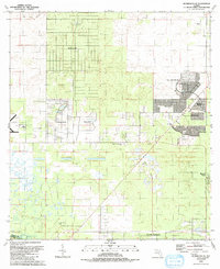
 1954 Dunnellon SE1955 Print · USGSMarion County in the mid-1950s reveals the interrupted dream of a trans-Florida waterway. Researchers can trace the path of the Proposed Gulf Atlantic Ship Canal (Abandoned) and locate landmarks like Cedar Grove Ch and the Dunnellon Airport (Abandoned).2 unique versions available
 - 1954 Map of Dunnellon, 1960 Print
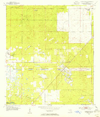
 1954 Dunnellon1960 Print · USGSDunnellon and rural Marion County appear in the mid-1950s as a landscape of phosphate mining, railroads, and fresh water springs. Genealogists and historians can trace family locations near Zion Hill Cem, Cotton Plant, and the Circle Square Ranch.
 - 1954 Map of Gainesville, 1965 Print
 1954 Gainesville1965 Print · USGSMid-century North Central Florida comes into focus as a landscape of timber, rails, and river towns along the Gulf. Trace family roots in established centers like Gainesville or follow the path of the Suwannee River to the coastal docks of Cedar Key.3 unique versions available
 - 1958 Map of Gainesville
 1958 Gainesville1958 Print · USGSNorth Central Florida’s rail and river networks are frozen in time just before the interstate era. Genealogists and historians can trace the paths of the Atlantic Coast Line through Gainesville or locate coastal settlements like Steinhatchee and Cedar Key.
 - 1959 Map of Gainesville
 1959 Gainesville1959 Print · USGSNorth Florida in the mid-fifties is seen here from the Gulf coast to the inland lakes, showing the rail-and-river network before modern highways dominated. Researchers can trace the paths of the Seaboard Air Line through towns like Chiefland and Micanopy, or explore the coastal inlets of Waccasassa Bay.
 - 1978 Map of Ocala, 1980 Print
 1978 Ocala1980 Print · USGSFlorida's interior heartland and Gulf coast are seen here in the late seventies, showing the transition from freshwater springs to coastal hammocks. Genealogists and historians can trace the Seaboard Coast Line Railroad through Chiefland, Bronson, and Dunnellon.2 unique versions available
 - 1991 Map of Dunnellon SE
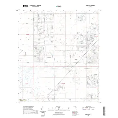
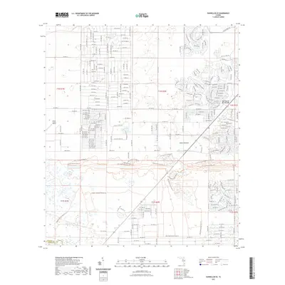
 1991 Dunnellon SE1991 Print · USGSMarion County enters a decade of rapid transformation in the early nineties as residential communities expand across the landscape. Genealogists and historians can trace the growth of Oak Run and Marion Oaks alongside rural landmarks like Cedar Grove Ch.
 - 2012 Map of Dunnellon SE, 2012 Print
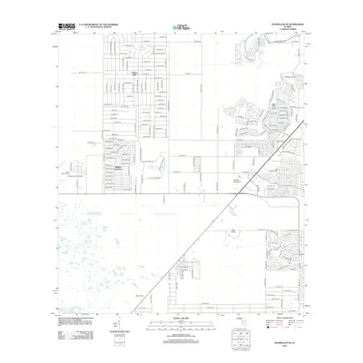 2012 Dunnellon SE2012 Print · USGSCovers Rolling Ranches, including Marion County, Citrus County, and other nearby areas
 - 2015 Map of Dunnellon SE, 2015 Print
 2015 Dunnellon SE2015 Print · USGSCovers Rolling Ranches, including Marion County, Citrus County, and other nearby areas
 - 2018 Map of Dunnellon SE, 2018 Print
 2018 Dunnellon SE2018 Print · USGSCovers Rolling Ranches, including Marion County, Citrus County, and other nearby areas
 - 2021 Map of Dunnellon SE, 2021 Print
 2021 Dunnellon SE2021 Print · USGSCovers Rolling Ranches, including Marion County, Citrus County, and other nearby areas
 - 2024 Map of Dunnellon SE, 2024 Print
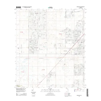
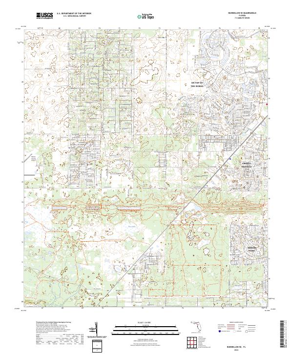 2024 Dunnellon SE2024 Print · USGSMarion County is seen here during a period of rapid residential expansion and significant land conservation. Genealogists and hikers can trace the paths of the Florida National Scenic Trail and the Cross Florida Greenway Trail as they pass near Marion Oaks.
End of results
Showing maps 1-14 of 14
Frequently asked questions
- What are the different types of historical maps available for Rolling Ranches?
- What is the oldest map of Rolling Ranches?
- Where can I purchase historical maps of Rolling Ranches for my home or office?
- Where can I download high-res historical maps of Rolling Ranches?
- Are there historical topographic maps available for Rolling Ranches?
- Is there historical aerial imagery available for Rolling Ranches?
- Where are historical maps of Rolling Ranches sourced from?