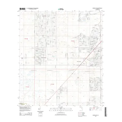
2015 Map of Dunnellon SE
USGS Topo · Published 2015About this map
Rolling Hills and Rolling Ranches define the residential character of this central Florida landscape, where a dense grid of local roads cuts through the varied terrain of Marion County. The map captures a transition between organized development and the wilder expanses of the Ross Prairie and Adams Hammock. This area is marked by unique karst-influenced water features, including the Leroy Ponds and the aptly named String of Ponds, which suggest the underlying limestone hydrology common to the region. The Florida National Scenic Trail traverses the center of the sheet, providing a corridor of preserved land through a territory increasingly defined by suburban and agricultural expansion. For researchers, the detailed road labels—such as SW 71st Lane Rd and SW 98th St—provide a precise inventory of mid-20th-century development patterns.
Find a feature on this map
108 named features on this map. Tap any name to fly to it.
Don’t see what you’re looking for? This feature index may not catch every label — zoom into the map to look around manually.
Map Details
Editions of this 2015 Dunnellon SE Map
This is the sole edition of this map. No revisions or reprints were ever made.
Other maps of this area

1892 · Dunnellon
USGS Topo · 1:62,500

1893 · Panasoffkee
USGS Topo · 1:62,500

1894 · Dunnellon
USGS Topo · 1:62,500

1895 · Tsala Apopka
USGS Topo · 1:62,500

1895 · Panasoffkee
USGS Topo · 1:62,500

1895 · Ocala
USGS Topo · 1:62,500

1954 · Holder
USGS Topo · 1:24,000

1954 · Romeo
USGS Topo · 1:24,000

1954 · Tsala Apopka NE
USGS Topo · 1:24,000

1954 · Dunnellon
USGS Topo · 1:24,000