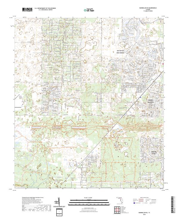
2024 Map of Dunnellon SE
USGS Topo · Published 2024About this map
Marion Oaks and the sprawling residential developments of On Top of the World define the modern residential character of this portion of Marion County. The landscape is a study in contrasting land use, where densely gridded street networks meet the preserved wilderness of the Ross Prairie State Forest. Notable water features like Ross Pond, Lake Outing, and the Leroy Ponds are scattered throughout the limestone-rich terrain, providing a natural backdrop to the nearby Marion County Airport.
Find a feature on this map
35 named features on this map. Tap any name to fly to it.
Don’t see what you’re looking for? This feature index may not catch every label — zoom into the map to look around manually.
Map Details
Editions of this 2024 Dunnellon SE Map
This is the sole edition of this map. No revisions or reprints were ever made.
Other maps of this area

1892 · Dunnellon
USGS Topo · 1:62,500

1893 · Panasoffkee
USGS Topo · 1:62,500

1894 · Dunnellon
USGS Topo · 1:62,500

1895 · Tsala Apopka
USGS Topo · 1:62,500

1895 · Panasoffkee
USGS Topo · 1:62,500

1895 · Ocala
USGS Topo · 1:62,500

1954 · Holder
USGS Topo · 1:24,000

1954 · Romeo
USGS Topo · 1:24,000

1954 · Tsala Apopka NE
USGS Topo · 1:24,000

1954 · Dunnellon
USGS Topo · 1:24,000