Old Maps of York, Florida for Metal Detecting
Plan your next treasure hunt with 14 historic maps of York. Find old homesites, ghost towns, trails, and gathering spots that may be lost to time — perfect for identifying promising metal detecting locations.
- Locate forgotten sites: Uncover places like long-lost settlements, abandoned rail lines, or gathering spots.
- Plan better hunts: Use map overlays combined with LiDAR or satellite views to narrow in on historically rich areas.
- Made for detectorists: Thousands of hobbyists use these maps to discover relics, coins, and hidden history.
Use these historic maps to boost your research and find new opportunities beneath the surface of York.
York, FL maps
(14)- 1892 Map of Dunnellon
 1892 Dunnellon1892 Print · USGSMarion and Levy counties were at the center of a phosphate boom in the early 1890s, anchored by the riverfront settlement of Dunnellon. Researchers can trace the early industrial footprint of Eagle Mines, find rural community hubs like Cotton Plant, and locate historical crossings such as Fish Ferry.
 - 1894 Map of Dunnellon
 1894 Dunnellon1894 Print · USGSMarion and Citrus counties were centers of a burgeoning phosphate boom in the early 1890s, where river and rail infrastructure converged. You can trace early mining operations like the Chicago Mine and Eagle Mine alongside historic river crossings at Fisk Ferry.5 unique versions available
 - 1954 Map of Cotton Plant, 1955 Print
 1954 Cotton Plant1955 Print · USGSMarion County in the mid-fifties is a landscape of rural settlements and intersecting rail lines. Genealogists and historians can locate old churches and community centers like Mars Hill Ch, Cotton Plant, and the railway siding at Martel.2 unique versions available
 - 1954 Map of Dunnellon, 1960 Print
 1954 Dunnellon1960 Print · USGSDunnellon and rural Marion County appear in the mid-1950s as a landscape of phosphate mining, railroads, and fresh water springs. Genealogists and historians can trace family locations near Zion Hill Cem, Cotton Plant, and the Circle Square Ranch.
 - 1954 Map of Gainesville, 1965 Print
 1954 Gainesville1965 Print · USGSMid-century North Central Florida comes into focus as a landscape of timber, rails, and river towns along the Gulf. Trace family roots in established centers like Gainesville or follow the path of the Suwannee River to the coastal docks of Cedar Key.3 unique versions available
 - 1958 Map of Gainesville
 1958 Gainesville1958 Print · USGSNorth Central Florida’s rail and river networks are frozen in time just before the interstate era. Genealogists and historians can trace the paths of the Atlantic Coast Line through Gainesville or locate coastal settlements like Steinhatchee and Cedar Key.
 - 1959 Map of Gainesville
 1959 Gainesville1959 Print · USGSNorth Florida in the mid-fifties is seen here from the Gulf coast to the inland lakes, showing the rail-and-river network before modern highways dominated. Researchers can trace the paths of the Seaboard Air Line through towns like Chiefland and Micanopy, or explore the coastal inlets of Waccasassa Bay.
 - 1978 Map of Ocala, 1980 Print
 1978 Ocala1980 Print · USGSFlorida's interior heartland and Gulf coast are seen here in the late seventies, showing the transition from freshwater springs to coastal hammocks. Genealogists and historians can trace the Seaboard Coast Line Railroad through Chiefland, Bronson, and Dunnellon.2 unique versions available
 - 1991 Map of Cotton Plant
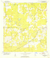
 1991 Cotton Plant1991 Print · USGSMarion County in the early nineties reveals a transition from traditional rural life to a noted equestrian and residential landscape. Researchers can trace historic church sites and cemeteries like Wesley Chapel Cem and Siloam Ch Cem alongside the Classic Mile Racetrack.
 - 2012 Map of Cotton Plant, 2012 Print
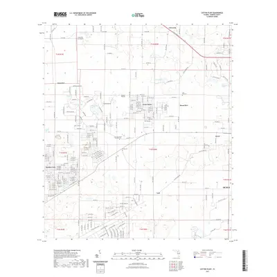
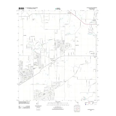 2012 Cotton Plant2012 Print · USGSCovers York, including Ocala, Mount Olive, and other nearby areas
 - 2015 Map of Cotton Plant, 2015 Print
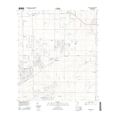 2015 Cotton Plant2015 Print · USGSCovers York, including Ocala, Mount Olive, and other nearby areas
 - 2018 Map of Cotton Plant, 2018 Print
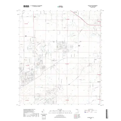 2018 Cotton Plant2018 Print · USGSCovers York, including Ocala, Mount Olive, and other nearby areas
 - 2021 Map of Cotton Plant, 2021 Print
 2021 Cotton Plant2021 Print · USGSCovers York, including Ocala, Mount Olive, and other nearby areas
 - 2024 Map of Cotton Plant, 2024 Print
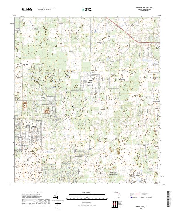 2024 Cotton Plant2024 Print · USGSMarion County's evolving residential and rural landscape is documented here in the 2020s. Researchers can locate family sites near Saint Pauls Cem, trace the growth of Ocala Estates, and identify landmarks like Early Bird.
End of results
Showing maps 1-14 of 14
Top cities near York
- Ocala historical maps
- Pine Ridge historical maps
- Rainbow Springs historical maps
- Belleview historical maps
- Williston historical maps
- Dunnellon historical maps
See more
Frequently asked questions
- What are the different types of historical maps available for York?
- What is the oldest map of York?
- Where can I purchase historical maps of York for my home or office?
- Where can I download high-res historical maps of York?
- Are there historical topographic maps available for York?
- Is there historical aerial imagery available for York?
- Where are historical maps of York sourced from?